Cropton in the Domesday Book (1086)
The 1086 Domesday survey records the settlement of Cropton, entered under the hundred of Dic in Yorkshire.
Other Settlements in Dic
- Aislaby
- Allerston
- Appleton [le Moors]
- Aschelesmersc
- Aschilesmares
- Barton [le Street]
- Baschebi
- Baschesbi
- Brompton
- Burniston
- Burton [Dale]
- Cawthorn
- Cayton
- Chigogemers
The Meaning of the Name
The name Cropton is of Anglo-Saxon origin. Its final element derives from the Old English word tūn, a farmstead or village. The first element is most likely a personal name or an early descriptive term, now difficult to recover with certainty. Taken together the name probably meant something close to ‘a farmstead’.
Remarkably, the name has changed little since 1086, when the Domesday scribes wrote it as Cropton.
Listed Buildings Near Cropton
Historic England records 19 listed buildings within about a mile of Cropton. Listing protects structures of special architectural or historic interest, graded I (exceptional), II* (particularly important) and II.
Grade II
- Church of St Gregory - 0.19 km
- Stump of Churchyard Cross Approximately 20 Metres South of Church of St Gregory - 0.2 km
- Court House - 0.31 km
- Rose Cottage - 0.31 km
- Old Manor House - 0.32 km
- Hydrant - 0.33 km
- The Old Cottage - 0.37 km
- Holme House - 0.45 km
- Hydrant - 0.49 km
- Cruck Cottage - 0.49 km
- The Green - 0.51 km
- Numbers 1 and 2 Corner Cottage - 0.54 km
- Kirby Balk - 0.9 km
- Cropton Mill - 1.06 km
- Whitethorn Farmhouse - 1.07 km
- Seven Bridge - 1.11 km
- Seven Bridge - 1.11 km
- Cart Shed Approximately 50 Metres East of Whitethorn Farmhouse - 1.11 km
- Askew Bridge - 1.26 km
Scheduled Monuments Near Cropton
Scheduled monuments are nationally important archaeological sites given legal protection. 6 lie within roughly a mile of Cropton:
- Standing cross in churchyard of St Gregory’s Church at Cropton - 0.2 km
- Cropton Hall Garth: a motte and bailey castle including later medieval manor house, a medieval trackway and a pond - 0.21 km
- Fall Rigg cross dyke and round barrow, 710m north of Sycamore Farm - 0.73 km
- Round barrow 350m north west of Hen Flatts - 1.08 km
- Blackpark medieval farmstead 140m south of Blackpark Lodge - 1.26 km
- Blackpark cross dyke and standing stone, 330m north east of Blackpark Lodge - 1.59 km
Cropton Today
Today Cropton lies within the administrative area of Ryedale, and the settlement recorded a population of 222 at the 2021 census. Nine and a half centuries separate that figure from the small rural community the Domesday survey recorded here in 1086.
Read more about modern Cropton on Wikipedia .
Nearby Domesday Settlements
Other places recorded in the 1086 survey within a few miles:
- Cawthorn - 2.0 km E
- Appleton le Moors - 2.2 km SW
- Spaunton - 3.0 km W
- Baschebi - 3.2 km W
- Baschesbi - 3.2 km W
- Lastingham - 3.2 km W
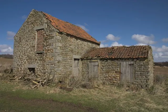
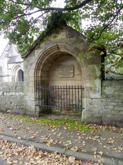
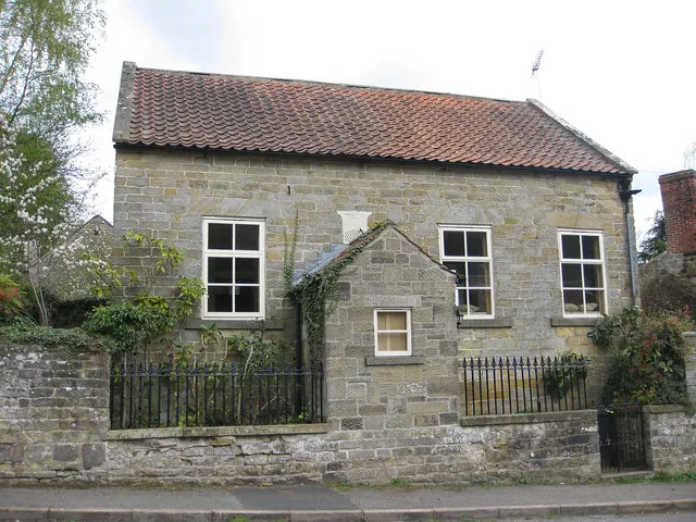
Heritage Around Cropton
Photographs of churches, listed buildings and monuments in the vicinity, contributed by volunteers to the Geograph project and reused here under a Creative Commons licence.
© Colin Grice · Geograph · CC BY-SA 2.0
© Maigheach-gheal · Geograph · CC BY-SA 2.0
© Pauline E · Geograph · CC BY-SA 2.0
Images © their respective photographers, licensed under CC BY-SA 2.0 and reused here with attribution. Photographs depict listed buildings, churches and monuments near this settlement and may show neighbouring villages.
Data derived from the Open Domesday project (opendomesday.org), based on the Domesday Book dataset compiled by Professor J.J.N. Palmer and team. The Domesday Book (1086) is in the public domain.
Found an inaccuracy? [email protected]