Croom House in the Domesday Book (1086)
Croom House is named in the Domesday Book, compiled by Norman commissioners in 1086, entered under the hundred of Toreshou in Yorkshire. The survey assessed Croom House at 3.1 carucates of taxable land.
At the time of the survey, Croom House supported a recorded population of 7 villagers, 4 smallholders, 12 freemanmen, working 6 ploughs between them.
Something went badly wrong here between the two surveys. Before 1066, Croom House was worth 4 shillings; by 1086 that had dropped to 3.05 shillings – a fall of 23%. Most Yorkshire villages that lost value on this scale were swept up in the Harrying of the North – William’s scorched-earth campaign of 1069–70.
The survey lists 8 manors at Croom House under different lords. Splitting a single settlement between multiple tenants was common across the North – Saxon estates broken up and handed to William’s followers after 1066.
Other Settlements in Toreshou
- Cottam
- Cowlam
- Helperthorpe
- Kirby [Grindalythe]
- Knapton
- Newton
- Sherburn
- Sledmere
- Thirkleby [Manor]
- Turodebi
- Ulchiltorp
- Weaverthorpe
- [East and West] Lutton
- [East] Heslerton
The Meaning of the Name
The origin of the name Croom House is not securely established from its modern form alone; like many settlement names in the North it likely combines an Old English or Old Norse personal name with a landscape term.
Remarkably, the name has changed little since 1086, when the Domesday scribes wrote it as Croom House.
Listed Buildings Near Croom House
Historic England records 29 listed buildings within about a mile of Croom House. Listing protects structures of special architectural or historic interest, graded I (exceptional), II* (particularly important) and II.
Grade I
- Sledmere House - 0.96 km
Grade II*
- Bloodstock Stables and Farmery With Walls and Gate Piers - 0.84 km
- Stables and Carriage House to Sledmere House - 0.95 km
Grade II
- Croom House - 0.3 km
- Cart House, Stables and Pigeoncote to Croom House Farm - 0.31 km
- The Villa - 0.65 km
- The Vicarage - 0.65 km
- Estate Office and Clerk’s House - 0.67 km
- The Well and Railings - 0.67 km
- Shop Farmhouse - 0.67 km
- Gates, Lodges and Flanking Walls to Sledmere House - 0.69 km
- Triton Cottage and Barn Adjoining - 0.7 km
- Former Post Office and Post Master’s House - 0.7 km
- The Triton Inn - 0.72 km
- Carthouse and Stables Approximately 5 Metres to East of Triton Cottage - 0.72 km
- Village school and schoolmaster’s house - 0.72 km
- Walled Garden to Sledmere House - 0.76 km
- Cart-sheds Approximately 7 Metres to North-east of Bloodstock Stables - 0.76 km
- 1-4, Gardeners Row - 0.76 km
- Cart-shed and Work Rooms 3 Metres to North of Bloodstock Stables - 0.77 km
- Stables Approximately 5 Metres to North of Bloodstock Stables - 0.81 km
- Gates, Piers and Walls to Sledmere House From the Stables to the Triton Inn - 0.83 km
- Cart-shed Approximately 3 Metres to North-west of Bloodstock Stables - 0.83 km
- Fountain Approximately 10 Metres to South-west of Sledmere House - 1.0 km
…and 5 more listed structures in the area.
Scheduled Monuments Near Croom House
Scheduled monuments are nationally important archaeological sites given legal protection. 1 lies within roughly a mile of Croom House:
Nearby Domesday Settlements
Other places recorded in the 1086 survey within a few miles:
- Sledmere - 1.0 km S
- Cowlam - 3.0 km E
- Thirkleby Manor - 3.2 km N
- Thirkleby Manor - 3.2 km N
- Kirby Grindalythe - 3.6 km NW
- Turodebi - 3.6 km NW
Heritage Around Croom [House]
Photographs of churches, listed buildings and monuments in the vicinity, contributed by volunteers to the Geograph project and reused here under a Creative Commons licence.
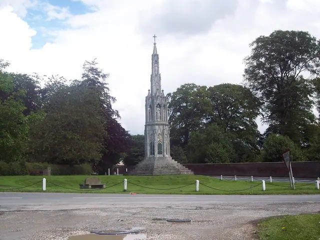
© Maigheach-gheal · Geograph · CC BY-SA 2.0
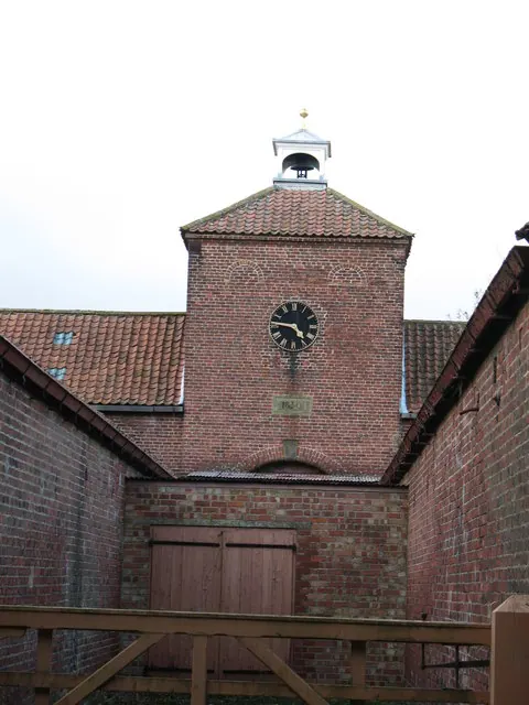
© Gordon Hatton · Geograph · CC BY-SA 2.0
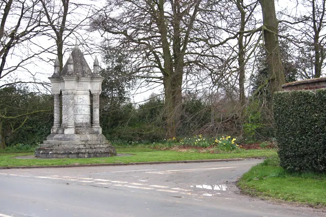
© Peter Church · Geograph · CC BY-SA 2.0
Images © their respective photographers, licensed under CC BY-SA 2.0 and reused here with attribution. Photographs depict listed buildings, churches and monuments near this settlement and may show neighbouring villages.
Data derived from the Open Domesday project (opendomesday.org), based on the Domesday Book dataset compiled by Professor J.J.N. Palmer and team. The Domesday Book (1086) is in the public domain.
Found an inaccuracy? [email protected]