Crooks House in the Domesday Book (1086)
Crooks House is named in the Domesday Book, compiled by Norman commissioners in 1086, entered under the hundred of Craven in Yorkshire.
Other Settlements in Craven
- Addingham
- Airton
- Anley
- Appletreewick
- Arncliffe
- Arnford
- Barnoldswick
- Bashall [Eaves]
- Battersby [Barn]
- Beamsley
- Birkby [Hall]
- Bogeuurde
- Bolton [Abbey]
- Bolton [by Bowland]
The Meaning of the Name
The origin of the name Crooks House is not securely established from its modern form alone; like many settlement names in the North it likely combines an Old English or Old Norse personal name with a landscape term.
Remarkably, the name has changed little since 1086, when the Domesday scribes wrote it as Crooks House.
Listed Buildings Near Crooks House
Historic England records 14 listed buildings within about a mile of Crooks House. Listing protects structures of special architectural or historic interest, graded I (exceptional), II* (particularly important) and II.
Grade I
- Church of St Michael - 1.06 km
Grade II
- Turpit Gate House Farmhouse - 0.5 km
- Yarlside Farmhouse and Attached Barn - 0.8 km
- Milestone at Sd 87155021 - 0.93 km
- New House Farmhouse - 1.03 km
- Hopwood House - 1.04 km
- Hopwood Farmhouse - 1.04 km
- Barn Incorporating Remains of King Henry’s Parlour, Bracewell Hall - 1.11 km
- Horton Grange Farmhouse - 1.18 km
- Horton Grange Cottage - 1.22 km
- Congregational Chapel - 1.23 km
- Sunny Bank - 1.24 km
- Wall East of Horton House, With 2 Gatepiers, 2 End Piers, Gate and Railings - 1.29 km
- Horton House - 1.29 km
Scheduled Monuments Near Crooks House
Scheduled monuments are nationally important archaeological sites given legal protection. 1 lies within roughly a mile of Crooks House:
Nearby Domesday Settlements
Other places recorded in the 1086 survey within a few miles:
- Stock - 0.0 km N
- Bracewell - 1.0 km S
- Horton - 1.4 km NW
- Painley - 2.2 km NW
- East and West Marton - 3.2 km E
- Barnoldswick - 3.2 km S
Heritage Around Crooks [House]
Photographs of churches, listed buildings and monuments in the vicinity, contributed by volunteers to the Geograph project and reused here under a Creative Commons licence.
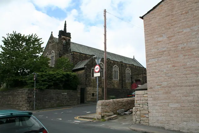
© Dr Neil Clifton · Geograph · CC BY-SA 2.0
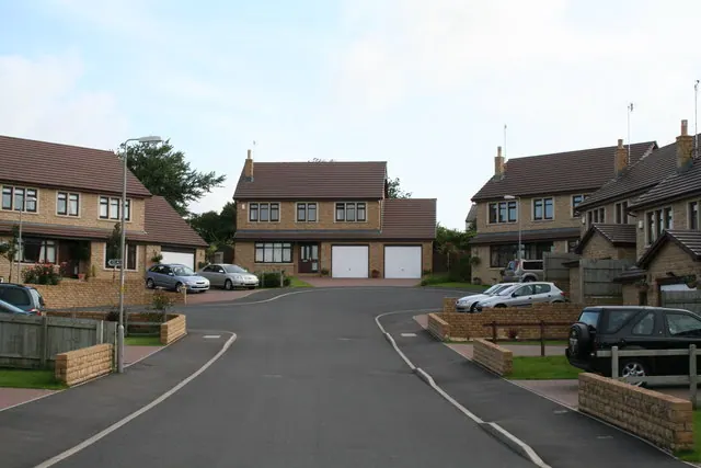
© Dr Neil Clifton · Geograph · CC BY-SA 2.0
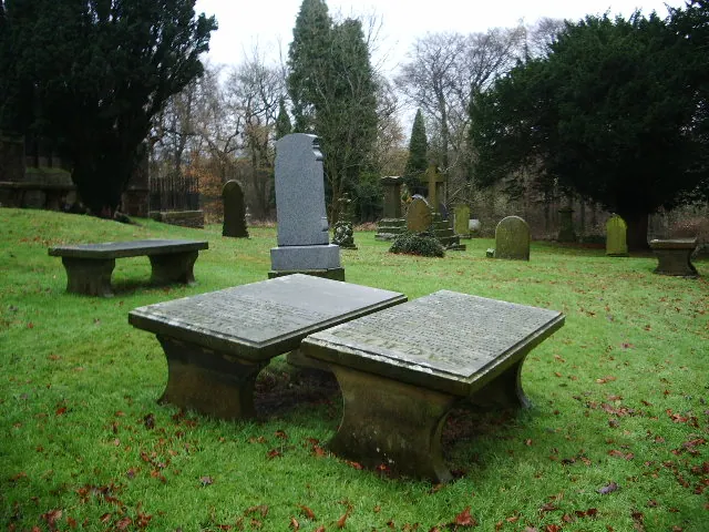
© Alexander P Kapp · Geograph · CC BY-SA 2.0
Images © their respective photographers, licensed under CC BY-SA 2.0 and reused here with attribution. Photographs depict listed buildings, churches and monuments near this settlement and may show neighbouring villages.
Data derived from the Open Domesday project (opendomesday.org), based on the Domesday Book dataset compiled by Professor J.J.N. Palmer and team. The Domesday Book (1086) is in the public domain.
Found an inaccuracy? [email protected]