Cromford in the Domesday Book (1086)
The settlement of Cromford is recorded in William I’s Domesday survey of 1086, entered under the hundred of Hamston in Derbyshire.
Other Settlements in Hamston
- Alsop [-en-le-Dale]
- Ashbourne
- Atlow
- Ballidon
- Bonsall
- Bradbourne
- Brassington
- Broadlowash
- Callow
- Carsington
- Cowley
- Elton
- Hanson [Grange]
- Hartington
The Meaning of the Name
The name Cromford is of Anglo-Saxon origin. Its final element derives from the Old English word ford, a river crossing. The first element is most likely a personal name or an early descriptive term, now difficult to recover with certainty. Taken together the name probably meant something close to ‘a ford’.
Remarkably, the name has changed little since 1086, when the Domesday scribes wrote it as Cromford.
Listed Buildings Near Cromford
Historic England records 99 listed buildings within about a mile of Cromford. Listing protects structures of special architectural or historic interest, graded I (exceptional), II* (particularly important) and II.
Grade II*
- The Arkwright Houses - 0.31 km
- The Arkwright Houses and Unnumbered House to Left of Number 1 - 0.32 km
Grade II
- 41, Bedehouse Lane - 0.22 km
- 43, Bedehouse Lane - 0.23 km
- 30, Bedehouse Lane - 0.24 km
- The Cromford Almshouses or Bedehouses - 0.24 km
- Numbers 36 and 38 With Outbuilding Attached to North - 0.24 km
- Alison House - 0.26 km
- School House - 0.26 km
- Church of England School - 0.27 km
- 13, North Street - 0.28 km
- The Cottage and Weaver Cottage (to the rear of Nos 18 and 19) - 0.29 km
- 93-101, Cromford Hill - 0.29 km
- 73-91, Cromford Hill - 0.3 km
- Structure 20 Metres South West of the Cottage and Weaver Cottage - 0.3 km
- Building to the rear of 59 to 63, The Hill - 0.31 km
- 46-52, Cromford Hill - 0.32 km
- 9-13, Barnwell Lane - 0.33 km
- Old Rectory - 0.33 km
- Numbers 49-69 (Odd) With Building Adjacent to Number 49 - 0.33 km
- The Back Shop (On Passage Adjacent to the Bell Inn) - 0.34 km
- 54-76, Cromford Hill - 0.34 km
- Unnumbered Premises Between 45 Cromford Hill and the Arkwright Houses - 0.34 km
- Outbuildings to the Rear of Number 1 - 0.34 km
…and 75 more listed structures in the area.
Scheduled Monuments Near Cromford
Scheduled monuments are nationally important archaeological sites given legal protection. 3 lie within roughly a mile of Cromford:
- Entrance to Long Sough west of Allen’s Hill - 0.38 km
- Cromford Bridge - 0.83 km
- Railway embankment N of Wirksworth - 1.14 km
Cromford Today
Today Cromford lies within the administrative area of Derbyshire Dales, and the settlement recorded a population of 1,392 at the 2021 census. Nine and a half centuries separate that figure from the small rural community the Domesday survey recorded here in 1086.
Read more about modern Cromford on Wikipedia .
Nearby Domesday Settlements
Other places recorded in the 1086 survey within a few miles:
- Middleton - 2.0 km W
- Wirksworth - 2.2 km SW
- Bonsall - 2.8 km NW
- Matlock - 4.0 km N
- Matlock Bridge? - 4.0 km N
- Lea - 4.1 km E
Heritage Around Cromford
Photographs of churches, listed buildings and monuments in the vicinity, contributed by volunteers to the Geograph project and reused here under a Creative Commons licence.
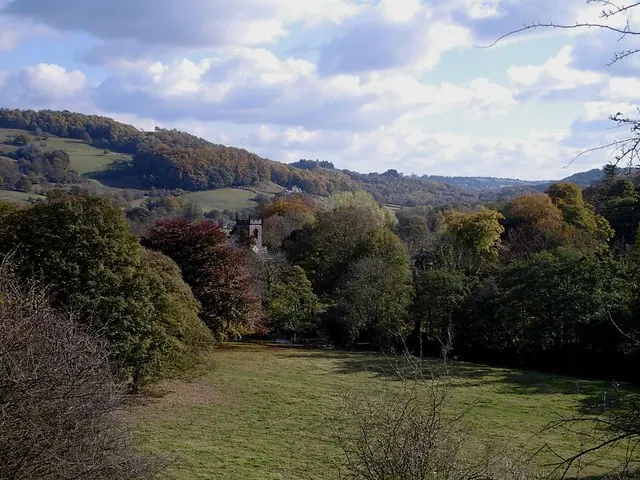
© Dave Bevis · Geograph · CC BY-SA 2.0
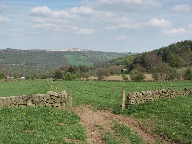
© Mike Fowkes · Geograph · CC BY-SA 2.0
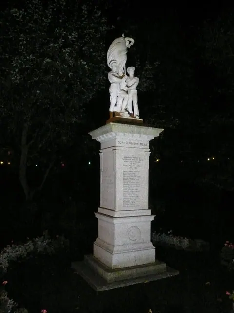
© Alan Heardman · Geograph · CC BY-SA 2.0
Images © their respective photographers, licensed under CC BY-SA 2.0 and reused here with attribution. Photographs depict listed buildings, churches and monuments near this settlement and may show neighbouring villages.
Data derived from the Open Domesday project (opendomesday.org), based on the Domesday Book dataset compiled by Professor J.J.N. Palmer and team. The Domesday Book (1086) is in the public domain.
Found an inaccuracy? [email protected]