Crofton in the Domesday Book (1086)
Crofton is named in the Domesday Book, compiled by Norman commissioners in 1086, entered under the hundred of Agbrigg in Yorkshire.
Other Settlements in Agbrigg
- Ackton
- Almondbury
- Austonley
- Bradley
- Cartworth
- Crigglestone
- Dalton
- Emley
- Farnley [Tyas]
- Flockton
- Fulstone
- Golcar
- Hepworth
- Holme
The Meaning of the Name
The name Crofton is of Anglo-Saxon origin. Its final element derives from the Old English word tūn, a farmstead or village. The first element is most likely a personal name or an early descriptive term, now difficult to recover with certainty. Taken together the name probably meant something close to ‘a farmstead’.
Remarkably, the name has changed little since 1086, when the Domesday scribes wrote it as Crofton.
Listed Buildings Near Crofton
Historic England records 8 listed buildings within about a mile of Crofton. Listing protects structures of special architectural or historic interest, graded I (exceptional), II* (particularly important) and II.
Grade II*
- Church of All Saints - 0.39 km
Grade II
- Grave Slab Memorial to Anne Ingham Approximately 5 Metres North East of Lychgate to Church of All Saints - 0.38 km
- Grave Slab and Sarcophagus Immediately to South of First Bay of Nave of Church of All Saints - 0.39 km
- Stocks Near to Entrance to Churchyard of Church of All Saints - 0.39 km
- Wilson Mausoleum to North East of All Saints Church - 0.4 km
- 51-59, High Street - 0.7 km
- Bedford Farmhouse - 0.97 km
- 1 Santingley Lane - 1.2 km
Crofton Today
Today Crofton lies within the administrative area of Wakefield, and the settlement recorded a population of 6,359 at the 2021 census. Nine and a half centuries separate that figure from the small rural community the Domesday survey recorded here in 1086.
Read more about modern Crofton on Wikipedia .
Nearby Domesday Settlements
Other places recorded in the 1086 survey within a few miles:
- Walton - 2.2 km SW
- Sandal Magna - 3.0 km W
- Warmfield - 3.0 km N
- Nostell Priory - 3.2 km E
- West Hardwick - 4.0 km E
- Cold Hiendley - 4.0 km S
Heritage Around Crofton
Photographs of churches, listed buildings and monuments in the vicinity, contributed by volunteers to the Geograph project and reused here under a Creative Commons licence.
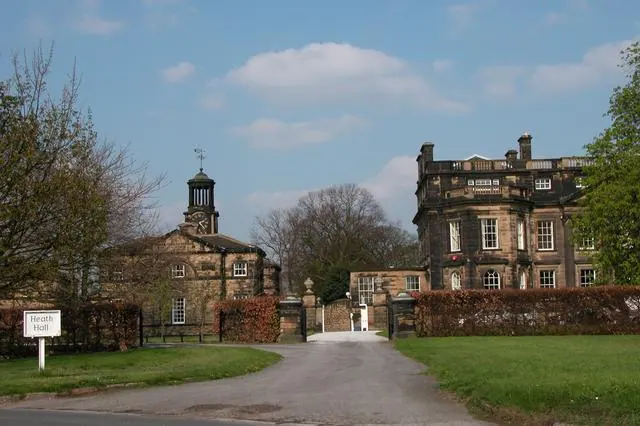
© Martyn Pattison · Geograph · CC BY-SA 2.0
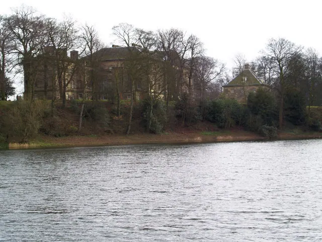
© Steve Fareham · Geograph · CC BY-SA 2.0
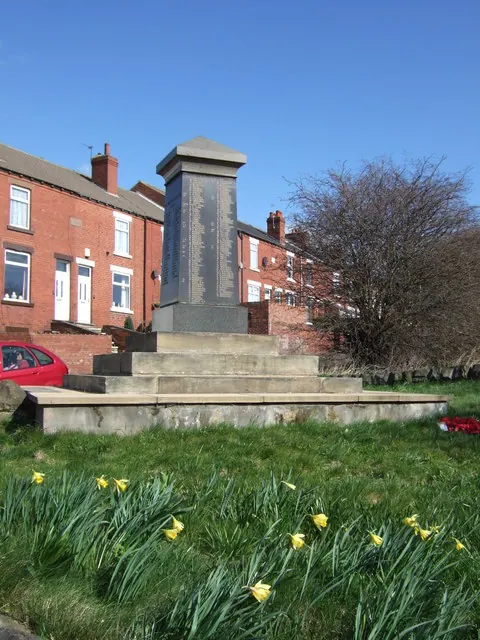
© Ian Russell · Geograph · CC BY-SA 2.0
Images © their respective photographers, licensed under CC BY-SA 2.0 and reused here with attribution. Photographs depict listed buildings, churches and monuments near this settlement and may show neighbouring villages.
Data derived from the Open Domesday project (opendomesday.org), based on the Domesday Book dataset compiled by Professor J.J.N. Palmer and team. The Domesday Book (1086) is in the public domain.
Found an inaccuracy? [email protected]