Croft in the Domesday Book (1086)
The settlement of Croft is recorded in William I’s Domesday survey of 1086, entered under the hundred of Land of Count Alan in Yorkshire. The survey assessed Croft at 0.8 carucates of taxable land.
At the time of the survey, Croft supported a recorded population of 9 villagers, working 2 ploughs between them.
The survey puts Croft’s value at 2.5 shillings, the same as before the Conquest. Unchanged valuations are relatively rare in the North, where disruption was widespread.
Resources Recorded at Croft (1086)
- Meadow: 20 acres
Other Settlements in Land of Count Alan
- Achebi
- Agglethorpe
- Ainderby [Mires]
- Ainderby [Quernhow]
- Aiskew
- Aldbrough
- Allerthorpe [Hall]
- Ascam
- Ascham
- Asebi
- Aske [Hall]
- Askrigg
- Aysgarth
- Baldersby
The Meaning of the Name
The origin of the name Croft is not securely established from its modern form alone; like many settlement names in the North it likely combines an Old English or Old Norse personal name with a landscape term.
Remarkably, the name has changed little since 1086, when the Domesday scribes wrote it as Croft.
Listed Buildings Near Croft
Historic England records 29 listed buildings within about a mile of Croft. Listing protects structures of special architectural or historic interest, graded I (exceptional), II* (particularly important) and II.
Grade I
- Church of St Peter - 0.46 km
- Croft Bridge - 0.51 km
- Croft Bridge - 0.52 km
Grade II
- Numbers 1-4 the Terrace - 0.18 km
- Croft Hall - 0.2 km
- Gate Piers and Walls Forming Main Entrance to Croft Hall - 0.21 km
- Garden Wall Running Approximately 30 Metre South From Ashgrove - 0.3 km
- Ashgrove - 0.3 km
- Spa Cottages - 0.35 km
- The Limes - 0.36 km
- Woodbine Cottage - 0.37 km
- The Croft Hotel - 0.38 km
- Entrance Gateway to Bridge House - 0.39 km
- The Old Rectory and Screen Wall - 0.41 km
- Bridge House - 0.41 km
- Old Spa Villa - 0.45 km
- Todd Tomb Approximately 7 Metres South of East End of Chancel of Church of St Peter - 0.46 km
- Outbuilding Approximately 6 Metres South of Old Spa Villa - 0.46 km
- Gate Pier and Attached Wall Approximately 125 Metres South East of Monkend Hall - 0.47 km
- Sundial Approximately South East of Monk End Hall - 0.47 km
- Monk End Hall - 0.49 km
- Stable Block Approximately 10 Metres North of Monk End Hall - 0.51 km
- Tees Railway Bridge - 0.55 km
- Tees Bridge - 0.56 km
…and 5 more listed structures in the area.
Croft Today
Today Croft lies within the administrative area of Richmondshire, and the settlement recorded a population of 467 at the 2021 census. Nine and a half centuries separate that figure from the small rural community the Domesday survey recorded here in 1086.
Read more about modern Croft-on-Tees on Wikipedia .
Nearby Domesday Settlements
Other places recorded in the 1086 survey within a few miles:
Heritage Around Croft
Photographs of churches, listed buildings and monuments in the vicinity, contributed by volunteers to the Geograph project and reused here under a Creative Commons licence.
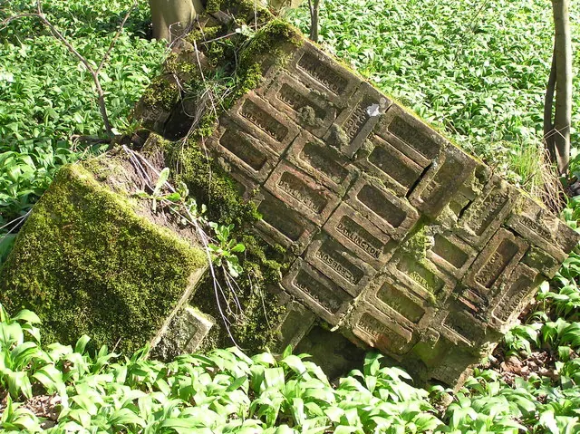
© Hugh Mortimer · Geograph · CC BY-SA 2.0
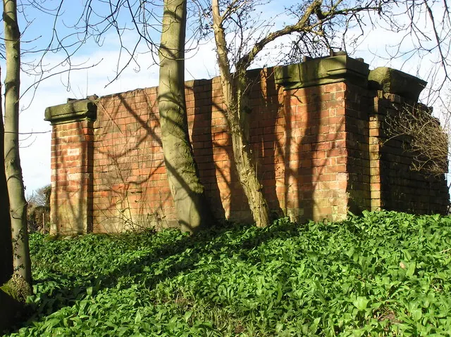
© Hugh Mortimer · Geograph · CC BY-SA 2.0
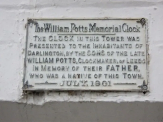
© Stanley Howe · Geograph · CC BY-SA 2.0
Images © their respective photographers, licensed under CC BY-SA 2.0 and reused here with attribution. Photographs depict listed buildings, churches and monuments near this settlement and may show neighbouring villages.
Location
54.4799°N, -1.5601°W · Land of Count Alan hundred, Yorkshire
View larger map on OpenStreetMap →Data derived from the Open Domesday project (opendomesday.org), based on the Domesday Book dataset compiled by Professor J.J.N. Palmer and team. The Domesday Book (1086) is in the public domain.
Found an inaccuracy? [email protected]