Crigglestone in the Domesday Book (1086)
The settlement of Crigglestone is recorded in William I’s Domesday survey of 1086, entered under the hundred of Agbrigg in Yorkshire.
Other Settlements in Agbrigg
- Ackton
- Almondbury
- Austonley
- Bradley
- Cartworth
- Crofton
- Dalton
- Emley
- Farnley [Tyas]
- Flockton
- Fulstone
- Golcar
- Hepworth
- Holme
The Meaning of the Name
The origin of the name Crigglestone is not securely established from its modern form alone; like many settlement names in the North it likely combines an Old English or Old Norse personal name with a landscape term.
Remarkably, the name has changed little since 1086, when the Domesday scribes wrote it as Crigglestone.
Listed Buildings Near Crigglestone
Historic England records 10 listed buildings within about a mile of Crigglestone. Listing protects structures of special architectural or historic interest, graded I (exceptional), II* (particularly important) and II.
Grade II
- Durkar Hall Farm Barn and Attached Stable - 0.71 km
- Wakefield Independent School Chapelthorpe Hall - 0.73 km
- Church of St James - 0.73 km
- House approximately 25 metres due west of Chapelthorpe Hall - 0.74 km
- 421 Denby Dale Road - 0.79 km
- Church of St John the Divine, Calder Grove - 0.91 km
- Horbury Junction 100 Yards Lock Marker Stone, Approximately 100 Metres South West of Broad Cut Lock on Calder and Hebble Navigation, Broad Cut - 1.1 km
- The Old Cottage - 1.11 km
- Boyne Hill Farmhouse - 1.14 km
- Hall Croft - 1.15 km
Scheduled Monuments Near Crigglestone
Scheduled monuments are nationally important archaeological sites given legal protection. 1 lies within roughly a mile of Crigglestone:
Crigglestone Today
Today Crigglestone lies within the administrative area of Wakefield, and the settlement recorded a population of 9,913 at the 2021 census. Nine and a half centuries separate that figure from the small rural community the Domesday survey recorded here in 1086.
Read more about modern Crigglestone on Wikipedia .
Nearby Domesday Settlements
Other places recorded in the 1086 survey within a few miles:
Heritage Around Crigglestone
Photographs of churches, listed buildings and monuments in the vicinity, contributed by volunteers to the Geograph project and reused here under a Creative Commons licence.
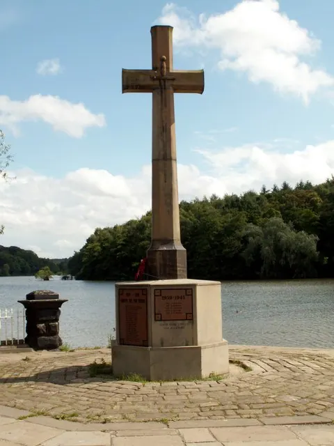
© John Fielding · Geograph · CC BY-SA 2.0
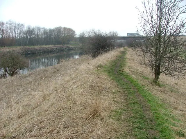
© Nigel Homer · Geograph · CC BY-SA 2.0
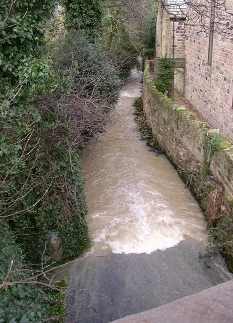
© Humphrey Bolton · Geograph · CC BY-SA 2.0
Images © their respective photographers, licensed under CC BY-SA 2.0 and reused here with attribution. Photographs depict listed buildings, churches and monuments near this settlement and may show neighbouring villages.
Data derived from the Open Domesday project (opendomesday.org), based on the Domesday Book dataset compiled by Professor J.J.N. Palmer and team. The Domesday Book (1086) is in the public domain.
Found an inaccuracy? [email protected]