Crich in the Domesday Book (1086)
The settlement of Crich is recorded in William I’s Domesday survey of 1086, entered under the hundred of Morleystone in Derbyshire.
Other Settlements in Morleystone
- Bradley
- Breadsall
- Breaston
- Cellesdene
- Chaddesden
- Codnor
- Denby
- Derby
- Draycott
- Duffield
- Hallam
- Heanor
- Herdebi
- Holbrook
The Meaning of the Name
The origin of the name Crich is not securely established from its modern form alone; like many settlement names in the North it likely combines an Old English or Old Norse personal name with a landscape term.
Remarkably, the name has changed little since 1086, when the Domesday scribes wrote it as Crich.
Listed Buildings Near Crich
Historic England records 25 listed buildings within about a mile of Crich. Listing protects structures of special architectural or historic interest, graded I (exceptional), II* (particularly important) and II.
Grade I
- Church of St Mary - 0.82 km
Grade II
- Park Head Farmhouse - 0.52 km
- 10 and 12, Bowns Hill - 0.56 km
- The Black Swan Public House and Attached L Shaped Range of Outbuildings to the North-east - 0.59 km
- The Mount - 0.59 km
- Village Cross to the North East of the Jovial Dutchman Public House - 0.6 km
- The Barns and Attached Outbuildings to the North and North East - 0.6 km
- The Mansion House and Outbuilding - 0.64 km
- Crich Baptist Chapel - 0.69 km
- Milepost 20 Metres South East of the Former Rising Sun Public House - 0.7 km
- Former Primitive Methodist Chapel - 0.72 km
- 12, 14 and 16, the Common - 0.73 km
- Honeymoon Cottage Sheaf Cottage Sheaf House - 0.76 km
- Tramway Bridge - 0.78 km
- Portal to Stephenson’s Tunnel, Crich - 0.79 km
- Crich Wesleyan Chapel and Attached Walls - 0.94 km
- Dial Farmhouse - 1.03 km
- Bower House - 1.1 km
- Metropolitan Police Box at the National Tramway Museum - 1.12 km
- Penfold Post Box at the National Tramway Museum - 1.14 km
- Facade of the Former Derby Assembly Rooms at the National Tramway Museum - 1.15 km
- K1 Telephone Box at the National Tramway Museum - 1.15 km
- Cliff Inn - 1.24 km
- Metropolitan Police Public Call Post at the National Tramway Museum - 1.25 km
…and 1 more listed structures in the area.
Scheduled Monuments Near Crich
Scheduled monuments are nationally important archaeological sites given legal protection. 1 lies within roughly a mile of Crich:
- Butterley Gangroad and Fritchley Tunnel - 0.94 km
Crich Today
Today Crich lies within the administrative area of Amber Valley, and the settlement recorded a population of 3,218 at the 2021 census. Nine and a half centuries separate that figure from the small rural community the Domesday survey recorded here in 1086.
Read more about modern Crich on Wikipedia .
Nearby Domesday Settlements
Other places recorded in the 1086 survey within a few miles:
- South? Wingfield - 2.2 km NE
- Shuckstone - 3.2 km N
- Pentrich - 3.6 km SE
- Wessington - 3.6 km NE
- Lea - 3.6 km NW
- Ufton - 4.5 km NE
Heritage Around Crich
Photographs of churches, listed buildings and monuments in the vicinity, contributed by volunteers to the Geograph project and reused here under a Creative Commons licence.
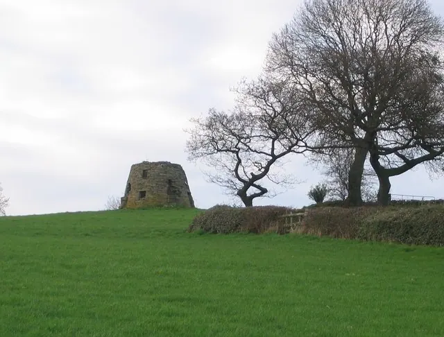
© Nikki Mahadevan · Geograph · CC BY-SA 2.0
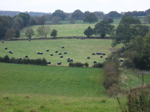
© Dave Banks · Geograph · CC BY-SA 2.0
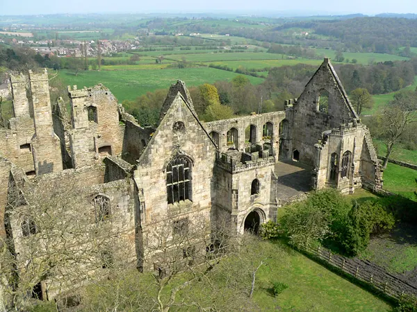
© Sam Styles · Geograph · CC BY-SA 2.0
Images © their respective photographers, licensed under CC BY-SA 2.0 and reused here with attribution. Photographs depict listed buildings, churches and monuments near this settlement and may show neighbouring villages.
Data derived from the Open Domesday project (opendomesday.org), based on the Domesday Book dataset compiled by Professor J.J.N. Palmer and team. The Domesday Book (1086) is in the public domain.
Found an inaccuracy? [email protected]