Crewe in the Domesday Book (1086)
Crewe appears in the Domesday Book of 1086, entered under the hundred of Warmundestrou in Cheshire.
Other Settlements in Warmundestrou
- Acton
- Aston
- Aston [juxta Mondrem]
- Audlem
- Austerson
- Baddiley
- Barthomley
- Basford
- Batherton
- Blakenhall
- Broomhall
- Buerton
- Cholmondeston
- Chorley
The Meaning of the Name
The origin of the name Crewe is not securely established from its modern form alone; like many settlement names in the North it likely combines an Old English or Old Norse personal name with a landscape term.
Remarkably, the name has changed little since 1086, when the Domesday scribes wrote it as Crewe.
Listed Buildings Near Crewe
Historic England records 25 listed buildings within about a mile of Crewe. Listing protects structures of special architectural or historic interest, graded I (exceptional), II* (particularly important) and II.
Grade II
- Christadelphian Hall - 0.12 km
- Tower of Christ Church - 0.15 km
- LNWR and LMS Crewe Tranship Shed War Memorial - 0.15 km
- 1-19, Dorfold Street - 0.2 km
- 2-20, Dorfold Street - 0.2 km
- 2-20, Betley Street - 0.23 km
- 1-19, Betley Street - 0.24 km
- 1-9, Tollitt Street - 0.27 km
- Crewe War Memorial - 0.28 km
- The Three Lamps - 0.32 km
- The Municipal Buildings - 0.33 km
- Crewe Drill Hall - 0.34 km
- The Market Hall - 0.35 km
- The Lyceum Theatre - 0.37 km
- Union Street Baptist Church and Attached Boundary Wall and Railings - 0.41 km
- 47, Delamere Street - 0.45 km
- 76-90A, Victoria Street - 0.47 km
- Church of St Mary - 0.48 km
- Church of St Peter - 0.58 km
- Caretakers House at the Ruskin School - 0.72 km
- Ruskin Road School - 0.73 km
- 1867 buildings at Crewe Railway Station - 0.86 km
- The Delaney Building at Crewe and Alsager College - 1.23 km
- Police Training College - 1.24 km
…and 1 more listed structures in the area.
Crewe Today
Today Crewe lies within the administrative area of Cheshire East, and the settlement recorded a population of 55,315 at the 2021 census. Nine and a half centuries separate that figure from the small rural community the Domesday survey recorded here in 1086.
Read more about modern Crewe on Wikipedia .
Nearby Domesday Settlements
Other places recorded in the 1086 survey within a few miles:
- Coppenhall - 2.0 km N
- Worleston - 2.2 km NW
- Wistaston - 2.8 km SW
- Basford - 3.2 km S
- Shavington - 4.1 km S
- Willaston - 4.2 km SW
Heritage Around Crewe
Photographs of churches, listed buildings and monuments in the vicinity, contributed by volunteers to the Geograph project and reused here under a Creative Commons licence.
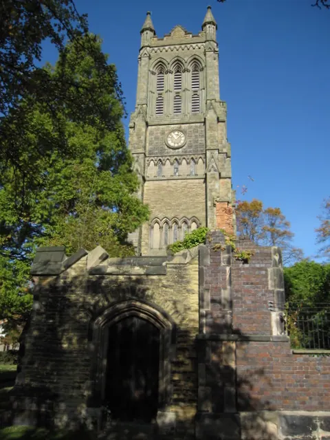
© John S Turner · Geograph · CC BY-SA 2.0
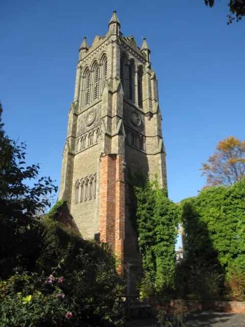
© John S Turner · Geograph · CC BY-SA 2.0
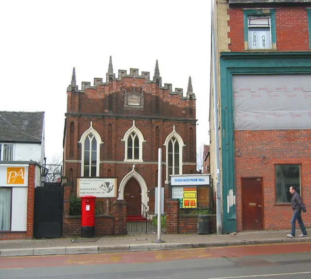
© Espresso Addict · Geograph · CC BY-SA 2.0
Images © their respective photographers, licensed under CC BY-SA 2.0 and reused here with attribution. Photographs depict listed buildings, churches and monuments near this settlement and may show neighbouring villages.
Data derived from the Open Domesday project (opendomesday.org), based on the Domesday Book dataset compiled by Professor J.J.N. Palmer and team. The Domesday Book (1086) is in the public domain.
Found an inaccuracy? [email protected]