Crayke in the Domesday Book (1086)
Crayke appears in the Domesday Book of 1086, entered under the hundred of Yarlestre in Yorkshire. The survey assessed Crayke at 12 carucates of taxable land.
The survey lists 2 manors at Crayke under different lords. Splitting a single settlement between multiple tenants was common across the North – Saxon estates broken up and handed to William’s followers after 1066.
Resources Recorded at Crayke (1086)
- Woodland: 2 * 2 None
Other Settlements in Yarlestre
- Arden [Hall]
- Asenby
- Bagby
- Baxby
- Bergebi
- Berghebi
- Bernebi
- Boltby
- Breckenbrough
- Carlton [Husthwaite]
- Carlton [Miniott]
- Catton
- Coxwold
- Crakehill
The Meaning of the Name
The origin of the name Crayke is not securely established from its modern form alone; like many settlement names in the North it likely combines an Old English or Old Norse personal name with a landscape term.
Remarkably, the name has changed little since 1086, when the Domesday scribes wrote it as Crayke.
Listed Buildings Near Crayke
Historic England records 26 listed buildings within about a mile of Crayke. Listing protects structures of special architectural or historic interest, graded I (exceptional), II* (particularly important) and II.
Grade II
- Ivy Cottage and the Old Cottage - 0.36 km
- Ivy Farmhouse - 0.37 km
- Numbers 1 and 2 Priest Cottages - 0.38 km
- Solway Cottage - 0.38 km
- Rose Cottage - 0.38 km
- The Homestead - 0.44 km
- Saddle Stones - 0.45 km
- The Little Homestead - 0.46 km
- Tudor Cottage - 0.47 km
- Weston Cottage - 0.47 km
- Sparling House and Hathaway Cottage - 0.47 km
- Danetree - 0.49 km
- April Cottage - 0.49 km
- Mrs Wellesley’s Cottage - 0.5 km
- Crayke Cottage - 0.51 km
- Gelder Cottage and Plum Tree Cottage - 0.52 km
- Bishops Cottage - 0.53 km
- White House - 0.54 km
- Crayke Hall - 0.54 km
- Church Farm - 0.55 km
- Town End Farmhouse and Adjoining Farm Building to South - 0.55 km
- Pinfold Opposite Town End Farm - 0.58 km
- Church of St Cuthbert - 0.59 km
- The Old Rectory - 0.64 km
…and 2 more listed structures in the area.
Scheduled Monuments Near Crayke
Scheduled monuments are nationally important archaeological sites given legal protection. 1 lies within roughly a mile of Crayke:
Crayke Today
Today Crayke lies within the administrative area of Hambleton, and the settlement recorded a population of 381 at the 2021 census. Nine and a half centuries separate that figure from the small rural community the Domesday survey recorded here in 1086.
Read more about modern Crayke on Wikipedia .
Nearby Domesday Settlements
Other places recorded in the 1086 survey within a few miles:
- Brandsby - 3.2 km E
- Stillington - 3.6 km SE
- Easingwold - 4.1 km W
- Inglethwaite - 4.1 km W
- Marton in the Forest - 4.5 km SE
- Iretone - 4.5 km NE
Heritage Around Crayke
Photographs of churches, listed buildings and monuments in the vicinity, contributed by volunteers to the Geograph project and reused here under a Creative Commons licence.
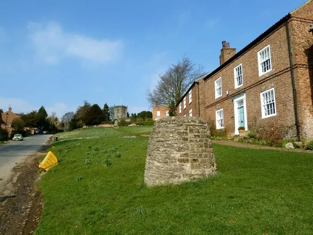
© Paul Buckingham · Geograph · CC BY-SA 2.0
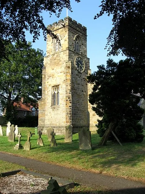
© Roger Gilbertson · Geograph · CC BY-SA 2.0
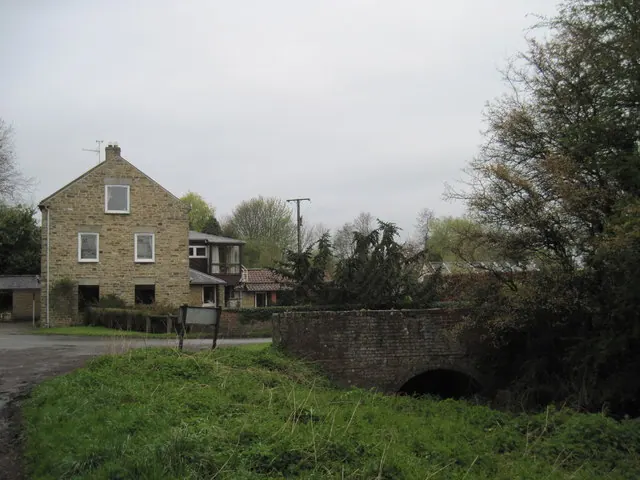
© Martin Dawes · Geograph · CC BY-SA 2.0
Images © their respective photographers, licensed under CC BY-SA 2.0 and reused here with attribution. Photographs depict listed buildings, churches and monuments near this settlement and may show neighbouring villages.
Data derived from the Open Domesday project (opendomesday.org), based on the Domesday Book dataset compiled by Professor J.J.N. Palmer and team. The Domesday Book (1086) is in the public domain.
Found an inaccuracy? [email protected]