Crathorne in the Domesday Book (1086)
The settlement of Crathorne is recorded in William I’s Domesday survey of 1086, entered under the hundred of Langbaurgh in Yorkshire.
Other Settlements in Langbaurgh
- Acklam
- Airy [Holme]
- Aislaby
- Arnodestorp
- Baldebi
- Barnaby
- Barwick
- Battersby
- Bergolbi
- Berguluesbi
- Blaten [Carr]
- Borrowby
- Breck
- Brotton
The Meaning of the Name
The origin of the name Crathorne is not securely established from its modern form alone; like many settlement names in the North it likely combines an Old English or Old Norse personal name with a landscape term.
Remarkably, the name has changed little since 1086, when the Domesday scribes wrote it as Crathorne.
Listed Buildings Near Crathorne
Historic England records 21 listed buildings within about a mile of Crathorne. Listing protects structures of special architectural or historic interest, graded I (exceptional), II* (particularly important) and II.
Grade II*
- Church of All Saints - 0.28 km
- Church of St Mary - 0.39 km
- Crathorne Hall, Gate Piers and Forecourt Walls - 0.98 km
Grade II
- Crathorne Mill House - 0.05 km
- Old Hall Cottages - 0.31 km
- The Rectory - 0.32 km
- Outbuilding to North West of Church of All Saints - 0.34 km
- Chapel House and Outbuildings to North - 0.37 km
- Old School Cottage Old School Farm - 0.37 km
- The Old School (South of Crathorne Reading Room) - 0.38 km
- War Memorial - 0.4 km
- Town End Farmhouse - 0.47 km
- Park House - 0.5 km
- Plum Tree Cottage and Cottage to South - 0.51 km
- Village School - 0.54 km
- The Crathorne Arms Public House and Outbuilding Adjoining to South - 0.55 km
- Lodge Gate Piers and Wall to the South West of Crathorne Hall - 0.76 km
- Five Houses Farmhouse Barn Wing - 0.97 km
- Barn to East of Manor House Farmhouse - 1.05 km
- Manor House Farmhouse - 1.06 km
- Stable Building to North West of Crathorne Hall - 1.1 km
Crathorne Today
Today Crathorne lies within the administrative area of North Yorkshire, and the settlement recorded a population of 157 at the 2021 census. Nine and a half centuries separate that figure from the small rural community the Domesday survey recorded here in 1086.
Read more about modern Crathorne on Wikipedia .
Nearby Domesday Settlements
Other places recorded in the 1086 survey within a few miles:
- Foxton - 1.4 km NE
- Hutton Rudby - 2.2 km SE
- Kirk Leavington - 2.2 km NW
- Middleton upon Leven - 2.8 km NE
- Rudby - 3.2 km E
- Castle Leavington - 3.6 km NE
Heritage Around Crathorne
Photographs of churches, listed buildings and monuments in the vicinity, contributed by volunteers to the Geograph project and reused here under a Creative Commons licence.
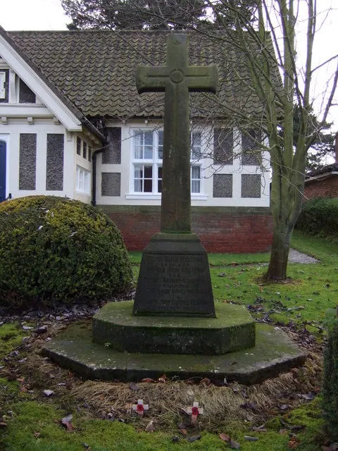
© JThomas · Geograph · CC BY-SA 2.0
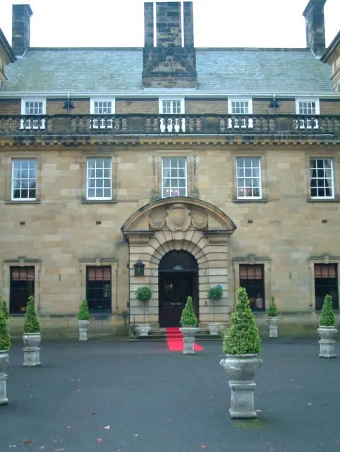
© Elaine Morgan · Geograph · CC BY-SA 2.0
© Stanley Howe · Geograph · CC BY-SA 2.0
Images © their respective photographers, licensed under CC BY-SA 2.0 and reused here with attribution. Photographs depict listed buildings, churches and monuments near this settlement and may show neighbouring villages.
Data derived from the Open Domesday project (opendomesday.org), based on the Domesday Book dataset compiled by Professor J.J.N. Palmer and team. The Domesday Book (1086) is in the public domain.
Found an inaccuracy? [email protected]