Cowthwaite in the Domesday Book (1086)
The 1086 Domesday survey records the settlement of Cowthwaite, entered under the hundred of Skyrack in Yorkshire.
Other Settlements in Skyrack
- Adel
- Allerton [Bywater]
- Alwoodley
- Arthington
- Austhorpe
- Baildon
- Bardsey
- Barwick [in Elmet]
- Bichertun
- Bicherun
- Bingley
- Birkby [Hill]
- Bramhope
- Burden [Head]
The Meaning of the Name
The name Cowthwaite is of Scandinavian origin. Its final element derives from the Old Norse word þveit, a clearing or meadow. The first element is most likely a personal name or an early descriptive term, now difficult to recover with certainty. Taken together the name probably meant something close to ‘a clearing’.
Names of this type are a fingerprint of Scandinavian settlement: they cluster across the old Danelaw, where Norse-speaking settlers renamed or founded villages from the late 9th century onward.
Remarkably, the name has changed little since 1086, when the Domesday scribes wrote it as Cowthwaite.
Listed Buildings Near Cowthwaite
Historic England records 3 listed buildings within about a mile of Cowthwaite. Listing protects structures of special architectural or historic interest, graded I (exceptional), II* (particularly important) and II.
Grade II
- Crossroads Farmhouse - 0.98 km
- Becca Hall (House Only) at Se419387 - 0.99 km
- Milepost at Se415398 - 1.07 km
Scheduled Monuments Near Cowthwaite
Scheduled monuments are nationally important archaeological sites given legal protection. 2 lie within roughly a mile of Cowthwaite:
- Roman road near Hazelwood Castle - 1.16 km
- Length of linear earthworks known as Becca Banks and The Ridge, part of the Aberford Dyke system, between Aberford and a quarry 590m north of Ass Bridge - 1.59 km
Nearby Domesday Settlements
Other places recorded in the 1086 survey within a few miles:
- Monk Hay Stile - 1.4 km NW
- Hazelwood Castle - 2.0 km E
- Potterton - 2.2 km SW
- Kiddal Hall - 3.0 km W
- Bramham - 3.0 km N
- Parlington - 3.0 km S
Heritage Around Cowthwaite
Photographs of churches, listed buildings and monuments in the vicinity, contributed by volunteers to the Geograph project and reused here under a Creative Commons licence.
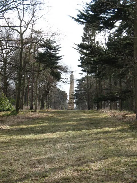
© Gordon Hatton · Geograph · CC BY-SA 2.0
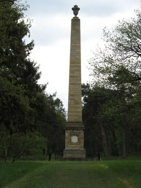
© Paul Brooker · Geograph · CC BY-SA 2.0
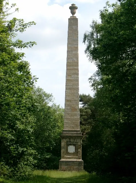
© John Davidson · Geograph · CC BY-SA 2.0
Images © their respective photographers, licensed under CC BY-SA 2.0 and reused here with attribution. Photographs depict listed buildings, churches and monuments near this settlement and may show neighbouring villages.
Data derived from the Open Domesday project (opendomesday.org), based on the Domesday Book dataset compiled by Professor J.J.N. Palmer and team. The Domesday Book (1086) is in the public domain.
Found an inaccuracy? [email protected]