Cowthorpe in the Domesday Book (1086)
The settlement of Cowthorpe is recorded in William I’s Domesday survey of 1086, entered under the hundred of Burghshire in Yorkshire. The survey assessed Cowthorpe at 10 carucates of taxable land.
At the time of the survey, Cowthorpe supported a recorded population of 11 villagers, 6 smallholders, working 8 ploughs between them.
The valuation dropped between 1066 and 1086. Before 1066, Cowthorpe was worth 16 shillings; by 1086 that had dropped to 14 shillings – a fall of 12%. Most Yorkshire villages that lost value on this scale were swept up in the Harrying of the North – William’s scorched-earth campaign of 1069–70.
Resources Recorded at Cowthorpe (1086)
- Meadow: 200 acres
Other Settlements in Burghshire
- Addlethorpe
- Aismunderby
- Aldfield
- Allerton [Mauleverer]
- Arkendale
- Askwith
- Azerley
- Barrowby [Grange]
- Beckwith [House]
- Besthaim
- Bestham
- Bewerley
- Bilton
- Birstwith
The Meaning of the Name
The name Cowthorpe is of Scandinavian origin. Its final element derives from the Old Norse word þorp, an outlying or secondary farmstead. The first element is most likely a personal name or an early descriptive term, now difficult to recover with certainty. Taken together the name probably meant something close to ‘a outlying farm’.
Names of this type are a fingerprint of Scandinavian settlement: they cluster across the old Danelaw, where Norse-speaking settlers renamed or founded villages from the late 9th century onward.
Remarkably, the name has changed little since 1086, when the Domesday scribes wrote it as Cowthorpe.
Listed Buildings Near Cowthorpe
Historic England records 7 listed buildings within about a mile of Cowthorpe. Listing protects structures of special architectural or historic interest, graded I (exceptional), II* (particularly important) and II.
Grade I
- Church of St Michael - 0.24 km
Grade II
- Cowthorpe Hall Farmhouse - 0.32 km
- The Corn Mill on North Bank of the River Nidd - 0.62 km
- Pigeon House - 0.89 km
- Lychgate to Church of St John the Baptist - 1.09 km
- Rose Cottage - 1.11 km
- Church of St John the Baptist - 1.13 km
Scheduled Monuments Near Cowthorpe
Scheduled monuments are nationally important archaeological sites given legal protection. 1 lies within roughly a mile of Cowthorpe:
Cowthorpe Today
Today Cowthorpe lies within the administrative area of Tockwith.
Read more about modern Cowthorpe on Wikipedia .
Nearby Domesday Settlements
Other places recorded in the 1086 survey within a few miles:
- Hunsingore - 1.0 km N
- Ingmanthorpe Hall - 2.0 km S
- Kirk and North Deighton - 3.2 km W
- Cattal - 3.6 km NE
- Old Thornville Hall - 3.6 km NE
- Bickerton - 3.6 km SE
Heritage Around Cowthorpe
Photographs of churches, listed buildings and monuments in the vicinity, contributed by volunteers to the Geograph project and reused here under a Creative Commons licence.
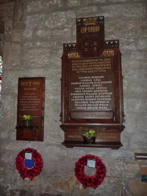
© Alexander P Kapp · Geograph · CC BY-SA 2.0
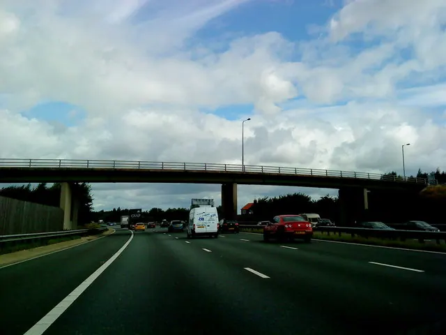
© Andrew Abbott · Geograph · CC BY-SA 2.0
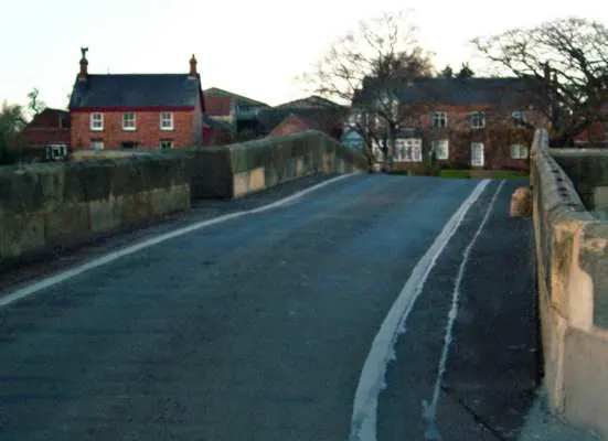
© Toby Speight · Geograph · CC BY-SA 2.0
Images © their respective photographers, licensed under CC BY-SA 2.0 and reused here with attribution. Photographs depict listed buildings, churches and monuments near this settlement and may show neighbouring villages.
Data derived from the Open Domesday project (opendomesday.org), based on the Domesday Book dataset compiled by Professor J.J.N. Palmer and team. The Domesday Book (1086) is in the public domain.
Found an inaccuracy? [email protected]