Cowling in the Domesday Book (1086)
The 1086 Domesday survey records the settlement of Cowling, entered under the hundred of Craven in Yorkshire.
Other Settlements in Craven
- Addingham
- Airton
- Anley
- Appletreewick
- Arncliffe
- Arnford
- Barnoldswick
- Bashall [Eaves]
- Battersby [Barn]
- Beamsley
- Birkby [Hall]
- Bogeuurde
- Bolton [Abbey]
- Bolton [by Bowland]
The Meaning of the Name
The origin of the name Cowling is not securely established from its modern form alone; like many settlement names in the North it likely combines an Old English or Old Norse personal name with a landscape term.
Remarkably, the name has changed little since 1086, when the Domesday scribes wrote it as Cowling.
Listed Buildings Near Cowling
Historic England records 20 listed buildings within about a mile of Cowling. Listing protects structures of special architectural or historic interest, graded I (exceptional), II* (particularly important) and II.
Grade II*
- Long Croft and Attached Barn - 0.59 km
- Carr Head Hall - 1.21 km
Grade II
- Bank View and Rockwood - 0.24 km
- Thornesfield Farmhouse and Attached Barn - 0.34 km
- Church of Holy Trinity - 0.43 km
- Town End Farmhouse - 0.47 km
- The Old Vicarage and Attached Hall - 0.48 km
- The Stubbings - 0.63 km
- Lower Windmill Farmhouse - 0.8 km
- Gamsgill - 0.89 km
- Barns 50 M North of Lower Summer House - 0.92 km
- Milestone Near Hey Farm at Ngr 958428 - 0.95 km
- Lower Summer House - 0.96 km
- Former Inn Building, Now Outbuilding to Stott Fold Farm - 0.98 km
- Chapel House - 0.98 km
- Stott Fold Farmhouse - 1.02 km
- Summerhouse in Garden 100 M West of Carr Head Hall - 1.13 km
- The Coachhouse at Carr Head Hall - 1.16 km
- Lime Kiln, Wainmans Bottom, in Front of Carr Head - 1.21 km
- Over House Farmhouse - 1.27 km
Cowling Today
Today Cowling lies within the administrative area of Craven, and the settlement recorded a population of 2,464 at the 2021 census. Nine and a half centuries separate that figure from the small rural community the Domesday survey recorded here in 1086.
Read more about modern Cowling on Wikipedia .
Nearby Domesday Settlements
Other places recorded in the 1086 survey within a few miles:
Heritage Around Cowling
Photographs of churches, listed buildings and monuments in the vicinity, contributed by volunteers to the Geograph project and reused here under a Creative Commons licence.
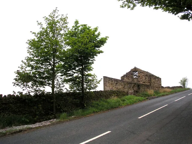
© Dr Neil Clifton · Geograph · CC BY-SA 2.0
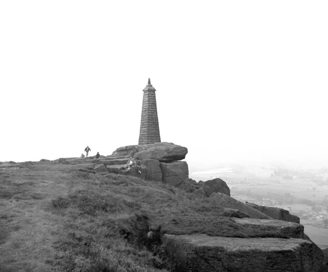
© Dr Neil Clifton · Geograph · CC BY-SA 2.0
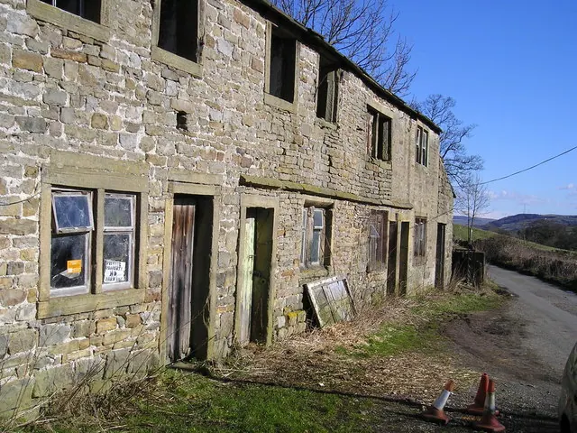
© Richard Swales · Geograph · CC BY-SA 2.0
Images © their respective photographers, licensed under CC BY-SA 2.0 and reused here with attribution. Photographs depict listed buildings, churches and monuments near this settlement and may show neighbouring villages.
Data derived from the Open Domesday project (opendomesday.org), based on the Domesday Book dataset compiled by Professor J.J.N. Palmer and team. The Domesday Book (1086) is in the public domain.
Found an inaccuracy? [email protected]