Cowley in the Domesday Book (1086)
The settlement of Cowley is recorded in William I’s Domesday survey of 1086, entered under the hundred of Hamston in Derbyshire.
Other Settlements in Hamston
- Alsop [-en-le-Dale]
- Ashbourne
- Atlow
- Ballidon
- Bonsall
- Bradbourne
- Brassington
- Broadlowash
- Callow
- Carsington
- Cromford
- Elton
- Hanson [Grange]
- Hartington
The Meaning of the Name
The name Cowley is of Anglo-Saxon origin. Its final element derives from the Old English word lēah, a woodland clearing or glade. The first element is most likely a personal name or an early descriptive term, now difficult to recover with certainty. Taken together the name probably meant something close to ‘a clearing’.
Remarkably, the name has changed little since 1086, when the Domesday scribes wrote it as Cowley.
Listed Buildings Near Cowley
Historic England records 20 listed buildings within about a mile of Cowley. Listing protects structures of special architectural or historic interest, graded I (exceptional), II* (particularly important) and II.
Grade II*
- Parish Church of St Helen - 0.53 km
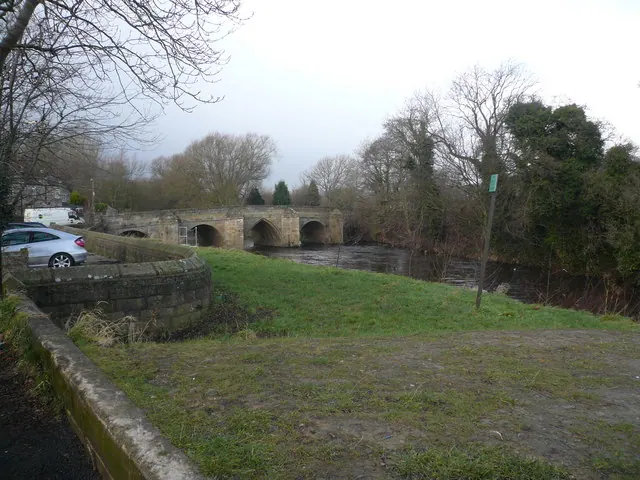
- Darley Bridge (Over River Derwent) - 0.59 km
Grade II
- Outbuilding of Rectory - 0.52 km
- White House - 0.55 km
- Square and Compass Public House - 0.55 km
- Potters Cottage - 0.6 km
- Three Stags Heads Public House - 0.62 km
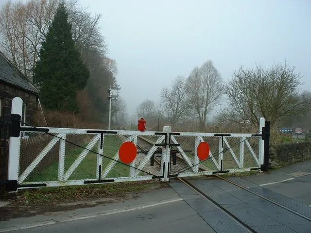
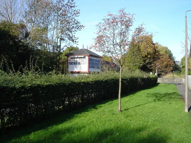
- Darley Dale Station - 0.65 km
- Darley Dale Station (Building on North Platform) - 0.67 km
- Darley Station Houses - 0.71 km
- Former Powder House at N R Sk 256623 - 0.91 km
- Whitworth Institute - 0.97 km
- Grouse Inn - 0.98 km
- Church of St Mary - 0.98 km
- Whitworth Hotel - 0.98 km
- Mile Post 4 Miles From Matlock - 1.03 km
- West Lodge - 1.09 km
- Boundary Walls to Former Whitworth Estate - 1.13 km
- Sabine Hay - 1.14 km
- Darley Hall (Maternity Home) - 1.24 km
Scheduled Monuments Near Cowley
Scheduled monuments are nationally important archaeological sites given legal protection. 3 lie within roughly a mile of Cowley:
- Darley Bridge - 0.6 km
- Old Millclose engine house and associated features, 570m south west of Cowley Hall - 1.03 km
- Hillcarr Sough and associated lime kiln and paved track - 1.47 km
Nearby Domesday Settlements
Other places recorded in the 1086 survey within a few miles:
Heritage Around Cowley
Photographs of churches, listed buildings and monuments in the vicinity, contributed by volunteers to the Geograph project and reused here under a Creative Commons licence.
© Alan Heardman · Geograph · CC BY-SA 2.0
© John M · Geograph · CC BY-SA 2.0
© Roger McLachlan · Geograph · CC BY-SA 2.0
Images © their respective photographers, licensed under CC BY-SA 2.0 and reused here with attribution. Photographs depict listed buildings, churches and monuments near this settlement and may show neighbouring villages.
Data derived from the Open Domesday project (opendomesday.org), based on the Domesday Book dataset compiled by Professor J.J.N. Palmer and team. The Domesday Book (1086) is in the public domain.
Found an inaccuracy? [email protected]