Coverham in the Domesday Book (1086)
The 1086 Domesday survey records the settlement of Coverham, entered under the hundred of Land of Count Alan in Yorkshire.
Other Settlements in Land of Count Alan
- Achebi
- Agglethorpe
- Ainderby [Mires]
- Ainderby [Quernhow]
- Aiskew
- Aldbrough
- Allerthorpe [Hall]
- Ascam
- Ascham
- Asebi
- Aske [Hall]
- Askrigg
- Aysgarth
- Baldersby
The Meaning of the Name
The name Coverham is of Anglo-Saxon origin. Its final element derives from the Old English word hām, a homestead or village. The first element is most likely a personal name or an early descriptive term, now difficult to recover with certainty. Taken together the name probably meant something close to ‘a homestead’.
Remarkably, the name has changed little since 1086, when the Domesday scribes wrote it as Coverham.
Listed Buildings Near Coverham
Historic England records 14 listed buildings within about a mile of Coverham. Listing protects structures of special architectural or historic interest, graded I (exceptional), II* (particularly important) and II.
Grade I
- Coverham Abbey Ruins - 0.07 km
Grade II*
- Garth Cottage - 0.1 km
- Stone Effigies of Knights Approximately 7 Metres East of Coverham Abbey House - 0.11 km
- Coverham Abbey Gatehouse - 0.2 km
- Church of Holy Trinity - 0.23 km
- Coverham Bridge - 0.31 km
Grade II
- Abbey Cottage - 0.09 km
- Outbuilding to East of Coverham Abbey House - 0.1 km
- Coverham Abbey House - 0.11 km
- Gate and Gate Piers Approximately 8 Metres East of Coverham Abbey House - 0.12 km
- Garden Wall With Archway Approximately 10 Metres East of Coverham Abbey House - 0.13 km
- Gate and Gate Piers Approximately 200 Metres West of Coverham Abbey House - 0.18 km
- Cotescue Park House With Cottage Attached at Rear - 0.41 km
- Boundary Stone - 0.75 km
Scheduled Monuments Near Coverham
Scheduled monuments are nationally important archaeological sites given legal protection. 2 lie within roughly a mile of Coverham:
- Coverham Abbey Premonstratensian monastery and precinct including Holy Trinity Church and medieval bridge - 0.11 km
- Castle Steads slight univallate hillfort - 1.15 km
Coverham Today
Today Coverham lies within the administrative area of Coverham with Agglethorpe.
Read more about modern Coverham on Wikipedia .
Nearby Domesday Settlements
Other places recorded in the 1086 survey within a few miles:
Heritage Around Coverham
Photographs of churches, listed buildings and monuments in the vicinity, contributed by volunteers to the Geograph project and reused here under a Creative Commons licence.
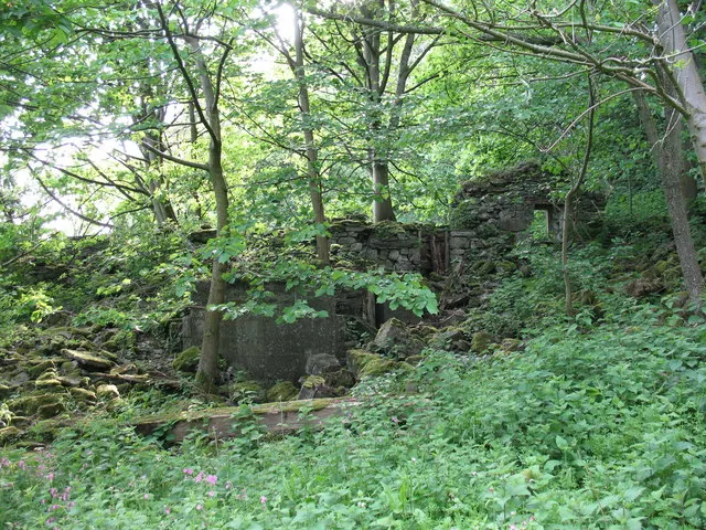
© Gordon Hatton · Geograph · CC BY-SA 2.0
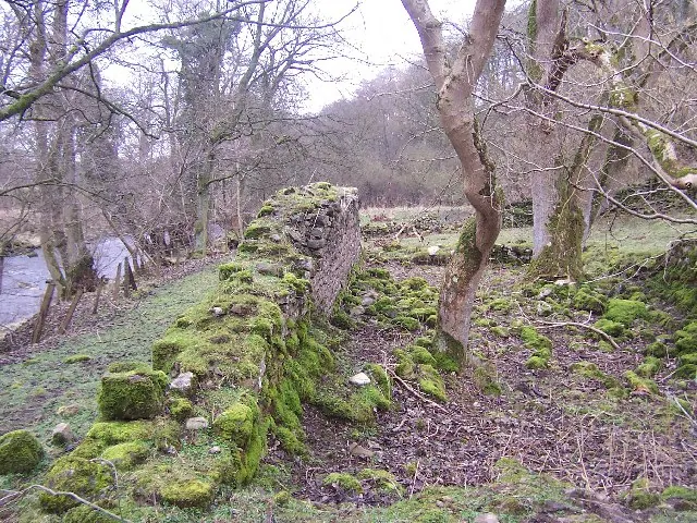
© Chris Heaton · Geograph · CC BY-SA 2.0
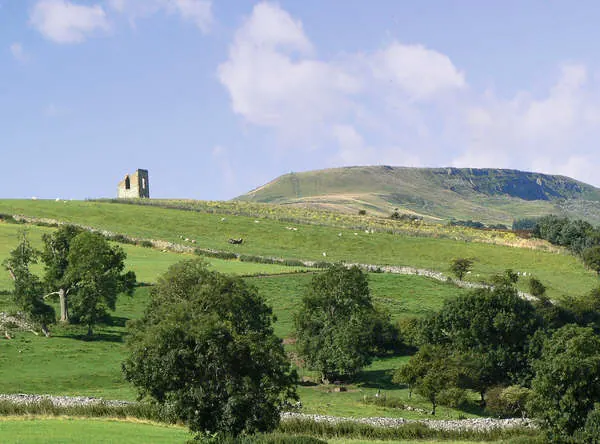
© Anthony Harrison · Geograph · CC BY-SA 2.0
Images © their respective photographers, licensed under CC BY-SA 2.0 and reused here with attribution. Photographs depict listed buildings, churches and monuments near this settlement and may show neighbouring villages.
Location
54.2739°N, -1.8387°W · Land of Count Alan hundred, Yorkshire
View larger map on OpenStreetMap →Data derived from the Open Domesday project (opendomesday.org), based on the Domesday Book dataset compiled by Professor J.J.N. Palmer and team. The Domesday Book (1086) is in the public domain.
Found an inaccuracy? [email protected]