Cottingley in the Domesday Book (1086)
The 1086 Domesday survey records the settlement of Cottingley, entered under the hundred of Skyrack in Yorkshire.
Other Settlements in Skyrack
- Adel
- Allerton [Bywater]
- Alwoodley
- Arthington
- Austhorpe
- Baildon
- Bardsey
- Barwick [in Elmet]
- Bichertun
- Bicherun
- Bingley
- Birkby [Hill]
- Bramhope
- Burden [Head]
The Meaning of the Name
The name Cottingley is of Anglo-Saxon origin. Its final element derives from the Old English word lēah, a woodland clearing or glade. The first element is most likely a personal name or an early descriptive term, now difficult to recover with certainty. Taken together the name probably meant something close to ‘a clearing’.
Remarkably, the name has changed little since 1086, when the Domesday scribes wrote it as Cottingley.
Listed Buildings Near Cottingley
Historic England records 14 listed buildings within about a mile of Cottingley. Listing protects structures of special architectural or historic interest, graded I (exceptional), II* (particularly important) and II.
Grade II*
- Leeds and Liverpool Canal Two Rise Locks With Overflow Channel Dowley Gap - 0.92 km
- Barn Immediately East of New Close Farmhouse - 0.92 km
Grade II
- Tan House Farmhouse - 0.53 km
- Manor Farmhouse and Manor Farm Barn - 0.56 km
- Cottingley Bridge House - 0.58 km
- Town Hall - 0.59 km
- New Close Farmhouse - 0.92 km
- Leeds and Liverpool Canal Dowley Gap Bridge (Number 206) - 0.94 km
- Leeds and Liverpool Canal Scourer Bridge (Number 205) - 0.94 km
- Leeds and Liverpool Canal, Dowley Gap Aqueduct - 1.01 km
- Barn Approximately 10 Metres South East of Stock-a-close Farmhouse - 1.04 km
- Stock-a-close Farmhouse - 1.04 km
- White Lodge and White Lodge West - 1.09 km
- March Cote Farmhouse - 1.23 km
Scheduled Monuments Near Cottingley
Scheduled monuments are nationally important archaeological sites given legal protection. 1 lies within roughly a mile of Cottingley:
- Late prehistoric enclosed settlement in Crosley Wood, Bingley, 185m north of Scourer Bridge - 1.12 km
Cottingley Today
Today Cottingley lies within the administrative area of Bingley.
Read more about modern Cottingley on Wikipedia .
Nearby Domesday Settlements
Other places recorded in the 1086 survey within a few miles:
Heritage Around Cottingley
Photographs of churches, listed buildings and monuments in the vicinity, contributed by volunteers to the Geograph project and reused here under a Creative Commons licence.
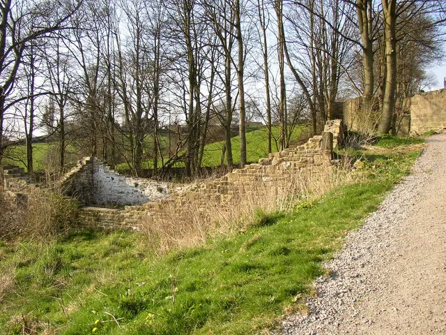
© Humphrey Bolton · Geograph · CC BY-SA 2.0
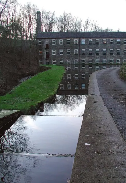
© Paul Glazzard · Geograph · CC BY-SA 2.0
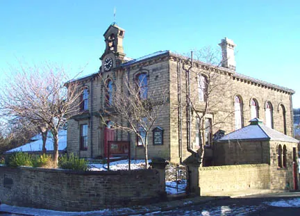
© Margaret Krupa · Geograph · CC BY-SA 2.0
Images © their respective photographers, licensed under CC BY-SA 2.0 and reused here with attribution. Photographs depict listed buildings, churches and monuments near this settlement and may show neighbouring villages.
Data derived from the Open Domesday project (opendomesday.org), based on the Domesday Book dataset compiled by Professor J.J.N. Palmer and team. The Domesday Book (1086) is in the public domain.
Found an inaccuracy? [email protected]