Cottingham in the Domesday Book (1086)
The 1086 Domesday survey records the settlement of Cottingham, entered under the hundred of Welton in Yorkshire.
Other Settlements in Welton
- Bentley
- Brantingham
- Brantingham [Thorpe]
- Ellerker
- Elloughton
- Lund
- Pillwoods [Farm]
- Risby
- Skidby
- Toschetorp
- Walkington
- Wauldby
- Welton
- [Little] Weighton
The Meaning of the Name
The name Cottingham is of Anglo-Saxon origin. Its final element derives from the Old English word hām, a homestead or village. The first element is most likely a personal name or an early descriptive term, now difficult to recover with certainty. Taken together the name probably meant something close to ‘a homestead’.
Remarkably, the name has changed little since 1086, when the Domesday scribes wrote it as Cottingham.
Listed Buildings Near Cottingham
Historic England records 30 listed buildings within about a mile of Cottingham. Listing protects structures of special architectural or historic interest, graded I (exceptional), II* (particularly important) and II.
Grade I
- Church of Saint Mary - 0.49 km
Grade II*
- Zion United Reform Church - 0.46 km
Grade II
- Newgate House and Gate Piers - 0.27 km
- 22, South Street - 0.29 km
- Elmtree House - 0.32 km
- Eastgate House - 0.35 km
- Stable and Coach House at Eastgate House - 0.36 km
- 7, 8 and 9, Market Green - 0.38 km
- Snuff Mill House and Railings - 0.39 km
- Arlington Hall - 0.43 km
- Church House - 0.43 km
- 28, Beck Bank - 0.44 km
- 24 and 26, Beck Bank - 0.44 km
- Mark Kirby’s Free School - 0.44 km
- The Manse - 0.47 km
- Railway Station - 0.63 km
- The White House - 0.64 km
- Station-master’s House - 0.64 km
- 188, King Street - 0.65 km
- Coach House and Stable at Number 270 - 0.66 km
- Goods Shed at Cottingham Station - 0.68 km
- Green Wickets and Gates and Railings - 0.69 km
- Beech House - 0.69 km
- 100 and 102, Thwaite Street - 0.7 km
…and 6 more listed structures in the area.
Scheduled Monuments Near Cottingham
Scheduled monuments are nationally important archaeological sites given legal protection. 2 lie within roughly a mile of Cottingham:
- Baynard Castle - 0.77 km
- Haltemprice Augustinian priory - 1.5 km
Cottingham Today
Today Cottingham lies within the administrative area of East Riding of Yorkshire, and the settlement recorded a population of 16,947 at the 2021 census. Nine and a half centuries separate that figure from the small rural community the Domesday survey recorded here in 1086.
Read more about modern Cottingham on Wikipedia .
Nearby Domesday Settlements
Other places recorded in the 1086 survey within a few miles:
Heritage Around Cottingham
Photographs of churches, listed buildings and monuments in the vicinity, contributed by volunteers to the Geograph project and reused here under a Creative Commons licence.
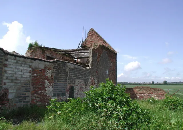
© Paul Glazzard · Geograph · CC BY-SA 2.0
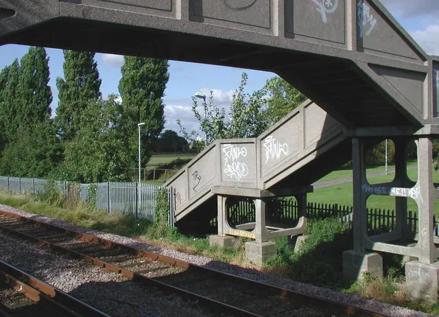
© Paul Glazzard · Geograph · CC BY-SA 2.0
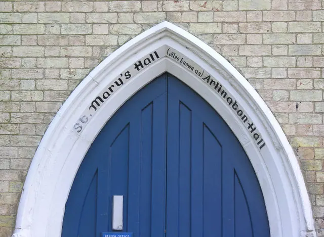
© George Robinson · Geograph · CC BY-SA 2.0
Images © their respective photographers, licensed under CC BY-SA 2.0 and reused here with attribution. Photographs depict listed buildings, churches and monuments near this settlement and may show neighbouring villages.
Data derived from the Open Domesday project (opendomesday.org), based on the Domesday Book dataset compiled by Professor J.J.N. Palmer and team. The Domesday Book (1086) is in the public domain.
Found an inaccuracy? [email protected]