Cotness Hall in the Domesday Book (1086)
Cotness Hall appears in the Domesday Book of 1086, entered under the hundred of Howden in Yorkshire.
Other Settlements in Howden
- Asselby
- Babthorpe
- Barlby
- Barmby [on the Marsh]
- Barnhill [Hall]
- Belby [House]
- Bowthorpe
- Brackenholme
- Burland [House]
- Cavil
- Cliffe
- Eastrington
- Hagthorpe
- Hemingbrough
The Meaning of the Name
The name Cotness Hall is of Scandinavian origin. Its final element derives from the Old Norse word nes, a headland or promontory. The first element is most likely a personal name or an early descriptive term, now difficult to recover with certainty. Taken together the name probably meant something close to ‘a headland’.
Names of this type are a fingerprint of Scandinavian settlement: they cluster across the old Danelaw, where Norse-speaking settlers renamed or founded villages from the late 9th century onward.
Remarkably, the name has changed little since 1086, when the Domesday scribes wrote it as Cotness Hall.
Listed Buildings Near Cotness Hall
Historic England records 7 listed buildings within about a mile of Cotness Hall. Listing protects structures of special architectural or historic interest, graded I (exceptional), II* (particularly important) and II.
Grade II
- Cotness Hall - 0.48 km
- Remains of Old Church - 1.04 km
- Church Farm and Attached Outbuildings - 1.1 km
- Reedness Hall - 1.24 km
- Hall Farmhouse - 1.25 km
- Elmtree House - 1.28 km
- The Fernery Farmhouse - 1.29 km
Scheduled Monuments Near Cotness Hall
Scheduled monuments are nationally important archaeological sites given legal protection. 1 lies within roughly a mile of Cotness Hall:
- Moated site at Metham Hall Farm - 1.24 km
Cotness Hall Today
Today Cotness Hall lies within the administrative area of Laxton.
Read more about modern Cotness on Wikipedia .
Nearby Domesday Settlements
Other places recorded in the 1086 survey within a few miles:
- Saltmarshe - 1.0 km W
- Laxton - 1.0 km N
- Kilpin - 2.8 km NW
- Yokefleet - 3.0 km E
- Skelton - 3.2 km W
- Eastrington - 5.0 km N
Heritage Around Cotness [Hall]
Photographs of churches, listed buildings and monuments in the vicinity, contributed by volunteers to the Geograph project and reused here under a Creative Commons licence.
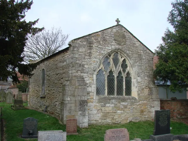
© Bill Henderson · Geograph · CC BY-SA 2.0
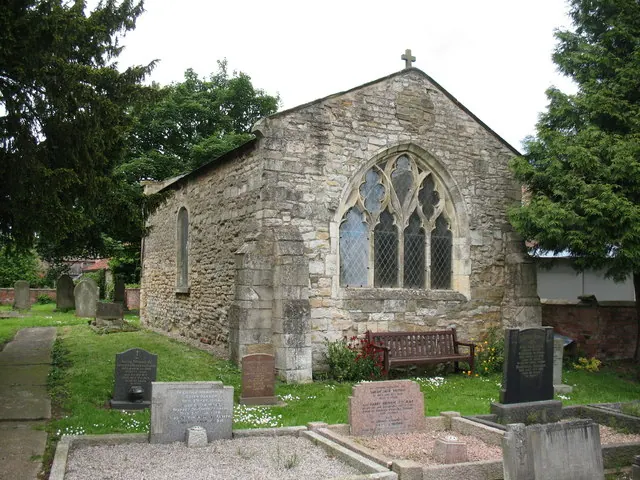
© Gordon Hatton · Geograph · CC BY-SA 2.0
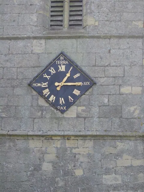
© Heather Holdridge · Geograph · CC BY-SA 2.0
Images © their respective photographers, licensed under CC BY-SA 2.0 and reused here with attribution. Photographs depict listed buildings, churches and monuments near this settlement and may show neighbouring villages.
Data derived from the Open Domesday project (opendomesday.org), based on the Domesday Book dataset compiled by Professor J.J.N. Palmer and team. The Domesday Book (1086) is in the public domain.
Found an inaccuracy? [email protected]