Cotherstone in the Domesday Book (1086)
Cotherstone is named in the Domesday Book, compiled by Norman commissioners in 1086, entered under the hundred of Land of Count Alan in Yorkshire.
Other Settlements in Land of Count Alan
- Achebi
- Agglethorpe
- Ainderby [Mires]
- Ainderby [Quernhow]
- Aiskew
- Aldbrough
- Allerthorpe [Hall]
- Ascam
- Ascham
- Asebi
- Aske [Hall]
- Askrigg
- Aysgarth
- Baldersby
The Meaning of the Name
The origin of the name Cotherstone is not securely established from its modern form alone; like many settlement names in the North it likely combines an Old English or Old Norse personal name with a landscape term.
Remarkably, the name has changed little since 1086, when the Domesday scribes wrote it as Cotherstone.
Listed Buildings Near Cotherstone
Historic England records 19 listed buildings within about a mile of Cotherstone. Listing protects structures of special architectural or historic interest, graded I (exceptional), II* (particularly important) and II.
Grade II*
- Balder Bridge - 0.88 km
- Doe Park - 1.27 km
Grade II
- Cotherstone Friends Meeting House - 0.03 km
- The Green and Front Garden Wall - 0.24 km
- Elwy Cottage and Laburnum Cottage and Branton Cottage and Garden Walls - 0.25 km
- Brook Lea House (Shown on Os Map As Brook House) - 0.25 km
- The Manor House - 0.27 km
- Brook House - 0.32 km
- Red Lion Inn and Red Lion Cottage - 0.43 km
- Weatherby House and Wall and Doorway to Right - 0.44 km
- Gilmour House, Former Byre and Barn - 0.52 km
- Hallgarth Hill House - 0.53 km
- Fox Hall - 0.53 km
- Woodvine Cottages - 0.6 km
- Saltoun House - 0.69 km
- Lodge, Gate Piers and Gate, 110 Metres East of Lancelands - 0.72 km
- Summerhouse and Attached Garden Wall, 30 Metres North East of Hagg House - 0.73 km
- Low Shipley Farmhouse - 0.82 km
- Doe Park Cross Base, 170 Metres East of Doe Park - 1.16 km
Scheduled Monuments Near Cotherstone
Scheduled monuments are nationally important archaeological sites given legal protection. 3 lie within roughly a mile of Cotherstone:
- Cotherstone Castle - 0.56 km
- Prehistoric defended settlement 500m north west of West Holme House - 0.85 km
- The Christening Stone, 160m east of Doe Park - 1.16 km
Cotherstone Today
Today Cotherstone lies within the administrative area of County Durham, and the settlement recorded a population of 554 at the 2021 census. Nine and a half centuries separate that figure from the small rural community the Domesday survey recorded here in 1086.
Read more about modern Cotherstone on Wikipedia .
Nearby Domesday Settlements
Other places recorded in the 1086 survey within a few miles:
- Lartington - 2.2 km SE
- Hunderthwaite - 3.6 km NW
- Romaldkirk - 3.6 km NW
- Startforth - 5.0 km SE
- Mickleton - 6.4 km NW
- Egglestone Abbey - 6.4 km SE
Heritage Around Cotherstone
Photographs of churches, listed buildings and monuments in the vicinity, contributed by volunteers to the Geograph project and reused here under a Creative Commons licence.
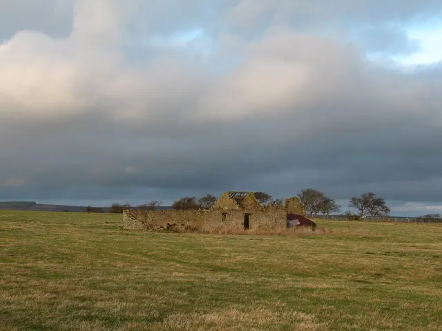
© Gordon Hatton · Geograph · CC BY-SA 2.0
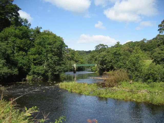
© Chris Heaton · Geograph · CC BY-SA 2.0
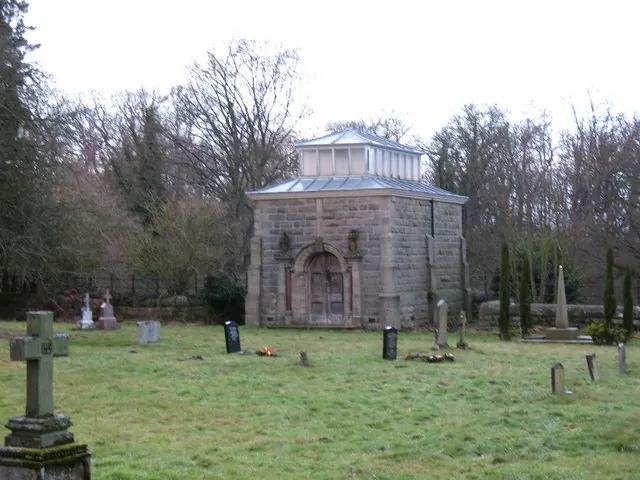
© Gordon Hatton · Geograph · CC BY-SA 2.0
Images © their respective photographers, licensed under CC BY-SA 2.0 and reused here with attribution. Photographs depict listed buildings, churches and monuments near this settlement and may show neighbouring villages.
Location
54.5706°N, -1.9768°W · Land of Count Alan hundred, Yorkshire
View larger map on OpenStreetMap →Data derived from the Open Domesday project (opendomesday.org), based on the Domesday Book dataset compiled by Professor J.J.N. Palmer and team. The Domesday Book (1086) is in the public domain.
Found an inaccuracy? [email protected]