Cookridge in the Domesday Book (1086)
The 1086 Domesday survey records the settlement of Cookridge, entered under the hundred of Skyrack in Yorkshire. The survey assessed Cookridge at 0.2 carucates of taxable land.
At the time of the survey, Cookridge supported a recorded population of 2 villagers, 2 smallholders, 1 slave, working 2 ploughs between them.
The survey records Cookridge’s value at 10d in 1086. No pre-Conquest figure survives – not unusual in the North, where records were disrupted by the Harrying and by the patchy coverage of the survey.
Resources Recorded at Cookridge (1086)
- Meadow: 2 acres
- Woodland: 6 acres
Other Settlements in Skyrack
- Adel
- Allerton [Bywater]
- Alwoodley
- Arthington
- Austhorpe
- Baildon
- Bardsey
- Barwick [in Elmet]
- Bichertun
- Bicherun
- Bingley
- Birkby [Hill]
- Bramhope
- Burden [Head]
The Meaning of the Name
The name Cookridge is of Anglo-Saxon origin. Its final element derives from the Old English word hrycg, a ridge. The first element is most likely a personal name or an early descriptive term, now difficult to recover with certainty. Taken together the name probably meant something close to ‘a ridge’.
Remarkably, the name has changed little since 1086, when the Domesday scribes wrote it as Cookridge.
Listed Buildings Near Cookridge
Historic England records 13 listed buildings within about a mile of Cookridge. Listing protects structures of special architectural or historic interest, graded I (exceptional), II* (particularly important) and II.
Grade II
- The Lodge and attached walls - 0.18 km
- Cookridge Hall With Flanking Screen Walls Gate Piers and Gates - 0.25 km
- West Stable Block to North West of Cookridge Hall - 0.26 km
- East Stable Block North West of Cookridge Hall - 0.27 km
- Ice House at Cookridge Hall - 0.3 km
- Kitchen Garden Wall on East Side of Cookridge Hall - 0.32 km
- Smithy Hall - 0.5 km
- High Farm Public House Lounge and Food Bar - 0.68 km
- High Farm Public House - 0.7 km
- High Farm Public House Outbuilding on East Side of Yard - 0.7 km
- Lane End Farmhouse - 0.89 km
- Farm Building Approximately 20 Metres South East of Cocker Hill Farmhouse - 1.18 km
- Cocker Hill Farmhouse - 1.19 km
Scheduled Monuments Near Cookridge
Scheduled monuments are nationally important archaeological sites given legal protection. 3 lie within roughly a mile of Cookridge:
- Cup, ring and groove marked rock 15m from south wall of Gab Wood 300m east of Moseley Farm, Cookridge - 1.01 km
- Cup, ring and groove marked rock 2m south of north wall of Gab Wood 330m E of Moseley Farm, Cookridge - 1.02 km
- Medieval farmstead in Ireland Wood, 150m north east of Cookridge Hospital - 1.38 km
Cookridge Today
Today Cookridge lies within the administrative area of Leeds.
Read more about modern Cookridge on Wikipedia .
Nearby Domesday Settlements
Other places recorded in the 1086 survey within a few miles:
Heritage Around Cookridge
Photographs of churches, listed buildings and monuments in the vicinity, contributed by volunteers to the Geograph project and reused here under a Creative Commons licence.
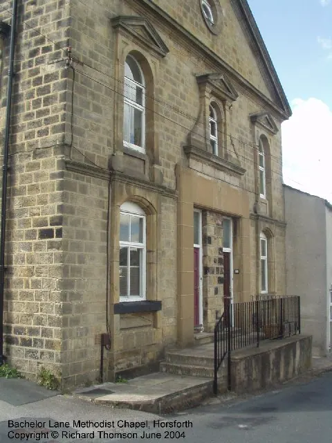
© Rich Tea · Geograph · CC BY-SA 2.0
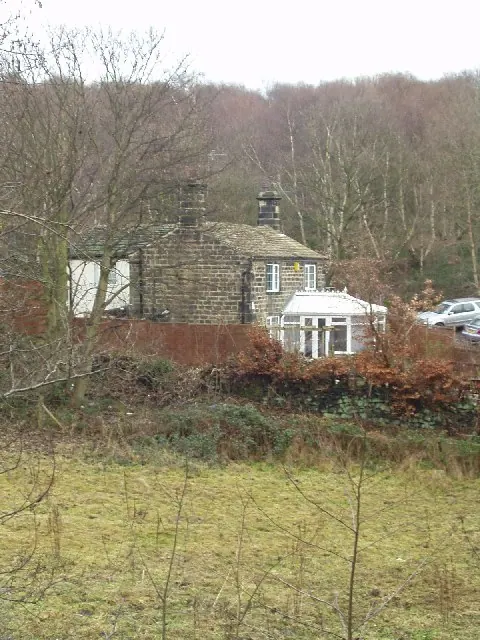
© Rich Tea · Geograph · CC BY-SA 2.0
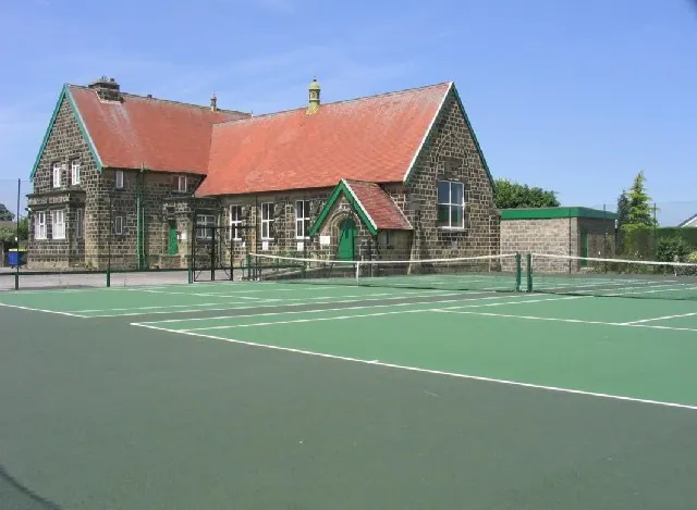
© Graham Firth · Geograph · CC BY-SA 2.0
Images © their respective photographers, licensed under CC BY-SA 2.0 and reused here with attribution. Photographs depict listed buildings, churches and monuments near this settlement and may show neighbouring villages.
Data derived from the Open Domesday project (opendomesday.org), based on the Domesday Book dataset compiled by Professor J.J.N. Palmer and team. The Domesday Book (1086) is in the public domain.
Found an inaccuracy? [email protected]