Cononley in the Domesday Book (1086)
The settlement of Cononley is recorded in William I’s Domesday survey of 1086, entered under the hundred of Craven in Yorkshire.
Other Settlements in Craven
- Addingham
- Airton
- Anley
- Appletreewick
- Arncliffe
- Arnford
- Barnoldswick
- Bashall [Eaves]
- Battersby [Barn]
- Beamsley
- Birkby [Hall]
- Bogeuurde
- Bolton [Abbey]
- Bolton [by Bowland]
The Meaning of the Name
The name Cononley is of Anglo-Saxon origin. Its final element derives from the Old English word lēah, a woodland clearing or glade. The first element is most likely a personal name or an early descriptive term, now difficult to recover with certainty. Taken together the name probably meant something close to ‘a clearing’.
Remarkably, the name has changed little since 1086, when the Domesday scribes wrote it as Cononley.
Listed Buildings Near Cononley
Historic England records 24 listed buildings within about a mile of Cononley. Listing protects structures of special architectural or historic interest, graded I (exceptional), II* (particularly important) and II.
Grade II
- Ghyll Farmhouse and Ghyll Farm Cottage - 0.52 km
- Cononley Hall - 0.53 km
- Shady Grove Farmhouse - 0.56 km
- 92, Main Street - 0.57 km
- Hall Croft - 0.57 km
- 116 and 118 (Bay House) Main Street - 0.57 km
- King’s Farmhouse - 0.58 km
- Cross House - 0.58 km
- New Inn - 0.58 km
- Aire View Farmhouse and Barn Attached - 0.59 km
- Milton House - 0.6 km
- Bradleys Farmhouse - 0.61 km
- Magazine Building at Cononley Lead Mine - 0.65 km
- Pear Tree Farmhouse - 0.65 km
- Portal to Incline Plane at Cononley Lead Mine - 0.66 km
- Barn to North of no 62 - 0.68 km
- Portal to Engine Shaft at Cononley Lead Mine - 0.69 km
- Chimney to Engine House - 0.73 km
- Smithy to South East of Engine House at Cononley Lead Mine - 0.74 km
- Engine House at Cononley Lead Mine - 0.74 km
- Scarcliffe Farmhouse - 1.17 km
- Low Moor Top Farmhouse - 1.28 km
- Garden Wall to West, South and East of Royd House - 1.29 km
- Royd House Barn - 1.3 km
Cononley Today
Today Cononley lies within the administrative area of Craven, and the settlement recorded a population of 1,478 at the 2021 census. Nine and a half centuries separate that figure from the small rural community the Domesday survey recorded here in 1086.
Read more about modern Cononley on Wikipedia .
Nearby Domesday Settlements
Other places recorded in the 1086 survey within a few miles:
- Farnhill - 2.0 km E
- Lothersdale - 2.2 km SW
- High and Low Bradley - 2.8 km NE
- Chelchis - 2.8 km SE
- Cheldis - 2.8 km SE
- Glusburn - 2.8 km SE
Heritage Around Cononley
Photographs of churches, listed buildings and monuments in the vicinity, contributed by volunteers to the Geograph project and reused here under a Creative Commons licence.
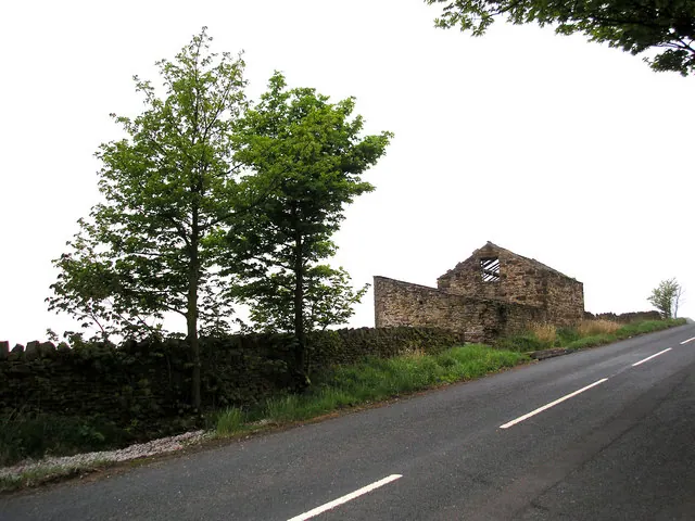
© Dr Neil Clifton · Geograph · CC BY-SA 2.0
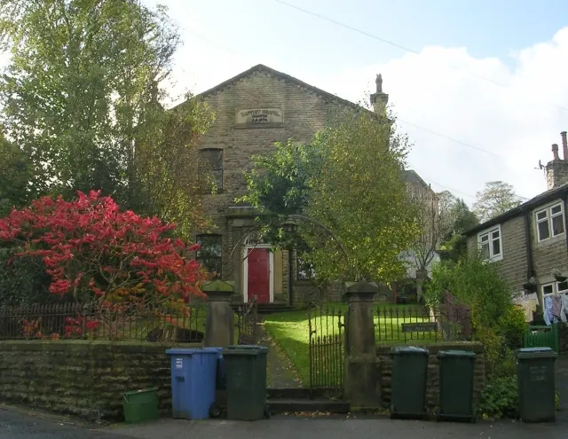
© Betty Longbottom · Geograph · CC BY-SA 2.0
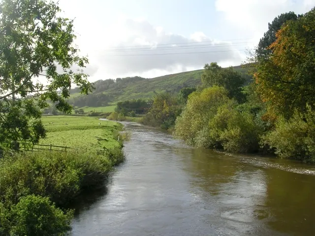
© Betty Longbottom · Geograph · CC BY-SA 2.0
Images © their respective photographers, licensed under CC BY-SA 2.0 and reused here with attribution. Photographs depict listed buildings, churches and monuments near this settlement and may show neighbouring villages.
Data derived from the Open Domesday project (opendomesday.org), based on the Domesday Book dataset compiled by Professor J.J.N. Palmer and team. The Domesday Book (1086) is in the public domain.
Found an inaccuracy? [email protected]