Congleton in the Domesday Book (1086)
Congleton appears in the Domesday Book of 1086, entered under the hundred of Middlewich in Cheshire. The survey assessed Congleton at 1.9 carucates of taxable land.
At the time of the survey, Congleton supported a recorded population of 29 smallholders, 3 slaves, working 3 ploughs between them.
By 1086 Congleton was worth 5 shillings, up from 4 shillings before the Conquest – one of the few settlements in the area to hold its value through the upheaval.
The survey lists 2 manors at Congleton under different lords. Splitting a single settlement between multiple tenants was common across the North – Saxon estates broken up and handed to William’s followers after 1066.
Resources Recorded at Congleton (1086)
- Mills: 2 mills
- Cattle: 2
- Pigs: 14
- Sheep: 24
- Meadow: 13 acres
- Woodland: 100 pigs
Other Settlements in Middlewich
- Alsager
- Bostock
- Brereton
- Byley
- Clive
- Croxton
- Davenham
- Davenport
- Goostrey
- Hassall
- Kinderton
- Lach [Dennis]
- Leftwich
- Middlewich
The Meaning of the Name
The name Congleton is of Anglo-Saxon origin. Its final element derives from the Old English word tūn, a farmstead or village. The first element is most likely a personal name or an early descriptive term, now difficult to recover with certainty. Taken together the name probably meant something close to ‘a farmstead’.
Remarkably, the name has changed little since 1086, when the Domesday scribes wrote it as Congleton.
Listed Buildings Near Congleton
Historic England records 89 listed buildings within about a mile of Congleton. Listing protects structures of special architectural or historic interest, graded I (exceptional), II* (particularly important) and II.
Grade II
- The Laurels - 0.19 km
- The Wharf Inn (Public House) - 0.25 km
- Tunnel Under Macclesfield Canal - 0.28 km
- Macclesfield Canal Canal Road Aqueduct - 0.29 km
- Parkleigh - 0.34 km
- Macclesfield Canal Lambert’s Lane Bridge Number 77 - 0.44 km
- Former Albion Hotel - 0.47 km
- Macclesfield Canal Morris Bridge, Bridge Number 76 - 0.47 km
- Bath House South East of Bradshaw House - 0.54 km
- 43, Lawton Street - 0.54 km
- Garden Shelter South of Bradshaw House - 0.56 km
- 31, Lawton Street - 0.57 km
- 33, Lawton Street - 0.57 km
- 25, Lawton Street - 0.59 km
- 23, Lawton Street - 0.6 km
- 28 and 28A, Lawton Street - 0.6 km
- Bradshaw House Cheshire County Council Day Nursery - 0.61 km
- 19, Lawton Street - 0.62 km
- Railway Station Hotel (Public House) - 0.66 km
- 2 and 4, Chapel Street - 0.68 km
- 9, Park Street - 0.68 km
- 8, Biddulph Road - 0.68 km
- Homefield - 0.69 km
- 6, Chapel Street - 0.69 km
…and 65 more listed structures in the area.
Congleton Today
Today Congleton lies within the administrative area of Cheshire East, and the settlement recorded a population of 28,488 at the 2021 census. Nine and a half centuries separate that figure from the small rural community the Domesday survey recorded here in 1086.
Read more about modern Congleton on Wikipedia .
Nearby Domesday Settlements
Other places recorded in the 1086 survey within a few miles:
- Church Lawton and Buglawton - 1.4 km NE
- Newbold Astbury - 2.2 km SW
- Somerford Booths - 4.2 km NW
- North Rode - 4.5 km NE
- Somerford - 5.8 km NW
- Bosley - 5.8 km NE
Heritage Around Congleton
Photographs of churches, listed buildings and monuments in the vicinity, contributed by volunteers to the Geograph project and reused here under a Creative Commons licence.
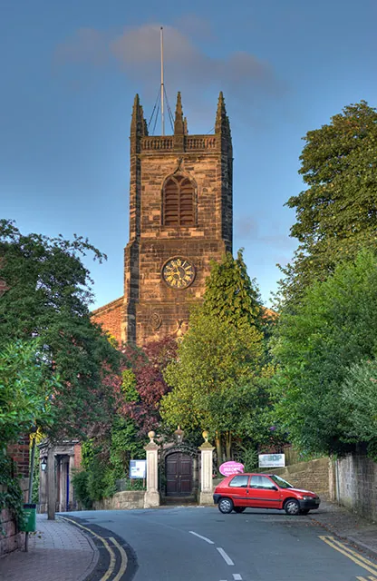
© Chris Sheard · Geograph · CC BY-SA 2.0
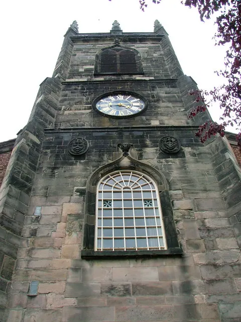
© Neil Lewin · Geograph · CC BY-SA 2.0
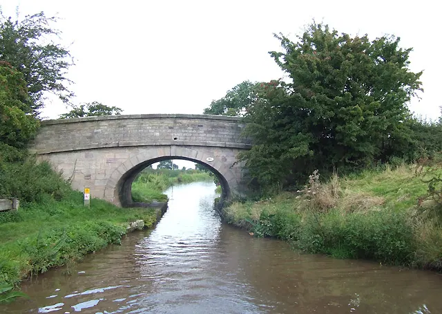
© Roger D Kidd · Geograph · CC BY-SA 2.0
Images © their respective photographers, licensed under CC BY-SA 2.0 and reused here with attribution. Photographs depict listed buildings, churches and monuments near this settlement and may show neighbouring villages.
Data derived from the Open Domesday project (opendomesday.org), based on the Domesday Book dataset compiled by Professor J.J.N. Palmer and team. The Domesday Book (1086) is in the public domain.
Found an inaccuracy? [email protected]