Coneysthorpe in the Domesday Book (1086)
Coneysthorpe is named in the Domesday Book, compiled by Norman commissioners in 1086, entered under the hundred of Bulford in Yorkshire.
Other Settlements in Bulford
- Aldwark
- Alne
- Barnby [House]
- Barton [le Willows]
- Beningbrough
- Bossall
- Brafferton
- Brandsby
- Bulmer
- Buttercrambe
- Carlton [Farm]
- Claxton
- Corburn
- Cornbrough [House]
The Meaning of the Name
The name Coneysthorpe is of Scandinavian origin. Its final element derives from the Old Norse word þorp, an outlying or secondary farmstead. The first element is most likely a personal name or an early descriptive term, now difficult to recover with certainty. Taken together the name probably meant something close to ‘a outlying farm’.
Names of this type are a fingerprint of Scandinavian settlement: they cluster across the old Danelaw, where Norse-speaking settlers renamed or founded villages from the late 9th century onward.
Remarkably, the name has changed little since 1086, when the Domesday scribes wrote it as Coneysthorpe.
Listed Buildings Near Coneysthorpe
Historic England records 18 listed buildings within about a mile of Coneysthorpe. Listing protects structures of special architectural or historic interest, graded I (exceptional), II* (particularly important) and II.
Grade II*
- The Dairies (East House) - 1.15 km
- Castle Howard Reservoir Basin and Pedestal at Centre of Reservoir - 1.3 km
Grade II
- Gate Piers to Carriage Entrance and Pedestrian Entrance to Castle Howard Park and Adjoining Wall - 0.32 km
- House Immediately North of the Yews - 0.37 km
- Primrose Cottage - 0.38 km
- The Yews - 0.38 km
- Chapel of Ease - 0.41 km
- Memorial Cottage and Park Cottage - 0.42 km
- Secretary’s Cottage - 0.43 km
- Limekiln Farmhouse - 0.43 km
- Houses Immediately South of Limekiln Farmhouse - 0.43 km
- Village Hall (formerly The School) - 0.44 km
- The Post Office and Cottage Adjoining to North - 0.45 km
- Castle Howard Estate Yard Office and Joiner’s Shop - 0.54 km
- Castle Howard Estate Yard East and South Range - 0.54 km
- Castle Howard Estate Yard Sawmill and Engine House - 0.55 km
- Castle Howard Gate Piers, Railings and End Piers Immediately North East of North Lodge - 0.86 km
- The Dairies (Western House and Coach-house) - 1.24 km
Scheduled Monuments Near Coneysthorpe
Scheduled monuments are nationally important archaeological sites given legal protection. 5 lie within roughly a mile of Coneysthorpe:
- Linear dyke extending for 2.2km in Coneysthorpe Banks Wood - 1.19 km
- Round barrow in the west of Scarrish Wood - 1.35 km
- Round barrow 300m north of Rye Hills Farm - 1.39 km
- Cross dyke in Scarrish Wood - 1.41 km
- Cross dyke 600m north west of Easthorpe Farm - 1.46 km
Coneysthorpe Today
Today Coneysthorpe lies within the administrative area of Ryedale, and the settlement recorded a population of 69 at the 2021 census. Nine and a half centuries separate that figure from the small rural community the Domesday survey recorded here in 1086.
Read more about modern Coneysthorpe on Wikipedia .
Nearby Domesday Settlements
Other places recorded in the 1086 survey within a few miles:
- Henderskelfe - 1.0 km S
- Easthorpe House - 2.0 km E
- Appleton le Street - 2.8 km NE
- Welburn - 3.0 km S
- Ganthorpe - 3.2 km W
- Hildenley Hall - 3.2 km E
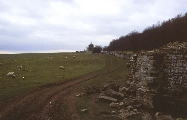
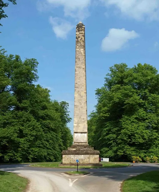
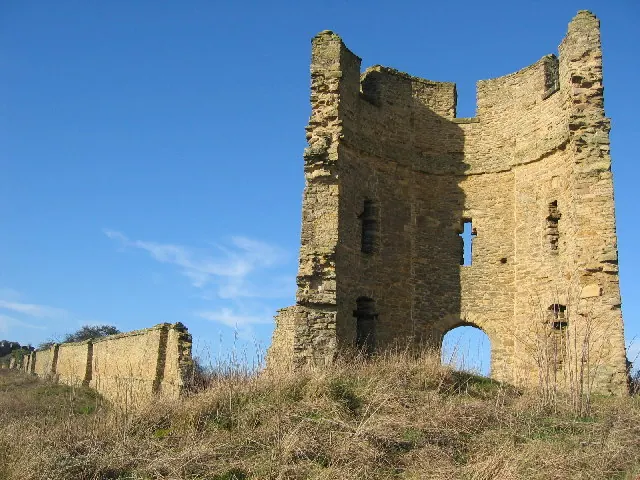
Heritage Around Coneysthorpe
Photographs of churches, listed buildings and monuments in the vicinity, contributed by volunteers to the Geograph project and reused here under a Creative Commons licence.
© Chris Heaton · Geograph · CC BY-SA 2.0
© Steve Fareham · Geograph · CC BY-SA 2.0
© Chris McLean · Geograph · CC BY-SA 2.0
Images © their respective photographers, licensed under CC BY-SA 2.0 and reused here with attribution. Photographs depict listed buildings, churches and monuments near this settlement and may show neighbouring villages.
Data derived from the Open Domesday project (opendomesday.org), based on the Domesday Book dataset compiled by Professor J.J.N. Palmer and team. The Domesday Book (1086) is in the public domain.
Found an inaccuracy? [email protected]