Conersley in the Domesday Book (1086)
Conersley appears in the Domesday Book of 1086, entered under the hundred of Ruloe in Cheshire. The survey assessed Conersley at 5 carucates of taxable land.
At the time of the survey, Conersley supported a recorded population of 3 villagers, 4 smallholders, 2 slaves, working 6 ploughs between them.
The survey puts Conersley’s value at 2.5 shillings, the same as before the Conquest. Unchanged valuations are relatively rare in the North, where disruption was widespread.
The survey lists 2 manors at Conersley under different lords. Splitting a single settlement between multiple tenants was common across the North – Saxon estates broken up and handed to William’s followers after 1066.
Resources Recorded at Conersley (1086)
- Meadow: 2 None
Other Settlements in Ruloe
- Aldredelie
- Alvanley
- Done
- Dunham [on the Hill]
- Eddisbury
- Elton
- Frodsham
- Hartford
- Helsby
- Ince
- Kingsley
- Manley
- Thornton [le Moors]
- Weaverham
The Meaning of the Name
The name Conersley is of Anglo-Saxon origin. Its final element derives from the Old English word lēah, a woodland clearing or glade. The first element is most likely a personal name or an early descriptive term, now difficult to recover with certainty. Taken together the name probably meant something close to ‘a clearing’.
Remarkably, the name has changed little since 1086, when the Domesday scribes wrote it as Conersley.
Listed Buildings Near Conersley
Historic England records 16 listed buildings within about a mile of Conersley. Listing protects structures of special architectural or historic interest, graded I (exceptional), II* (particularly important) and II.
Grade II*
- The Beeches - 1.25 km
Grade II
- Riddings House - 0.29 km
- Front Wall and Steps to Whitehall - 0.69 km
- Whitehall - 0.7 km
- Hartford Hall Hotel - 0.71 km
- The Hollies - 0.74 km
- Hartford War Memorial - 0.75 km
- Church of St John - 0.78 km
- Cattle Tunnel 170 Metres North West of Vale Royal Railway Viaduct - 0.89 km
- Railway Viaduct - 1.05 km
- Turnpike Milepost Between Number 453 and Number 455 - 1.05 km
- Lock Keeper’s Cottage at Vale Royal Locks - 1.12 km
- Lock, Lock Gates and Swing-bridge, Forming Large Lock, Vale Royal - 1.2 km
- Small Lock, Lock Gates and Swing Bridge, Vale Royal Locks - 1.21 km
- Sluice, Channel and Sluice A Swing-bridges at Vale Royal Locks - 1.21 km
- Barn 20 Metres West of Brown Heath Farmhouse - 1.24 km
Conersley Today
Today Conersley lies within the administrative area of Cheshire West and Chester.
Nearby Domesday Settlements
Other places recorded in the 1086 survey within a few miles:
Heritage Around Conersley
Photographs of churches, listed buildings and monuments in the vicinity, contributed by volunteers to the Geograph project and reused here under a Creative Commons licence.
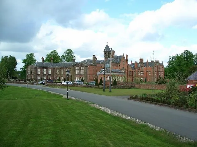
© Steve Leech · Geograph · CC BY-SA 2.0
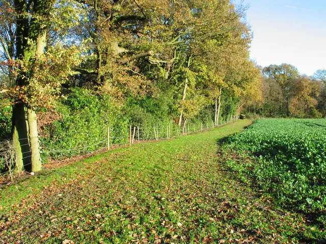
© Ian Nadin · Geograph · CC BY-SA 2.0
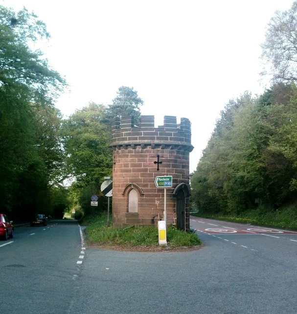
© Jo Lxix · Geograph · CC BY-SA 2.0
Images © their respective photographers, licensed under CC BY-SA 2.0 and reused here with attribution. Photographs depict listed buildings, churches and monuments near this settlement and may show neighbouring villages.
Data derived from the Open Domesday project (opendomesday.org), based on the Domesday Book dataset compiled by Professor J.J.N. Palmer and team. The Domesday Book (1086) is in the public domain.
Found an inaccuracy? [email protected]