Colton in the Domesday Book (1086)
The 1086 Domesday survey records the settlement of Colton, entered under the hundred of Skyrack in Yorkshire.
Other Settlements in Skyrack
- Adel
- Allerton [Bywater]
- Alwoodley
- Arthington
- Austhorpe
- Baildon
- Bardsey
- Barwick [in Elmet]
- Bichertun
- Bicherun
- Bingley
- Birkby [Hill]
- Bramhope
- Burden [Head]
The Meaning of the Name
The name Colton is of Anglo-Saxon origin. Its final element derives from the Old English word tūn, a farmstead or village. The first element is most likely a personal name or an early descriptive term, now difficult to recover with certainty. Taken together the name probably meant something close to ‘a farmstead’.
Remarkably, the name has changed little since 1086, when the Domesday scribes wrote it as Colton.
Listed Buildings Near Colton
Historic England records 46 listed buildings within about a mile of Colton. Listing protects structures of special architectural or historic interest, graded I (exceptional), II* (particularly important) and II.
Grade II*
- Little Temple - 0.43 km
Grade II
- Park Cottage - 0.05 km
- Park House - 0.05 km
- Barn and Outbuildings to East of Park Farmhouse - 0.08 km
- The Hawthorns - 0.09 km
- Beech House - 0.11 km
- Park Farmhouse - 0.13 km
- Rose Cottage, Lilac Cottage and Stonecroft - 0.13 km
- Leafield Cottage - 0.21 km
- Ash Cottage - 0.23 km
- The Poplars and Attached Railings - 0.24 km
- Rose Garden Wall at Temple Newsam at Ngr 3631 3247 - 0.29 km
- Park Road Farmhouse Including Outbuildings Adjoining on East - 0.37 km
- Numbers 1 and 2 and Attached Wall - 0.42 km
- Holly Tree Farmhouse - 0.45 km
- Princess Farmhouse - 0.45 km
- Colton Lodge - 0.46 km
- 16 and 18, Meynell Road - 0.49 km
- Boundary Wall to North of Temple Newsam Park, to East West of North Lodges - 0.64 km
- Colton Cottage - 0.66 km
- North Lodges with wall and gate piers at Temple Newsam - 0.68 km
- Sphinx Gates (Pair of Gate Piers and Gates Approximately 137 Metres East of Barn) - 0.69 km
- Vine Cottage Yew Tree Cottage - 0.69 km
- New Row - 0.73 km
…and 22 more listed structures in the area.
Scheduled Monuments Near Colton
Scheduled monuments are nationally important archaeological sites given legal protection. 4 lie within roughly a mile of Colton:
- Shrunken medieval village of Colton - 0.04 km
- Length of Grim’s Ditch extending 1.4km from a point 70m south of Cotton Road East to the south east corner of Avenue Wood - 0.99 km
- Length of Grim’s Ditch from Cotton Road East to the A63, Colton Common - 1.11 km
- Length of Grim’s Ditch immediately east of Barrowby Road - 1.38 km
Colton Today
Today Colton lies within the administrative area of Leeds.
Read more about modern Colton on Wikipedia .
Nearby Domesday Settlements
Other places recorded in the 1086 survey within a few miles:
- Austhorpe - 1.4 km NE
- Halton - 1.4 km NW
- Temple Newsam - 2.0 km S
- Shippen House - 2.8 km NE
- Thorpe Stapleton - 2.8 km SW
- Great and Little Preston - 2.8 km SE
Heritage Around Colton
Photographs of churches, listed buildings and monuments in the vicinity, contributed by volunteers to the Geograph project and reused here under a Creative Commons licence.
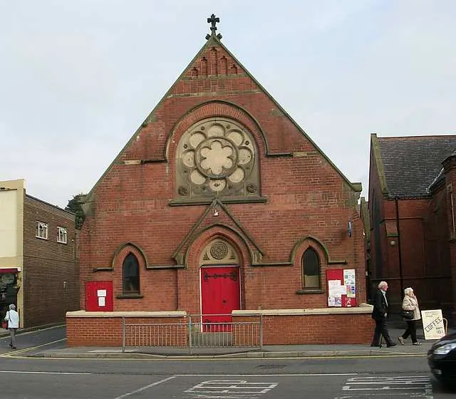
© Betty Longbottom · Geograph · CC BY-SA 2.0
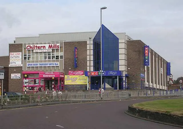
© Betty Longbottom · Geograph · CC BY-SA 2.0
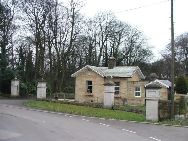
© Steve Partridge · Geograph · CC BY-SA 2.0
Images © their respective photographers, licensed under CC BY-SA 2.0 and reused here with attribution. Photographs depict listed buildings, churches and monuments near this settlement and may show neighbouring villages.
Data derived from the Open Domesday project (opendomesday.org), based on the Domesday Book dataset compiled by Professor J.J.N. Palmer and team. The Domesday Book (1086) is in the public domain.
Found an inaccuracy? [email protected]