Cold Eaton in the Domesday Book (1086)
The 1086 Domesday survey records the settlement of Cold Eaton, entered under the hundred of Hamston in Derbyshire.
Other Settlements in Hamston
- Alsop [-en-le-Dale]
- Ashbourne
- Atlow
- Ballidon
- Bonsall
- Bradbourne
- Brassington
- Broadlowash
- Callow
- Carsington
- Cowley
- Cromford
- Elton
- Hanson [Grange]
The Meaning of the Name
The name Cold Eaton is of Anglo-Saxon origin. Its final element derives from the Old English word tūn, a farmstead or village. The first element is most likely a personal name or an early descriptive term, now difficult to recover with certainty. Taken together the name probably meant something close to ‘a farmstead’.
Remarkably, the name has changed little since 1086, when the Domesday scribes wrote it as Cold Eaton.
Listed Buildings Near Cold Eaton
Historic England records 4 listed buildings within about a mile of Cold Eaton. Listing protects structures of special architectural or historic interest, graded I (exceptional), II* (particularly important) and II.
Grade II
- Lode House - 1.1 km
- Milepost Approximately 100 Yards South East of Lode House - 1.15 km
- Lode Cottage and Attached Wall - 1.19 km
- Lode Close and Attached Outbuilding - 1.2 km
Scheduled Monuments Near Cold Eaton
Scheduled monuments are nationally important archaeological sites given legal protection. 4 lie within roughly a mile of Cold Eaton:
- Nettly Knowe bowl barrow - 0.72 km
- Liffs Low bowl barrow - 1.4 km
- Pea Low bowl barrow - 1.51 km
- Bowl barrow at south-eastern end of summit of Gratton Hill - 1.55 km
Nearby Domesday Settlements
Other places recorded in the 1086 survey within a few miles:
- Alsop -en-le-Dale - 2.2 km SE
- Hanson Grange - 3.0 km S
- Newton Grange - 3.6 km SE
- Parwich - 4.5 km SE
- Hartington - 4.5 km NW
- Tissington - 5.0 km SE
Heritage Around [Cold] Eaton
Photographs of churches, listed buildings and monuments in the vicinity, contributed by volunteers to the Geograph project and reused here under a Creative Commons licence.
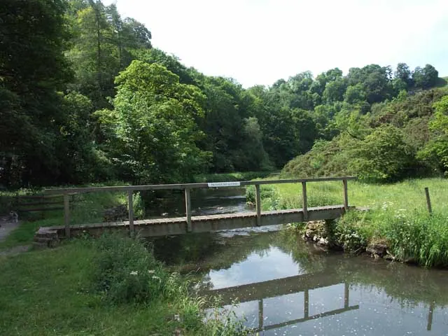
© Jerry Evans · Geograph · CC BY-SA 2.0
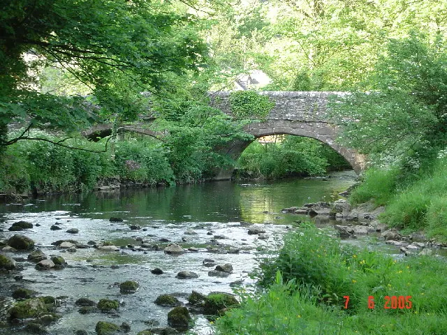
© Cathy Cox · Geograph · CC BY-SA 2.0
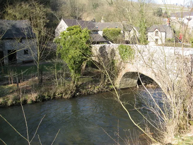
© Alan Heardman · Geograph · CC BY-SA 2.0
Images © their respective photographers, licensed under CC BY-SA 2.0 and reused here with attribution. Photographs depict listed buildings, churches and monuments near this settlement and may show neighbouring villages.
Data derived from the Open Domesday project (opendomesday.org), based on the Domesday Book dataset compiled by Professor J.J.N. Palmer and team. The Domesday Book (1086) is in the public domain.
Found an inaccuracy? [email protected]