Coddington in the Domesday Book (1086)
Coddington is named in the Domesday Book, compiled by Norman commissioners in 1086, entered under the hundred of Duddeston in Cheshire. The survey assessed Coddington at 11 carucates of taxable land.
At the time of the survey, Coddington supported a recorded population of 16 villagers, 21 smallholders, 8 slaves, working 10 ploughs between them.
Something went badly wrong here between the two surveys. Before 1066, Coddington was worth 20 shillings; by 1086 that had dropped to 15.5 shillings – a fall of 22%. Most Yorkshire villages that lost value on this scale were swept up in the Harrying of the North – William’s scorched-earth campaign of 1069–70.
Resources Recorded at Coddington (1086)
- Mills: 3 mills (valued at 2.87 shillings)
- Meadow: 15 acres
- Woodland: 10 swine render
Other Settlements in Duddeston
- Bettisfield
- Bickerton
- Bickley
- Boughton
- Broxton
- Burwardestone
- Burwardsley and [Higher] Burwardsley
- Caldecott
- Calvintone
- Cheaveley
- Cholmondeley
- Chowley
- Christleton
- Clutton
The Meaning of the Name
The name Coddington is of Anglo-Saxon origin. Its final element derives from the Old English word tūn, a farmstead or village. The first element is most likely a personal name or an early descriptive term, now difficult to recover with certainty. Taken together the name probably meant something close to ‘a farmstead’.
Remarkably, the name has changed little since 1086, when the Domesday scribes wrote it as Coddington.
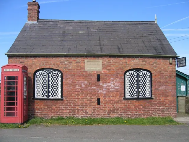
Listed Buildings Near Coddington
Historic England records 12 listed buildings within about a mile of Coddington. Listing protects structures of special architectural or historic interest, graded I (exceptional), II* (particularly important) and II.
Grade II
- Village Institute - 0.67 km
- Kiosk Adjacent to Village Institute - 0.67 km
- Church of St Mary - 0.71 km
- Sundial in Church of St Mary’s Churchyard - 0.72 km
- Coddington Old Rectory - 0.75 km
- Coddington Mill and Mill Dam - 0.87 km
- Middle Beachin Farmhouse - 1.18 km
- Higher Farmhouse - 1.2 km
- Barton Farmhouse - 1.2 km
- Millhey Farmhouse - 1.26 km
- Rose Farm - 1.26 km
- Rock Farmhouse - 1.27 km
Scheduled Monuments Near Coddington
Scheduled monuments are nationally important archaeological sites given legal protection. 1 lies within roughly a mile of Coddington:
- Bowl barrow 120m north-east of Rose Farm - 0.71 km
Coddington Today
Today Coddington lies within the administrative area of Cheshire West and Chester, and the settlement recorded a population of 62 at the 2021 census. Nine and a half centuries separate that figure from the small rural community the Domesday survey recorded here in 1086.
Read more about modern Coddington on Wikipedia .
Nearby Domesday Settlements
Other places recorded in the 1086 survey within a few miles:
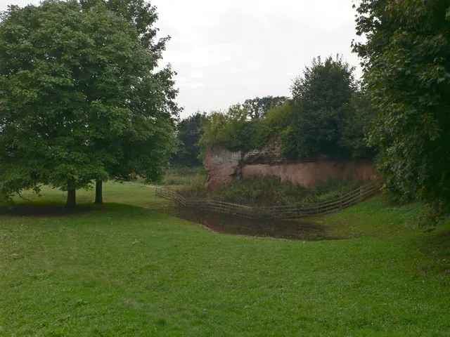
Heritage Around Coddington
Photographs of churches, listed buildings and monuments in the vicinity, contributed by volunteers to the Geograph project and reused here under a Creative Commons licence.

© Mike Searle · Geograph · CC BY-SA 2.0
© Eirian Evans · Geograph · CC BY-SA 2.0
© John S Turner · Geograph · CC BY-SA 2.0
Images © their respective photographers, licensed under CC BY-SA 2.0 and reused here with attribution. Photographs depict listed buildings, churches and monuments near this settlement and may show neighbouring villages.
Data derived from the Open Domesday project (opendomesday.org), based on the Domesday Book dataset compiled by Professor J.J.N. Palmer and team. The Domesday Book (1086) is in the public domain.
Found an inaccuracy? [email protected]