Coal Aston in the Domesday Book (1086)
Coal Aston appears in the Domesday Book of 1086, entered under the hundred of Scarsdale in Derbyshire.
Other Settlements in Scarsdale
- Alfreton
- Ashover
- Barlborough
- Barlow
- Beighton
- Blingsby
- Bolsover
- Boythorpe
- Bramley [Vale]
- Brimington
- Calow
- Chesterfield
- Clowne
- Dore
The Meaning of the Name
The name Coal Aston is of Anglo-Saxon origin. Its final element derives from the Old English word tūn, a farmstead or village. The first element is most likely a personal name or an early descriptive term, now difficult to recover with certainty. Taken together the name probably meant something close to ‘a farmstead’.
Remarkably, the name has changed little since 1086, when the Domesday scribes wrote it as Coal Aston.
Listed Buildings Near Coal Aston
Historic England records 8 listed buildings within about a mile of Coal Aston. Listing protects structures of special architectural or historic interest, graded I (exceptional), II* (particularly important) and II.
Grade II*
- Aston End - 0.57 km
Grade II
- Range of Outbuildings to the East of Silkstone Farmhouse - 0.34 km
- Silkstone Farmhouse - 0.35 km
- Two Farm Buildings to East of Norwood Farmhouse - 0.49 km
- Norwood Farmhouse - 0.5 km
- 14 and 16 Eckington Road - 0.53 km
- Summerley Hall, attached garden walls and gatepiers - 0.96 km
- Summerley Farmhouse - 0.98 km
Scheduled Monuments Near Coal Aston
Scheduled monuments are nationally important archaeological sites given legal protection. 1 lies within roughly a mile of Coal Aston:
Coal Aston Today
Today Coal Aston lies within the administrative area of Dronfield.
Read more about modern Coal Aston on Wikipedia .
Nearby Domesday Settlements
Other places recorded in the 1086 survey within a few miles:
- Dronfield - 1.4 km SW
- Upton - 1.4 km SW
- Unstone - 2.2 km SE
- Norton and Little Norton - 3.2 km N
- Middle, Nether and West Handley - 3.6 km SE
- Holmesfield - 4.5 km SW
Heritage Around [Coal] Aston
Photographs of churches, listed buildings and monuments in the vicinity, contributed by volunteers to the Geograph project and reused here under a Creative Commons licence.
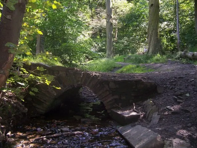
© Martin Speck · Geograph · CC BY-SA 2.0
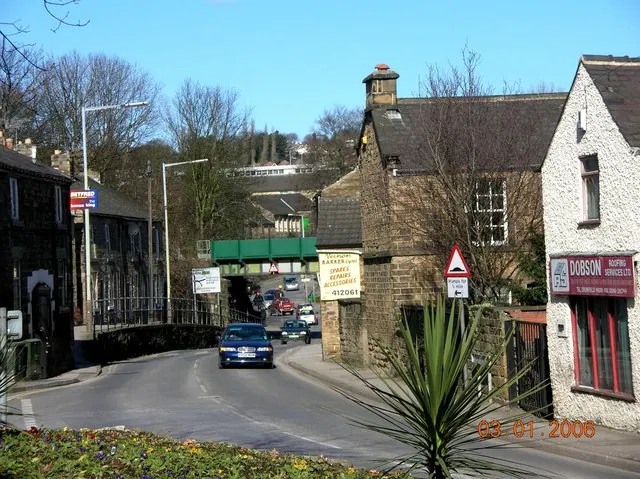
© Andrew Loughran · Geograph · CC BY-SA 2.0
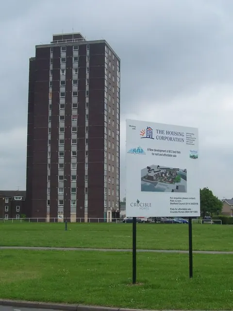
© Martin Speck · Geograph · CC BY-SA 2.0
Images © their respective photographers, licensed under CC BY-SA 2.0 and reused here with attribution. Photographs depict listed buildings, churches and monuments near this settlement and may show neighbouring villages.
Data derived from the Open Domesday project (opendomesday.org), based on the Domesday Book dataset compiled by Professor J.J.N. Palmer and team. The Domesday Book (1086) is in the public domain.
Found an inaccuracy? [email protected]