Clutton in the Domesday Book (1086)
The settlement of Clutton is recorded in William I’s Domesday survey of 1086, entered under the hundred of Duddeston in Cheshire. The survey assessed Clutton at 20 carucates of taxable land.
At the time of the survey, Clutton supported a recorded population of 23 villagers, 6 smallholders, 9 slaves, working 12 ploughs between them.
The valuation dropped between 1066 and 1086. Before 1066, Clutton was worth 11 shillings; by 1086 that had dropped to 10 shillings – a fall of 9%. Most Yorkshire villages that lost value on this scale were swept up in the Harrying of the North – William’s scorched-earth campaign of 1069–70.
Resources Recorded at Clutton (1086)
- Mills: 1 mill (valued at 3d)
- Meadow: 16 acres
- Woodland: 50 swine render
Other Settlements in Duddeston
- Bettisfield
- Bickerton
- Bickley
- Boughton
- Broxton
- Burwardestone
- Burwardsley and [Higher] Burwardsley
- Caldecott
- Calvintone
- Cheaveley
- Cholmondeley
- Chowley
- Christleton
- Coddington
The Meaning of the Name
The name Clutton is of Anglo-Saxon origin. Its final element derives from the Old English word tūn, a farmstead or village. The first element is most likely a personal name or an early descriptive term, now difficult to recover with certainty. Taken together the name probably meant something close to ‘a farmstead’.
Remarkably, the name has changed little since 1086, when the Domesday scribes wrote it as Clutton.
Listed Buildings Near Clutton
Historic England records 10 listed buildings within about a mile of Clutton. Listing protects structures of special architectural or historic interest, graded I (exceptional), II* (particularly important) and II.
Grade II*
- Clutton Lodge (East Lodge) East Lodge - 0.43 km
- Gate Piers and Railings at Clutton Lodge - 0.44 km
- Clutton Lodge (West Lodge) West Lodge - 0.46 km
Grade II
- Rose Cottage - 0.2 km
- Holford Charity, Farmhouse - 0.3 km
- Keeper’s Cottage - 0.47 km
- Ice House at Ngr 4635 5400 - 0.52 km
- Carden Hall Farm Farmhouse and Attached Range on North Side of Courtyard - 0.59 km
- Bullock’s Stone - 0.97 km
- Yew Tree Farmhouse - 1.19 km
Scheduled Monuments Near Clutton
Scheduled monuments are nationally important archaeological sites given legal protection. 3 lie within roughly a mile of Clutton:
- Bowl barrow in Carden Park - 0.96 km
- St Winefride’s Holy Well at Holywell Farm - 1.11 km
- Bowl barrow 120m north-east of Rose Farm - 1.54 km
Clutton Today
Today Clutton lies within the administrative area of Cheshire West and Chester, and the settlement recorded a population of 300 at the 2021 census. Nine and a half centuries separate that figure from the small rural community the Domesday survey recorded here in 1086.
Read more about modern Clutton on Wikipedia .
Nearby Domesday Settlements
Other places recorded in the 1086 survey within a few miles:
Heritage Around Clutton
Photographs of churches, listed buildings and monuments in the vicinity, contributed by volunteers to the Geograph project and reused here under a Creative Commons licence.
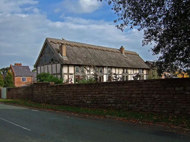
© Mike Searle · Geograph · CC BY-SA 2.0
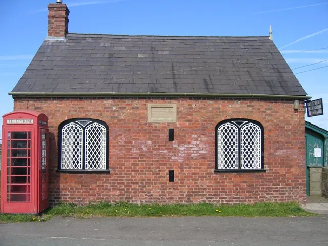
© John S Turner · Geograph · CC BY-SA 2.0
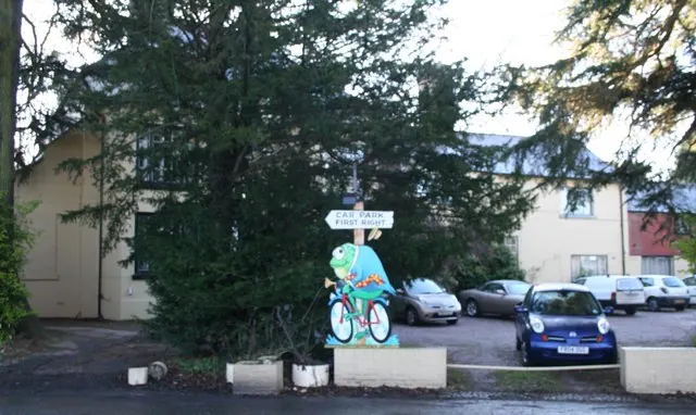
© Geoff Evans · Geograph · CC BY-SA 2.0
Images © their respective photographers, licensed under CC BY-SA 2.0 and reused here with attribution. Photographs depict listed buildings, churches and monuments near this settlement and may show neighbouring villages.
Data derived from the Open Domesday project (opendomesday.org), based on the Domesday Book dataset compiled by Professor J.J.N. Palmer and team. The Domesday Book (1086) is in the public domain.
Found an inaccuracy? [email protected]