Cloughton in the Domesday Book (1086)
Cloughton is named in the Domesday Book, compiled by Norman commissioners in 1086, entered under the hundred of Dic in Yorkshire.
Other Settlements in Dic
- Aislaby
- Allerston
- Appleton [le Moors]
- Aschelesmersc
- Aschilesmares
- Barton [le Street]
- Baschebi
- Baschesbi
- Brompton
- Burniston
- Burton [Dale]
- Cawthorn
- Cayton
- Chigogemers
The Meaning of the Name
The name Cloughton is of Anglo-Saxon origin. Its final element derives from the Old English word tūn, a farmstead or village. The first element is most likely a personal name or an early descriptive term, now difficult to recover with certainty. Taken together the name probably meant something close to ‘a farmstead’.
Remarkably, the name has changed little since 1086, when the Domesday scribes wrote it as Cloughton.
Listed Buildings Near Cloughton
Historic England records 13 listed buildings within about a mile of Cloughton. Listing protects structures of special architectural or historic interest, graded I (exceptional), II* (particularly important) and II.
Grade II
- Rose Dene - 0.3 km
- Uttriss House - 0.3 km
- Church Cottages - 0.33 km
- Blacksmith’s Arms Inn - 0.33 km
- Cloughton War Memorial - 0.34 km
- 46, High Street - 0.36 km
- Church of St Mary - 0.36 km
- Manor House - 0.36 km
- 25, High Street - 0.37 km
- Cloughton Hall - 0.37 km
- Dovecote at Cloughton Hall - 0.39 km
- Sykes Farmhouse - 0.97 km
- Corner House - 1.16 km
Scheduled Monuments Near Cloughton
Scheduled monuments are nationally important archaeological sites given legal protection. 2 lie within roughly a mile of Cloughton:
- Post-medieval dovecote 40m south of Cloughton Hall - 0.39 km
- Stone hut circle and iron working site on Holm Slack, 300m south of The Hulleys - 1.49 km
Cloughton Today
Today Cloughton lies within the administrative area of North Yorkshire, and the settlement recorded a population of 714 at the 2021 census. Nine and a half centuries separate that figure from the small rural community the Domesday survey recorded here in 1086.
Read more about modern Cloughton on Wikipedia .
Nearby Domesday Settlements
Other places recorded in the 1086 survey within a few miles:
- Burniston - 2.2 km SE
- Thirley Cotes - 3.2 km W
- Scalby - 4.0 km S
- Staintondale - 4.1 km N
- Stemainesbi - 4.1 km S
- Stemanesbi - 4.1 km S
Heritage Around Cloughton
Photographs of churches, listed buildings and monuments in the vicinity, contributed by volunteers to the Geograph project and reused here under a Creative Commons licence.
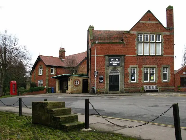
© David Rogers · Geograph · CC BY-SA 2.0
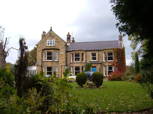
© JThomas · Geograph · CC BY-SA 2.0
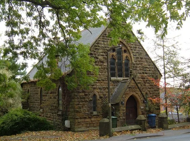
© JThomas · Geograph · CC BY-SA 2.0
Images © their respective photographers, licensed under CC BY-SA 2.0 and reused here with attribution. Photographs depict listed buildings, churches and monuments near this settlement and may show neighbouring villages.
Data derived from the Open Domesday project (opendomesday.org), based on the Domesday Book dataset compiled by Professor J.J.N. Palmer and team. The Domesday Book (1086) is in the public domain.
Found an inaccuracy? [email protected]