Clifton in the Domesday Book (1086)
The 1086 Domesday survey records the settlement of Clifton, entered under the hundred of York in Yorkshire.
Other Settlements in York
The Meaning of the Name
The name Clifton is of Anglo-Saxon origin. Its final element derives from the Old English word tūn, a farmstead or village. The first element is most likely a personal name or an early descriptive term, now difficult to recover with certainty. Taken together the name probably meant something close to ‘a farmstead’.
Remarkably, the name has changed little since 1086, when the Domesday scribes wrote it as Clifton.
Listed Buildings Near Clifton
Historic England records 156 listed buildings within about a mile of Clifton. Listing protects structures of special architectural or historic interest, graded I (exceptional), II* (particularly important) and II.
Grade II*
- 64 and 66, Clifton - 0.65 km
Grade II
- Vicarage and Vicarage Lodge to Church of St Philip and St James - 0.44 km
- Church of St Philip and St James - 0.46 km
- 134-140, Clifton Green - 0.49 km
- Churchyard Wall, Railings and Gate to Church of St Philip and St James - 0.49 km
- Clifton War Memorial - 0.49 km
- Clifton Lodge Rawcliffe Holt - 0.52 km
- 7, Rawcliffe Lane - 0.53 km
- 23, Clifton Green - 0.53 km
- Horse Drinking Trough and Canopy - 0.53 km
- 22, Clifton Green - 0.54 km
- Shipton Street School and Former Schoolmaster’s House Now No. 2 - 0.55 km
- Ellison Terrace - 0.6 km
- The Old Grey Mare Public House - 0.6 km
- 8, 10 and 12, Water End - 0.63 km
- 16, Clifton Green - 0.63 km
- John Burrill Homes - 0.64 km
- 68 and 70, Clifton - 0.64 km
- Garden Wall and Gates Approximately 25 Metres South East of the John Burrill Homes - 0.67 km
- John Burrill Homes - 0.67 km
- John Burrill Homes - 0.67 km
- 22, Burton Stone Lane - 0.67 km
- The White House - 0.7 km
- 1-9, the Avenue - 0.7 km
…and 132 more listed structures in the area.
Scheduled Monuments Near Clifton
Scheduled monuments are nationally important archaeological sites given legal protection. 7 lie within roughly a mile of Clifton:
- St Mary’s Abbey precinct walls - 1.27 km
- Roman camp on Clifton Moor, 275m NNE of Moor Farm - 1.37 km
- St Mary’s Abbey - 1.41 km
- York Minster cathedral precinct: including Bootham Bar and the length of City Walls extending round the precinct up to Monk Bar - 1.41 km
- St Peter’s Hospital, part of undercroft beneath the Theatre Royal - 1.45 km
- Roman camp on Bootham Stray, 450m north east of Moor Farm - 1.45 km
- Medieval stone town house known as The Norman House to the rear of Nos 48 and 50 Stonegate - 1.53 km
Clifton Today
Today Clifton lies within the administrative area of City of York, and the settlement recorded a population of 13,548 at recent figures. Nine and a half centuries separate that figure from the small rural community the Domesday survey recorded here in 1086.
Read more about modern Clifton on Wikipedia .
Nearby Domesday Settlements
Other places recorded in the 1086 survey within a few miles:
Heritage Around Clifton
Photographs of churches, listed buildings and monuments in the vicinity, contributed by volunteers to the Geograph project and reused here under a Creative Commons licence.
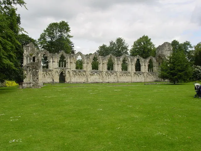
© Lyall Duffus · Geograph · CC BY-SA 2.0
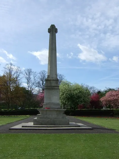
© Stanley Howe · Geograph · CC BY-SA 2.0
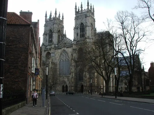
© Adam Simpson · Geograph · CC BY-SA 2.0
Images © their respective photographers, licensed under CC BY-SA 2.0 and reused here with attribution. Photographs depict listed buildings, churches and monuments near this settlement and may show neighbouring villages.
Data derived from the Open Domesday project (opendomesday.org), based on the Domesday Book dataset compiled by Professor J.J.N. Palmer and team. The Domesday Book (1086) is in the public domain.
Found an inaccuracy? [email protected]