Clifton Campville in the Domesday Book (1086)
Clifton Campville is named in the Domesday Book, compiled by Norman commissioners in 1086, entered under the hundred of Offlow in STS.
Other Settlements in Offlow
- Agardsley
- Aldridge
- Alrewas
- Barr
- Barton [-under-Needwood]
- Bescot
- Bloxwich and [Little] Bloxwich
- Bradley and [Lower] Bradley
- Branston
- Burton [-upon-Trent]
- Croxall
- Draycott [-in-the-Clay]
- Drayton [Bassett]
- Edingale
The Meaning of the Name
The name Clifton Campville is of Anglo-Saxon origin. Its final element derives from the Old English word tūn, a farmstead or village. The first element is most likely a personal name or an early descriptive term, now difficult to recover with certainty. Taken together the name probably meant something close to ‘a farmstead’.
Remarkably, the name has changed little since 1086, when the Domesday scribes wrote it as Clifton Campville.
Listed Buildings Near Clifton Campville
Historic England records 12 listed buildings within about a mile of Clifton Campville. Listing protects structures of special architectural or historic interest, graded I (exceptional), II* (particularly important) and II.
Grade I
- Church of St Andrew - 0.45 km
Grade II*
- Clifton Hall - 0.92 km
- Former Coach House and Stable Block to Clifton Hall - 0.98 km
Grade II
- Hawthorne Cottage - 0.52 km
- The Old Rectory - 0.53 km
- The Green Man - 0.56 km
- The Old Post Office - 0.58 km
- Gazebo approximately 40 yards south east of Manor Farmhouse - 0.61 km
- Church Farm - 0.61 km
- Manor Farmhouse - 0.64 km
- Dovecote Approximately 30 Yards North West of Manor Farmhouse - 0.67 km
- Milepost at Ngr Sk 2477 1091 - 0.95 km
Clifton Campville Today
Today Clifton Campville lies within the administrative area of Lichfield, and the settlement recorded a population of 861 at the 2021 census. Nine and a half centuries separate that figure from the small rural community the Domesday survey recorded here in 1086.
Read more about modern Clifton Campville on Wikipedia .
Nearby Domesday Settlements
Other places recorded in the 1086 survey within a few miles:
- Chilcote - 3.2 km E
- Lullington - 3.2 km N
- Nether or Over Seal - 4.2 km NE
- Edingale - 4.5 km NW
- Stretton -en-le-Field - 5.1 km E
- Coton -in-the-Elms - 5.1 km N
Heritage Around Clifton [Campville]
Photographs of churches, listed buildings and monuments in the vicinity, contributed by volunteers to the Geograph project and reused here under a Creative Commons licence.
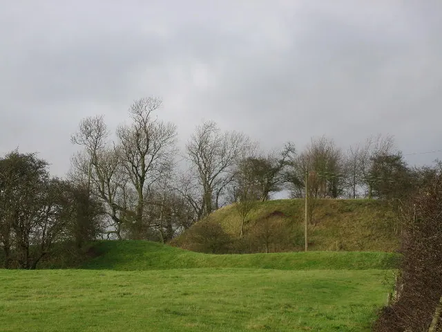
© Angella Streluk · Geograph · CC BY-SA 2.0
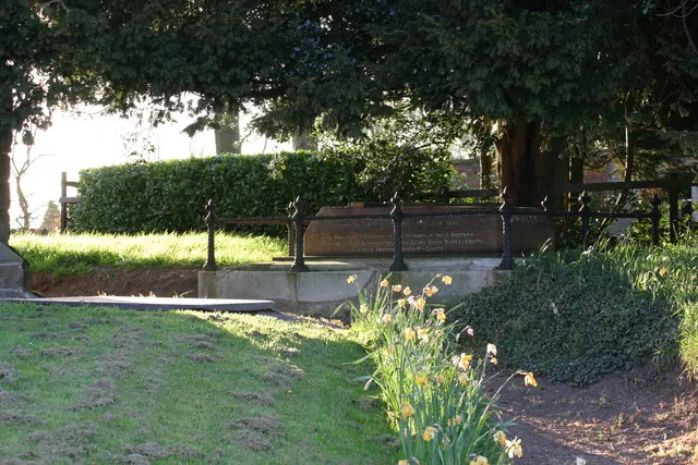
© Chris' Buet · Geograph · CC BY-SA 2.0
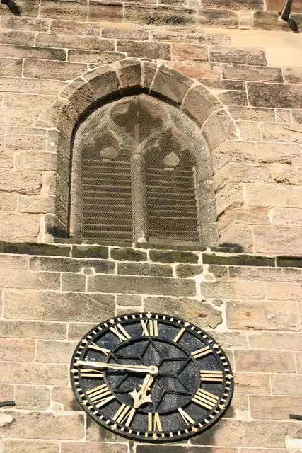
© Chris' Buet · Geograph · CC BY-SA 2.0
Images © their respective photographers, licensed under CC BY-SA 2.0 and reused here with attribution. Photographs depict listed buildings, churches and monuments near this settlement and may show neighbouring villages.
Data derived from the Open Domesday project (opendomesday.org), based on the Domesday Book dataset compiled by Professor J.J.N. Palmer and team. The Domesday Book (1086) is in the public domain.
Found an inaccuracy? [email protected]