Clifton in the Domesday Book (1086)
The 1086 Domesday survey records the settlement of Clifton, entered under the hundred of Appletree in Derbyshire.
Other Settlements in Appletree
- Alkmonton
- Ashe
- Aston
- Barton [Blount]
- Bentley
- Boylestone
- Bradley
- Brailsford
- Bupton
- Doveridge
- Eaton [Dovedale]
- Edlaston
- Ednaston
- Fenton
The Meaning of the Name
The name Clifton is of Anglo-Saxon origin. Its final element derives from the Old English word tūn, a farmstead or village. The first element is most likely a personal name or an early descriptive term, now difficult to recover with certainty. Taken together the name probably meant something close to ‘a farmstead’.
Remarkably, the name has changed little since 1086, when the Domesday scribes wrote it as Clifton.
Listed Buildings Near Clifton
Historic England records 22 listed buildings within about a mile of Clifton. Listing protects structures of special architectural or historic interest, graded I (exceptional), II* (particularly important) and II.
Grade I
- Church of St John Baptist - 1.2 km
Grade II
- Clifton Hall and Attached Wall and Railings - 0.26 km
- Clifton House and Two Gates and Garden Wall and Railings - 0.28 km
- The Croft and Attached Garden Wall and Railings - 0.3 km
- Church Cottage - 0.32 km
- Lychgate and Churchyard Wall to Church of the Holy Trinity - 0.33 km
- Church of the Holy Trinity - 0.35 km
- Ashbourne Lodge - 0.74 km
- Walls and Gates Adjacent to Ashbourne Lodge - 0.74 km
- Root house approximately 50 yards south of Mayfield House - 0.93 km
- Mayfield House - 0.96 km
- Stables Approximately 30 Yards North of Mayfield House - 0.97 km
- 2 Pairs of Gate Piers to Mayfield House and Stables - 0.98 km
- Former Coach House Approximately 50 Yards North of Mayfield House - 0.98 km
- Matherfield House the Vicarage - 1.11 km
- Icehouse 5 Yards to North West of the Remains of Old Snelston Hall - 1.18 km
- Ruins of Former Snelston Hall and Attached Walls and Gates - 1.19 km
- Cross Approximately 15 Yards South of South Aisle of Church of St John Baptist - 1.2 km
- Memorial Approximately 1 Yard South of South Aisle of Church of St John Baptist - 1.2 km
- Memorial Approximately 4 Yards South of South Porch of Church of St John Baptist - 1.21 km
- Memorial approximately 3 yards south of south aisle of Church of St John Baptist - 1.22 km
- Fountain 5 Metres South of Ruined Hall at Snelston - 1.23 km
Scheduled Monuments Near Clifton
Scheduled monuments are nationally important archaeological sites given legal protection. 2 lie within roughly a mile of Clifton:
- Tinker’s Inn bowl barrow, south - 1.49 km
- Tinker’s Inn bowl barrow, north - 1.54 km
Clifton Today
Today Clifton lies within the administrative area of Clifton and Compton.
Read more about modern Clifton on Wikipedia .
Nearby Domesday Settlements
Other places recorded in the 1086 survey within a few miles:
Heritage Around Clifton
Photographs of churches, listed buildings and monuments in the vicinity, contributed by volunteers to the Geograph project and reused here under a Creative Commons licence.
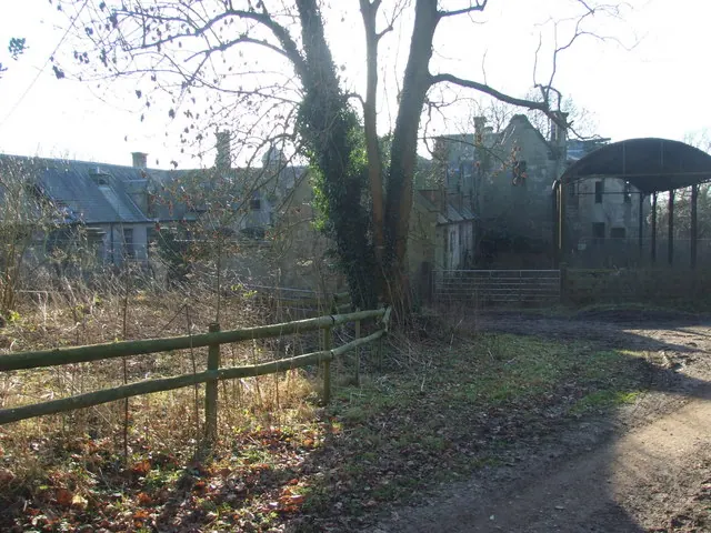
© Peter Taylor · Geograph · CC BY-SA 2.0
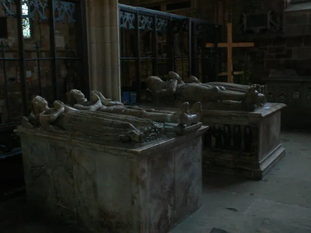
© Eirian Evans · Geograph · CC BY-SA 2.0
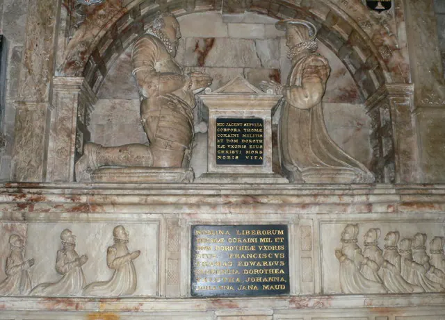
© Eirian Evans · Geograph · CC BY-SA 2.0
Images © their respective photographers, licensed under CC BY-SA 2.0 and reused here with attribution. Photographs depict listed buildings, churches and monuments near this settlement and may show neighbouring villages.
Data derived from the Open Domesday project (opendomesday.org), based on the Domesday Book dataset compiled by Professor J.J.N. Palmer and team. The Domesday Book (1086) is in the public domain.
Found an inaccuracy? [email protected]