Claxton in the Domesday Book (1086)
The 1086 Domesday survey records the settlement of Claxton, entered under the hundred of Bulford in Yorkshire. The survey assessed Claxton at 9.8 carucates of taxable land.
At the time of the survey, Claxton supported a recorded population of 17 villagers, 14 smallholders, 2 slaves, working 10 ploughs between them.
The drop in value is hard to miss. Before 1066, Claxton was worth 8 shillings; by 1086 that had dropped to 7 shillings – a fall of 12%. Most Yorkshire villages that lost value on this scale were swept up in the Harrying of the North – William’s scorched-earth campaign of 1069–70.
The survey lists 3 manors at Claxton under different lords. Splitting a single settlement between multiple tenants was common across the North – Saxon estates broken up and handed to William’s followers after 1066.
Resources Recorded at Claxton (1086)
- Meadow: 1 ploughs
- Woodland: 100 pigs
Other Settlements in Bulford
- Aldwark
- Alne
- Barnby [House]
- Barton [le Willows]
- Beningbrough
- Bossall
- Brafferton
- Brandsby
- Bulmer
- Buttercrambe
- Carlton [Farm]
- Coneysthorpe
- Corburn
- Cornbrough [House]
The Meaning of the Name
The name Claxton is of Anglo-Saxon origin. Its final element derives from the Old English word tūn, a farmstead or village. The first element is most likely a personal name or an early descriptive term, now difficult to recover with certainty. Taken together the name probably meant something close to ‘a farmstead’.
Remarkably, the name has changed little since 1086, when the Domesday scribes wrote it as Claxton.
Listed Buildings Near Claxton
Historic England records 6 listed buildings within about a mile of Claxton. Listing protects structures of special architectural or historic interest, graded I (exceptional), II* (particularly important) and II.
Grade II
- Vicarage Farmhouse - 0.14 km
- Middle Cottage - 0.42 km
- Griffin Gates and Lodges to Howsham Hall - 0.82 km
- Milepost Approximately 440M North of Lobster House, Claxton - 1.04 km
- Mount Pleasant Farmhouse - 1.11 km
- Lobster Cottage Lobster House - 1.2 km
Claxton Today
Today Claxton lies within the administrative area of Ryedale, and the settlement recorded a population of 197 at the 2021 census. Nine and a half centuries separate that figure from the small rural community the Domesday survey recorded here in 1086.
Read more about modern Claxton on Wikipedia .
Nearby Domesday Settlements
Other places recorded in the 1086 survey within a few miles:
- Harton - 1.4 km NE
- Bossall - 2.0 km E
- Sand Hutton - 2.0 km S
- Thorpe Hill - 2.2 km SE
- Flaxton - 2.8 km NW
- Barnby House - 3.0 km E
Heritage Around Claxton
Photographs of churches, listed buildings and monuments in the vicinity, contributed by volunteers to the Geograph project and reused here under a Creative Commons licence.
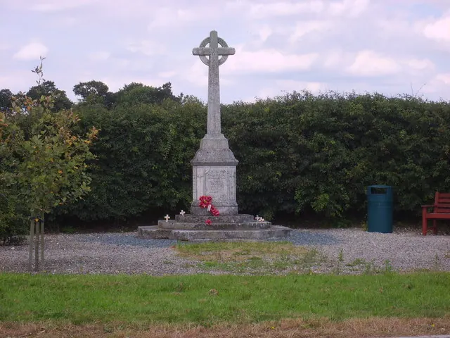
© Sam Kelly · Geograph · CC BY-SA 2.0
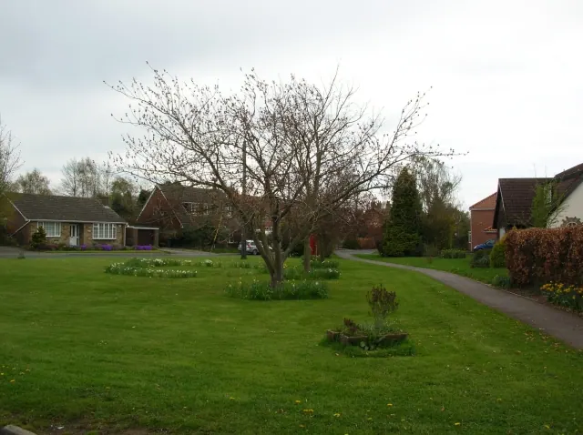
© DS Pugh · Geograph · CC BY-SA 2.0
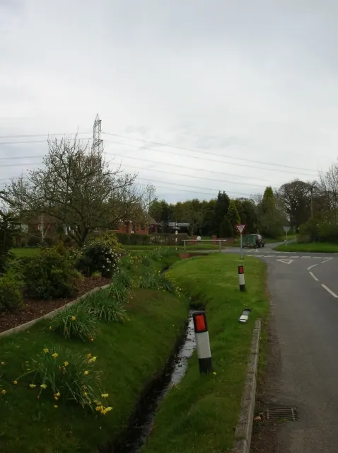
© DS Pugh · Geograph · CC BY-SA 2.0
Images © their respective photographers, licensed under CC BY-SA 2.0 and reused here with attribution. Photographs depict listed buildings, churches and monuments near this settlement and may show neighbouring villages.
Data derived from the Open Domesday project (opendomesday.org), based on the Domesday Book dataset compiled by Professor J.J.N. Palmer and team. The Domesday Book (1086) is in the public domain.
Found an inaccuracy? [email protected]