Christleton in the Domesday Book (1086)
The settlement of Christleton is recorded in William I’s Domesday survey of 1086, entered under the hundred of Duddeston in Cheshire.
Other Settlements in Duddeston
- Bettisfield
- Bickerton
- Bickley
- Boughton
- Broxton
- Burwardestone
- Burwardsley and [Higher] Burwardsley
- Caldecott
- Calvintone
- Cheaveley
- Cholmondeley
- Chowley
- Clutton
- Coddington
The Meaning of the Name
The name Christleton is of Anglo-Saxon origin. Its final element derives from the Old English word tūn, a farmstead or village. The first element is most likely a personal name or an early descriptive term, now difficult to recover with certainty. Taken together the name probably meant something close to ‘a farmstead’.
Remarkably, the name has changed little since 1086, when the Domesday scribes wrote it as Christleton.
Listed Buildings Near Christleton
Historic England records 36 listed buildings within about a mile of Christleton. Listing protects structures of special architectural or historic interest, graded I (exceptional), II* (particularly important) and II.
Grade II*
- Church of St James - 0.55 km
Grade II
- Quarry Bridge Canal Bridge Number 121 - 0.24 km
- Canal Bridge Number 122 - 0.25 km
- Christleton Hall - 0.36 km
- Gazebo at Christleton Hall, and Adjoining 60 Metre Long South Garden Wall to Stoneydale - 0.36 km
- Stoneydale - 0.4 km
- Ivy House - 0.45 km
- Parish Boundary Stone Against Front Wall of Number 60 (The Old Glass House) - 0.46 km
- Hydraulic Sewage Lift - 0.46 km
- The Old Glass House - 0.47 km
- Christleton House - 0.48 km
- South and East Garden Wall (Up to Footpath Gateway) of Christleton House - 0.48 km
- Parish Boundary Stone in Front of Number 127 - 0.5 km
- Primrose, Holly, Clematis and Rose Cottages - 0.53 km
- Rock House and Attached Shop - 0.53 km
- Christleton War Memorial - 0.54 km
- Sundial in St James’s Churchyard - 0.55 km
- Lych Gate to St James’s Churchyard - 0.55 km
- Headstone of William Huggins, Churchyard of St James - 0.56 km
- Corner House and Sanden Cottage - 0.56 km
- The Surgery - 0.56 km
- Memorial Shelter on the Village Green - 0.57 km
- Haulfryn - 0.57 km
- K6 Telephone Kiosk at Junction With Birch Heath Lane - 0.57 km
…and 12 more listed structures in the area.
Christleton Today
Today Christleton lies within the administrative area of Cheshire West and Chester, and the settlement recorded a population of 2,413 at the 2021 census. Nine and a half centuries separate that figure from the small rural community the Domesday survey recorded here in 1086.
Read more about modern Christleton on Wikipedia .
Nearby Domesday Settlements
Other places recorded in the 1086 survey within a few miles:
- Boughton - 1.0 km W
- Netherleigh - 2.0 km W
- Redcliff - 2.2 km NW
- Handbridge - 2.2 km SW
- Overleigh - 3.0 km W
- Chester - 3.2 km W
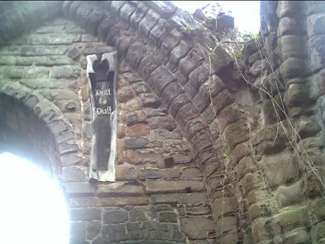
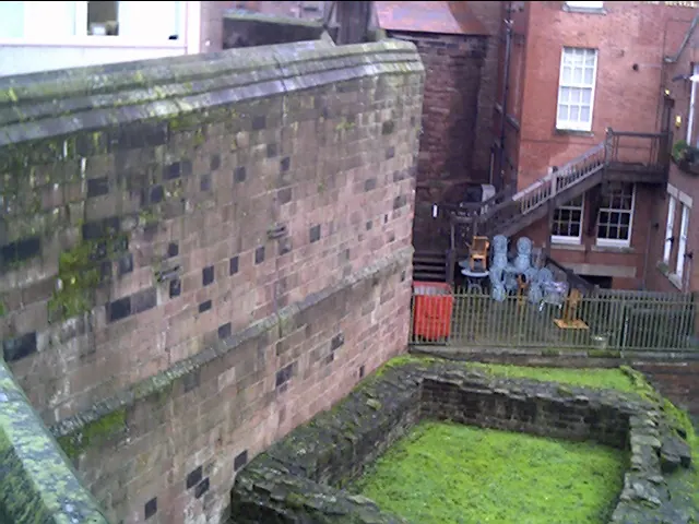
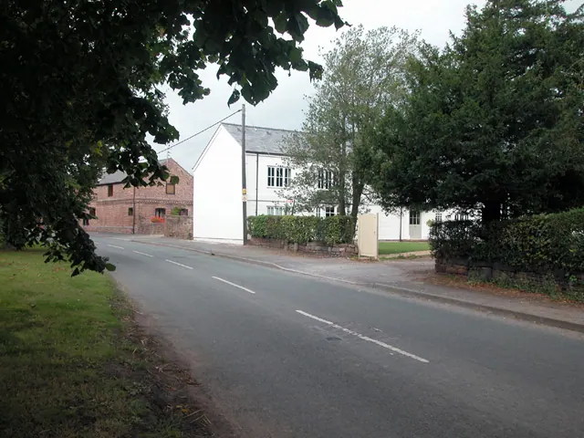
Heritage Around Christleton
Photographs of churches, listed buildings and monuments in the vicinity, contributed by volunteers to the Geograph project and reused here under a Creative Commons licence.
© chestertouristcom · Geograph · CC BY-SA 2.0
© chestertouristcom · Geograph · CC BY-SA 2.0
© Dennis Turner · Geograph · CC BY-SA 2.0
Images © their respective photographers, licensed under CC BY-SA 2.0 and reused here with attribution. Photographs depict listed buildings, churches and monuments near this settlement and may show neighbouring villages.
Data derived from the Open Domesday project (opendomesday.org), based on the Domesday Book dataset compiled by Professor J.J.N. Palmer and team. The Domesday Book (1086) is in the public domain.
Found an inaccuracy? [email protected]