Chisworth and Higher Chisworth in the Domesday Book (1086)
The 1086 Domesday survey records the settlement of Chisworth and Higher Chisworth, entered under the hundred of Blackwell in Derbyshire. The survey assessed Chisworth and Higher Chisworth at 5.9 carucates of taxable land.
At the time of the survey, Chisworth and Higher Chisworth supported a recorded population of 6 villagers, 25 smallholders, 4 slaves, 38 freemanmen, working 13 ploughs between them.
By 1086 Chisworth and Higher Chisworth was worth 4.63 shillings, up from 3.5 shillings before the Conquest – which sets it apart from the many nearby villages left waste or devalued.
The survey lists 2 manors at Chisworth and Higher Chisworth under different lords. Splitting a single settlement between multiple tenants was common across the North – Saxon estates broken up and handed to William’s followers after 1066.
Resources Recorded at Chisworth and Higher Chisworth (1086)
- Mills: 2 mills
- Churches: 1
- Cattle: 4
- Sheep: 160
- Meadow: 17 acres
- Woodland: 15 pigs
Other Settlements in Blackwell
- Abney
- Ashford [-in-the-Water]
- Aston
- Bakewell
- Bamford
- Baslow
- Beeley
- Birchills
- Birchover
- Blackwell
- Bradwell
- Bubnell
- Burley
- Burton
The Meaning of the Name
The name Chisworth and Higher Chisworth is of Anglo-Saxon origin. Its final element derives from the Old English word worð, an enclosure or homestead. The first element is most likely a personal name or an early descriptive term, now difficult to recover with certainty. Taken together the name probably meant something close to ‘a enclosure’.
Remarkably, the name has changed little since 1086, when the Domesday scribes wrote it as Chisworth and Higher Chisworth.
Listed Buildings Near Chisworth and Higher Chisworth
Historic England records 6 listed buildings within about a mile of Chisworth and Higher Chisworth. Listing protects structures of special architectural or historic interest, graded I (exceptional), II* (particularly important) and II.
Grade II
- Barn opposite Fold Farmhouse - 0.2 km
- Fold Farmhouse - 0.23 km
- Fold Cottage - 0.24 km
- Thornlea Farmhouse - 0.25 km
- Hilltop Farmhouse - 0.42 km
- Sandy Lane Farmhouse - 0.78 km
Scheduled Monuments Near Chisworth and Higher Chisworth
Scheduled monuments are nationally important archaeological sites given legal protection. 4 lie within roughly a mile of Chisworth and Higher Chisworth:
- Cairn on Ludworth Intakes - 0.64 km
- Brown Low bowl barrow - 0.96 km
- A wayside and a boundary cross known as Robin Hood’s Picking Rods - 1.14 km
- Cup-marked stone 80m east of Robin Hood’s Picking Rods - 1.21 km
Chisworth and Higher Chisworth Today
Today Chisworth and Higher Chisworth lies within the administrative area of Chisworth.
Nearby Domesday Settlements
Other places recorded in the 1086 survey within a few miles:
- Charlesworth - 1.4 km NE
- Ludworth - 2.2 km SW
- Chunal - 4.0 km E
- Werneth - 4.1 km W
- Higher and Lower Dinting - 4.2 km NE
- Whitfield - 4.5 km NE
Heritage Around Chisworth and [Higher] Chisworth
Photographs of churches, listed buildings and monuments in the vicinity, contributed by volunteers to the Geograph project and reused here under a Creative Commons licence.
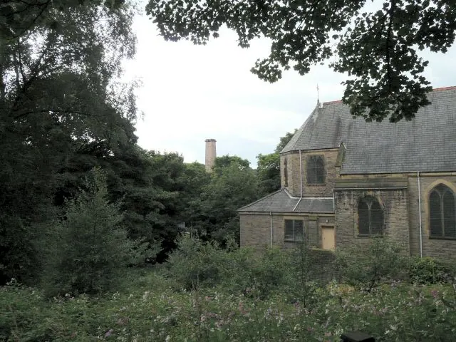
© Gerald England · Geograph · CC BY-SA 2.0
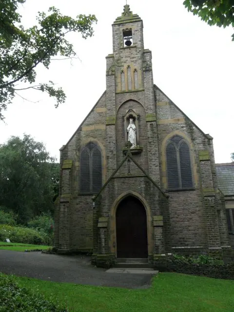
© Gerald England · Geograph · CC BY-SA 2.0
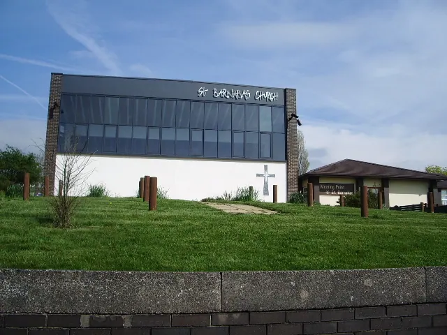
© Alexander P Kapp · Geograph · CC BY-SA 2.0
Images © their respective photographers, licensed under CC BY-SA 2.0 and reused here with attribution. Photographs depict listed buildings, churches and monuments near this settlement and may show neighbouring villages.
Data derived from the Open Domesday project (opendomesday.org), based on the Domesday Book dataset compiled by Professor J.J.N. Palmer and team. The Domesday Book (1086) is in the public domain.
Found an inaccuracy? [email protected]