Chester in the Domesday Book (1086)
Chester appears in the Domesday Book of 1086, entered under the hundred of Chester in Cheshire. The survey assessed Chester at 0.5 carucates of taxable land.
At the time of the survey, Chester supported a recorded population of 1 smallholder, 4 slaves, working 1 plough between them.
The numbers record a sharp fall. Before 1066, Chester was worth 2 shillings; by 1086 that had dropped to 1.5 shillings – a fall of 25%. Most Yorkshire villages that lost value on this scale were swept up in the Harrying of the North – William’s scorched-earth campaign of 1069–70.
Resources Recorded at Chester (1086)
- Meadow: 1 ploughs
- Woodland: 50 pigs
Other Settlements in Chester
The Meaning of the Name
The origin of the name Chester is not securely established from its modern form alone; like many settlement names in the North it likely combines an Old English or Old Norse personal name with a landscape term.
Remarkably, the name has changed little since 1086, when the Domesday scribes wrote it as Chester.
Listed Buildings Near Chester
Historic England records 651 listed buildings within about a mile of Chester. Listing protects structures of special architectural or historic interest, graded I (exceptional), II* (particularly important) and II.
Grade I
- Cathedral Church of Christ and the Blessed Virgin Mary - 0.02 km
- Former Monastic Buildings to Cathedral Church of Christ and the Blessed Virgin - 0.03 km
- Part of City Wall With Tower Base From Kaleyard Gate to Eastgate - 0.08 km
- Abbey Gateway - 0.09 km
Grade II*
- 1 and 2, Abbey Square - 0.09 km
- 5-11, Abbey Street - 0.09 km
Grade II
- Chester City War Memorial to Those Slain in Both World Wars - 0.04 km
- 13 and 14, Abbey Square - 0.06 km
- Wall and Railings to South Side of Abbey Square - 0.06 km
- Barclays Bank - 0.06 km
- Front Garden Wall to Numbers 13 and 14 - 0.07 km
- 4-10, Abbey Street - 0.07 km
- St Werburgh Row and Clemence House - 0.07 km
- Abbey Chambers - 0.08 km
- Front Garden Wall to Bishops House Including Gate Piers and Arch - 0.08 km
- Chester Magistrates Court - 0.08 km
- St Werburgh Mount - 0.08 km
- St Werburgh Mount - 0.08 km
- St Oswalds Chambers - 0.08 km
- Cross in Centre of Abbey Square - 0.09 km
- Perimeter Wall to Central Oval Raised Lawn - 0.09 km
- 13, Abbey Street - 0.09 km
- Numbers 32 and 34 Street the Old Music Hall - 0.09 km
- 29 and 31, St Werburgh Street - 0.09 km
…and 627 more listed structures in the area.
Scheduled Monuments Near Chester
Scheduled monuments are nationally important archaeological sites given legal protection. 9 lie within roughly a mile of Chester:
- St Nicholas’ Chapel - 0.08 km
- The Little Abbey Gateway, Northgate Street - 0.16 km
- Abbey Green Roman site - 0.18 km
- The walls, towers, gates and posterns of the City of Chester - 0.29 km
- Roman amphitheatre (southern part) - 0.4 km
- St John’s Church (ruined portions) - 0.47 km
- Chester Castle (part) - 0.69 km
- Dee Bridge - 0.73 km
- Roman quarry including Edgar’s Cave and the rock-cut figure of Minerva on Edgar’s Field, 150m south west of Dee Bridge - 0.86 km
Chester Today
Today Chester lies within the administrative area of Cheshire West and Chester.
Read more about modern Chester Castle on Wikipedia .
Nearby Domesday Settlements
Other places recorded in the 1086 survey within a few miles:
- Redcliff - 1.0 km E
- Overleigh - 1.0 km S
- Netherleigh - 1.4 km SE
- Boughton - 2.2 km SE
- Handbridge - 2.2 km SE
- Newton by Chester - 2.2 km NE
Heritage Around Chester
Photographs of churches, listed buildings and monuments in the vicinity, contributed by volunteers to the Geograph project and reused here under a Creative Commons licence.
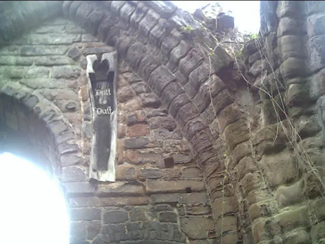
© chestertouristcom · Geograph · CC BY-SA 2.0
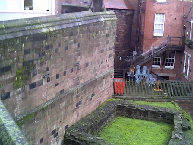
© chestertouristcom · Geograph · CC BY-SA 2.0
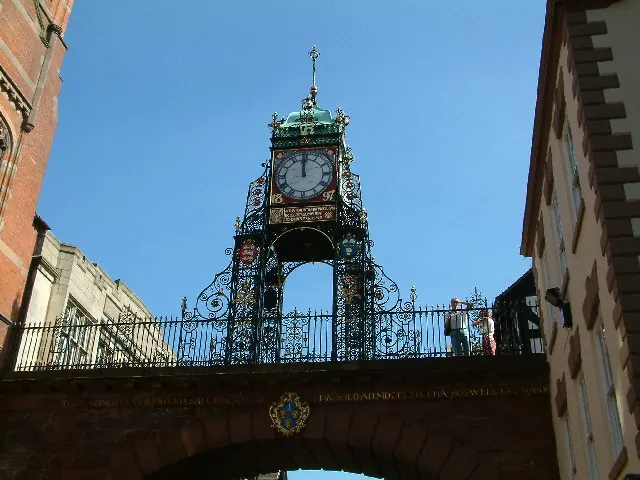
© Peter Hodge · Geograph · CC BY-SA 2.0
Images © their respective photographers, licensed under CC BY-SA 2.0 and reused here with attribution. Photographs depict listed buildings, churches and monuments near this settlement and may show neighbouring villages.
Data derived from the Open Domesday project (opendomesday.org), based on the Domesday Book dataset compiled by Professor J.J.N. Palmer and team. The Domesday Book (1086) is in the public domain.
Found an inaccuracy? [email protected]