Cherry Burton in the Domesday Book (1086)
Cherry Burton is named in the Domesday Book, compiled by Norman commissioners in 1086, entered under the hundred of Sneculfcros in Yorkshire.
Other Settlements in Sneculfcros
- Aike
- Beswick
- Beverley
- Bracken
- Dunnington
- Etton
- Gardham
- Grimston
- Holme [on the Wolds]
- Ianulfestorp
- Kilnwick
- Leconfield
- Lockington
- Middleton [on the Wolds]
The Meaning of the Name
The name Cherry Burton is of Anglo-Saxon origin. Its final element derives from the Old English word tūn, a farmstead or village. The first element is most likely a personal name or an early descriptive term, now difficult to recover with certainty. Taken together the name probably meant something close to ‘a farmstead’.
Remarkably, the name has changed little since 1086, when the Domesday scribes wrote it as Cherry Burton.
Listed Buildings Near Cherry Burton
Historic England records 7 listed buildings within about a mile of Cherry Burton. Listing protects structures of special architectural or historic interest, graded I (exceptional), II* (particularly important) and II.
Grade II
- Church of Saint Michael - 0.59 km
- Cherry Burton House - 0.66 km
- Park Farmhouse - 0.97 km
- 2, 4 and 6, Main Street - 1.06 km
- The Old School House - 1.07 km
- Elmtree Farmhouse - 1.1 km
- Highgate Farmhouse - 1.1 km
Scheduled Monuments Near Cherry Burton
Scheduled monuments are nationally important archaeological sites given legal protection. 3 lie within roughly a mile of Cherry Burton:
- Moated site and two fishponds 80m south-west of Parkhouse Farm. - 1.36 km
- Moated site 100m north of Parkhouse Farm - 1.47 km
- The Reins medieval deer park boundary within Park Ends and Oaktree Wood - 1.54 km
Cherry Burton Today
Today Cherry Burton lies within the administrative area of East Riding of Yorkshire, and the settlement recorded a population of 1,351 at the 2021 census. Nine and a half centuries separate that figure from the small rural community the Domesday survey recorded here in 1086.
Read more about modern Cherry Burton on Wikipedia .
Nearby Domesday Settlements
Other places recorded in the 1086 survey within a few miles:
- Raventhorpe - 1.4 km NE
- Bishop Burton - 2.0 km S
- Etton - 2.2 km NW
- Steintorp - 2.2 km NW
- Steitorp - 2.2 km NW
- Torp - 2.2 km NW
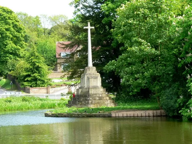
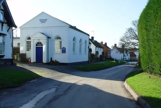
Heritage Around [Cherry] Burton
Photographs of churches, listed buildings and monuments in the vicinity, contributed by volunteers to the Geograph project and reused here under a Creative Commons licence.

© Maigheach-gheal · Geograph · CC BY-SA 2.0
© Roger Gilbertson · Geograph · CC BY-SA 2.0
© Peter Church · Geograph · CC BY-SA 2.0
Images © their respective photographers, licensed under CC BY-SA 2.0 and reused here with attribution. Photographs depict listed buildings, churches and monuments near this settlement and may show neighbouring villages.
Data derived from the Open Domesday project (opendomesday.org), based on the Domesday Book dataset compiled by Professor J.J.N. Palmer and team. The Domesday Book (1086) is in the public domain.
Found an inaccuracy? [email protected]