Chellow Grange in the Domesday Book (1086)
Chellow Grange is named in the Domesday Book, compiled by Norman commissioners in 1086, entered under the hundred of Morley in Yorkshire.
Other Settlements in Morley
- Allerton
- Armley
- Batley
- Beeston
- Bolton
- Bowling
- Bradford
- Bramley
- Calverley
- Carlton
- Clayton
- Clifton
- Cruttonstall
- Dewsbury
The Meaning of the Name
The origin of the name Chellow Grange is not securely established from its modern form alone; like many settlement names in the North it likely combines an Old English or Old Norse personal name with a landscape term.
Remarkably, the name has changed little since 1086, when the Domesday scribes wrote it as Chellow Grange.
Listed Buildings Near Chellow Grange
Historic England records 20 listed buildings within about a mile of Chellow Grange. Listing protects structures of special architectural or historic interest, graded I (exceptional), II* (particularly important) and II.
Grade II*
- Royds Hall Farmhouse - 1.21 km
Grade II
- Our Lady and the First Martyrs Catholic Church - 0.51 km
- West Bradford Golf Club House - 0.55 km
- Sharp’s Card Factory - 0.63 km
- Fountain in Lower Reservoir - 0.86 km
- 76 and 80, Daisy Hill Lane - 0.88 km
- 64-74, Daisy Hill Lane - 0.93 km
- 57-63, Daisy Hill Lane - 0.93 km
- New Row - 0.94 km
- Lodge to Chellow Dean - 0.94 km
- The former Queen Public House - 0.96 km
- 33, 37 and 39, Daisy Hill Lane - 0.99 km
- Archway With Gates Approximately 10 Metres to North East of Number 1 - 1.14 km
- Shay Farmhouse - 1.18 km
- Shay Farm Cottage - 1.18 km
- Shay Farm Cottage - 1.18 km
- 8 and 9, Shay Lane - 1.21 km
- Royds Hall Barn - 1.23 km
- 7, Shay Lane - 1.23 km
- Barn and Outbuildings to East of Number 7 - 1.25 km
Scheduled Monuments Near Chellow Grange
Scheduled monuments are nationally important archaeological sites given legal protection. 1 lies within roughly a mile of Chellow Grange:
Nearby Domesday Settlements
Other places recorded in the 1086 survey within a few miles:
Heritage Around Chellow [Grange]
Photographs of churches, listed buildings and monuments in the vicinity, contributed by volunteers to the Geograph project and reused here under a Creative Commons licence.
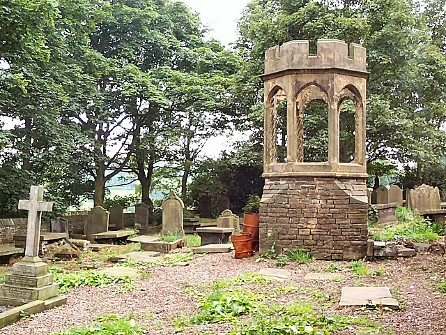
© David Spencer · Geograph · CC BY-SA 2.0
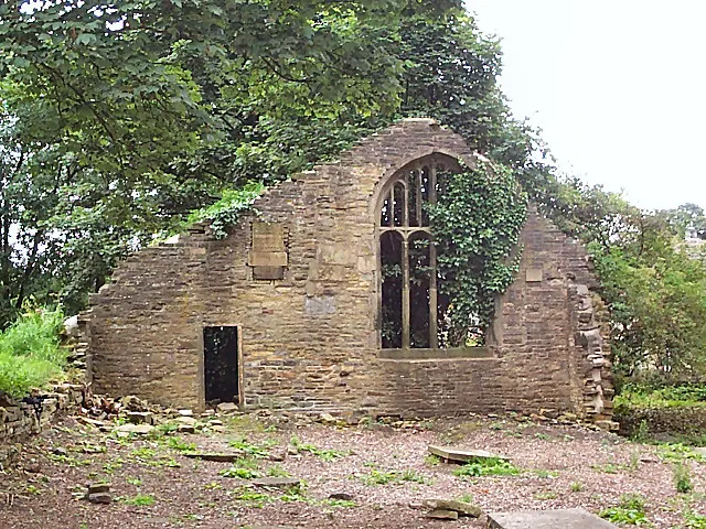
© David Spencer · Geograph · CC BY-SA 2.0
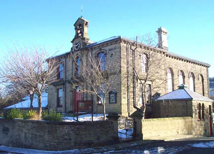
© Margaret Krupa · Geograph · CC BY-SA 2.0
Images © their respective photographers, licensed under CC BY-SA 2.0 and reused here with attribution. Photographs depict listed buildings, churches and monuments near this settlement and may show neighbouring villages.
Data derived from the Open Domesday project (opendomesday.org), based on the Domesday Book dataset compiled by Professor J.J.N. Palmer and team. The Domesday Book (1086) is in the public domain.
Found an inaccuracy? [email protected]