Cheaveley in the Domesday Book (1086)
Cheaveley is named in the Domesday Book, compiled by Norman commissioners in 1086, entered under the hundred of Duddeston in Cheshire.
Other Settlements in Duddeston
- Bettisfield
- Bickerton
- Bickley
- Boughton
- Broxton
- Burwardestone
- Burwardsley and [Higher] Burwardsley
- Caldecott
- Calvintone
- Cholmondeley
- Chowley
- Christleton
- Clutton
- Coddington
The Meaning of the Name
The name Cheaveley is of Anglo-Saxon origin. Its final element derives from the Old English word lēah, a woodland clearing or glade. The first element is most likely a personal name or an early descriptive term, now difficult to recover with certainty. Taken together the name probably meant something close to ‘a clearing’.
Remarkably, the name has changed little since 1086, when the Domesday scribes wrote it as Cheaveley.
Listed Buildings Near Cheaveley
Historic England records 28 listed buildings within about a mile of Cheaveley. Listing protects structures of special architectural or historic interest, graded I (exceptional), II* (particularly important) and II.
Grade II*
Grade II
- Cheaveley Hall Farmhouse - 0.6 km
- L-shaped Range of Farmbuildings at Cheaveley Hall Farm - 0.63 km
- Eaton Boat and Attached Storeshed and Domestic Offices - 0.81 km
- House East of Stud - 0.96 km
- Stud Stables - 1.02 km
- Stud Riding School and Attached Loose Yard Walls - 1.04 km
- Pair of Gates, Railings and Screen Walls Adjoining Garden Lodge - 1.05 km
- Eaton Estate Office - 1.06 km
- Stud Lodge Storeshed and Domestic Offices - 1.07 km
- Garden Lodge, Yard Walls and Attached Storeshed and Domestic Offices - 1.07 km
- The Garden House - 1.1 km
- Long Greenhouse East of Southern Walled Garden - 1.11 km
- Gates South East of the Garden House, and Gate Piers - 1.12 km
- Large Urn East of Fish Pond - 1.14 km
- Parrot House at North End of Broad Walk - 1.16 km
- North Lodge, Attached Former Pay Office and Yard With Storeshed and Closet - 1.17 km
- North Lodge Gate and Posts - 1.18 km
- Eccleston Ferry Farmhouse - 1.19 km
- Bandstand in Eccleston Ferry Farmhouse Garden - 1.19 km
- Causeway Carrying Eccleston Approach Drive, South of Eccleston Lodge - 1.23 km
- Pair of Gates at South West Corner of Walled Gardens - 1.24 km
- Eccleston Lodge - 1.26 km
- Eccleston Lodge Gates, Piers and Wing Railings - 1.27 km
…and 4 more listed structures in the area.
Scheduled Monuments Near Cheaveley
Scheduled monuments are nationally important archaeological sites given legal protection. 3 lie within roughly a mile of Cheaveley:
- Moated site and fishpond S of Huntington Hall - 0.65 km
- Bruera moated site and adjacent field system - 1.38 km
- Standing cross in St Mary’s churchyard - 1.49 km
Nearby Domesday Settlements
Other places recorded in the 1086 survey within a few miles:
- Huntington - 1.0 km N
- Eccleston - 1.4 km NW
- Eaton - 1.4 km SW
- Saighton - 2.2 km NE
- Lea Newbold - 2.2 km SE
- Claverton - 2.8 km NW
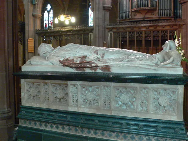
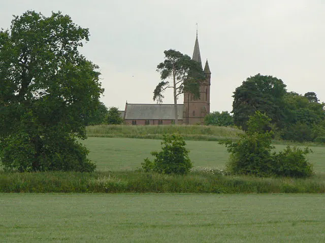
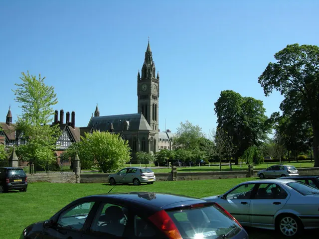
Heritage Around Cheaveley
Photographs of churches, listed buildings and monuments in the vicinity, contributed by volunteers to the Geograph project and reused here under a Creative Commons licence.
© Eirian Evans · Geograph · CC BY-SA 2.0
© Alan Murray-Rust · Geograph · CC BY-SA 2.0
© Bob Shires · Geograph · CC BY-SA 2.0
Images © their respective photographers, licensed under CC BY-SA 2.0 and reused here with attribution. Photographs depict listed buildings, churches and monuments near this settlement and may show neighbouring villages.
Data derived from the Open Domesday project (opendomesday.org), based on the Domesday Book dataset compiled by Professor J.J.N. Palmer and team. The Domesday Book (1086) is in the public domain.
Found an inaccuracy? [email protected]