Chatsworth in the Domesday Book (1086)
Chatsworth is named in the Domesday Book, compiled by Norman commissioners in 1086, entered under the hundred of Blackwell in Derbyshire. The survey assessed Chatsworth at 0.2 carucates of taxable land.
The survey records Chatsworth’s value at 0d in 1086. No pre-Conquest figure survives – not unusual in the North, where records were disrupted by the Harrying and by the patchy coverage of the survey.
The Domesday survey records Chatsworth as waste - uninhabited and unproductive. In Yorkshire, this designation most often reflects the Harrying of the North of 1069–70, when William I’s forces destroyed crops, livestock, and communities across the county to crush rebellion. Whether Chatsworth recovered in subsequent decades is not recorded.
Other Settlements in Blackwell
- Abney
- Ashford [-in-the-Water]
- Aston
- Bakewell
- Bamford
- Baslow
- Beeley
- Birchills
- Birchover
- Blackwell
- Bradwell
- Bubnell
- Burley
- Burton
The Meaning of the Name
The name Chatsworth is of Anglo-Saxon origin. Its final element derives from the Old English word worð, an enclosure or homestead. The first element is most likely a personal name or an early descriptive term, now difficult to recover with certainty. Taken together the name probably meant something close to ‘a enclosure’.
Remarkably, the name has changed little since 1086, when the Domesday scribes wrote it as Chatsworth.
Listed Buildings Near Chatsworth
Historic England records 34 listed buildings within about a mile of Chatsworth. Listing protects structures of special architectural or historic interest, graded I (exceptional), II* (particularly important) and II.
Grade I
- Former Stables at Chatsworth House - 0.45 km
- Conduit House Cascade and Adjoining Statues - 0.51 km
- Egyptian Statue behind the Dukes Greenhouse 9 metres from the corner - 0.54 km
- Egyptian Statue Behind the Dukes Greenhouse 3 Metres From the Corner - 0.55 km
- Temple of Flora - 0.58 km
- Chatsworth House - 0.68 km
- Series of Herms and Altars laid out in a Y to the east of the Ring Pond - 0.71 km
Grade II*
- The Hunting Tower - 0.19 km
- The First Dukes Greenhouse - 0.54 km
Grade II
- Summerhouse - 0.35 km
- Aqueduct - 0.41 km
- Giallo Sarcophagus Circa 60 Metres North of the Dukes Greenhouse - 0.49 km
- The Conservative Wall - 0.52 km
- Former Game Larder - 0.53 km
- Group of 18 Columns Enclosing Rose Garden - 0.56 km
- Flight of Steps With Urns and Statues East of Orangery - 0.57 km
- The Willow Tree Fountain - 0.62 km
- Row of Eleven Statues Along the Broadwalk - 0.65 km
- Statue Terminating the Vista to the East of the Ring Pond - 0.69 km
- Group of Statues and Vases on Lawn South of Chatsworth House - 0.74 km
- Terrace With Statues to West Front of Chatsworth House - 0.74 km
- Ice House - 0.75 km
- Retaining Walls and Steps Surrounding the Site of the Great Conservatory - 0.76 km
- The Seahorse Fountain - 0.76 km
…and 10 more listed structures in the area.
Scheduled Monuments Near Chatsworth
Scheduled monuments are nationally important archaeological sites given legal protection. 2 lie within roughly a mile of Chatsworth:
- Cairnfield and field system 560m east of Park Gate Farm - 1.24 km
- Bronze Age settlement and ceremonial remains on Gibbet Moor, 980m north east of Swiss Cottage - 1.47 km
Chatsworth Today
Today Chatsworth lies within the administrative area of Derbyshire Dales, and the settlement recorded a population of 16 at the 2021 census. Nine and a half centuries separate that figure from the small rural community the Domesday survey recorded here in 1086.
Read more about modern Chatsworth on Wikipedia .
Nearby Domesday Settlements
Other places recorded in the 1086 survey within a few miles:
Heritage Around Chatsworth
Photographs of churches, listed buildings and monuments in the vicinity, contributed by volunteers to the Geograph project and reused here under a Creative Commons licence.
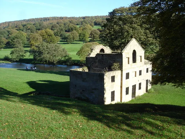
© Roger McLachlan · Geograph · CC BY-SA 2.0
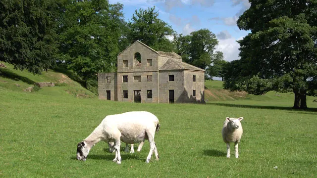
© Peter Tarleton · Geograph · CC BY-SA 2.0
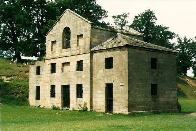
© Richard Croft · Geograph · CC BY-SA 2.0
Images © their respective photographers, licensed under CC BY-SA 2.0 and reused here with attribution. Photographs depict listed buildings, churches and monuments near this settlement and may show neighbouring villages.
Data derived from the Open Domesday project (opendomesday.org), based on the Domesday Book dataset compiled by Professor J.J.N. Palmer and team. The Domesday Book (1086) is in the public domain.
Found an inaccuracy? [email protected]