Charlesworth in the Domesday Book (1086)
The 1086 Domesday survey records the settlement of Charlesworth, entered under the hundred of Blackwell in Derbyshire.
Other Settlements in Blackwell
- Abney
- Ashford [-in-the-Water]
- Aston
- Bakewell
- Bamford
- Baslow
- Beeley
- Birchills
- Birchover
- Blackwell
- Bradwell
- Bubnell
- Burley
- Burton
The Meaning of the Name
The name Charlesworth is of Anglo-Saxon origin. Its final element derives from the Old English word worð, an enclosure or homestead. The first element is most likely a personal name or an early descriptive term, now difficult to recover with certainty. Taken together the name probably meant something close to ‘a enclosure’.
Remarkably, the name has changed little since 1086, when the Domesday scribes wrote it as Charlesworth.
Listed Buildings Near Charlesworth
Historic England records 12 listed buildings within about a mile of Charlesworth. Listing protects structures of special architectural or historic interest, graded I (exceptional), II* (particularly important) and II.
Grade II
- Pinfold - 0.42 km
- Charlesworth War Memorial - 0.44 km
- Church of St John the Evangelist - 0.46 km
- Town Lane Farmhouse - 0.48 km
- Independent Chapel - 0.53 km
- 46 and 48 Town Lane - 0.54 km
- Walls to Independent Chapel - 0.57 km
- Hilltop Farmhouse - 0.99 km
- Thornlea Farmhouse - 1.21 km
- Fold Cottage - 1.23 km
- Fold Farmhouse - 1.25 km
- Barn opposite Fold Farmhouse - 1.27 km
Scheduled Monuments Near Charlesworth
Scheduled monuments are nationally important archaeological sites given legal protection. 3 lie within roughly a mile of Charlesworth:
- A wayside and a boundary cross known as Robin Hood’s Picking Rods - 1.53 km
- Cup-marked stone 80m east of Robin Hood’s Picking Rods - 1.53 km
- Round cairn between Coombes Edge and Cown Edge - 1.55 km
Charlesworth Today
Today Charlesworth lies within the administrative area of High Peak, and the settlement recorded a population of 2,390 at the 2021 census. Nine and a half centuries separate that figure from the small rural community the Domesday survey recorded here in 1086.
Read more about modern Charlesworth on Wikipedia .
Nearby Domesday Settlements
Other places recorded in the 1086 survey within a few miles:
- Chisworth and Higher Chisworth - 1.4 km SW
- Higher and Lower Dinting - 2.8 km NE
- Whitfield - 3.2 km E
- Chunal - 3.2 km E
- Ludworth - 3.6 km SW
- Hollingworth - 4.0 km N
Heritage Around Charlesworth
Photographs of churches, listed buildings and monuments in the vicinity, contributed by volunteers to the Geograph project and reused here under a Creative Commons licence.
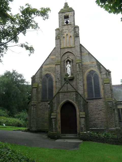
© Gerald England · Geograph · CC BY-SA 2.0
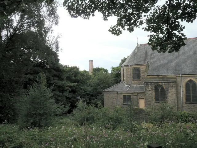
© Gerald England · Geograph · CC BY-SA 2.0
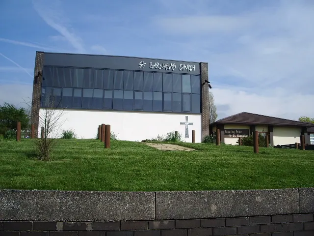
© Alexander P Kapp · Geograph · CC BY-SA 2.0
Images © their respective photographers, licensed under CC BY-SA 2.0 and reused here with attribution. Photographs depict listed buildings, churches and monuments near this settlement and may show neighbouring villages.
Data derived from the Open Domesday project (opendomesday.org), based on the Domesday Book dataset compiled by Professor J.J.N. Palmer and team. The Domesday Book (1086) is in the public domain.
Found an inaccuracy? [email protected]