Chapel Allerton in the Domesday Book (1086)
Chapel Allerton is named in the Domesday Book, compiled by Norman commissioners in 1086, entered under the hundred of Skyrack in Yorkshire. The survey assessed Chapel Allerton at 0.5 carucates of taxable land.
At the time of the survey, Chapel Allerton supported a recorded population of 5 villagers, 8 smallholders, 2 slaves, working 3 ploughs between them.
By 1086 Chapel Allerton was worth 3 shillings, up from 2 shillings before the Conquest – in contrast to many Yorkshire neighbours whose valuations collapsed.
Resources Recorded at Chapel Allerton (1086)
- Meadow: 10 acres
- Woodland: 40 pigs
Other Settlements in Skyrack
- Adel
- Allerton [Bywater]
- Alwoodley
- Arthington
- Austhorpe
- Baildon
- Bardsey
- Barwick [in Elmet]
- Bichertun
- Bicherun
- Bingley
- Birkby [Hill]
- Bramhope
- Burden [Head]
The Meaning of the Name
The name Chapel Allerton is of Anglo-Saxon origin. Its final element derives from the Old English word tūn, a farmstead or village. The first element is most likely a personal name or an early descriptive term, now difficult to recover with certainty. Taken together the name probably meant something close to ‘a farmstead’.
Remarkably, the name has changed little since 1086, when the Domesday scribes wrote it as Chapel Allerton.
Listed Buildings Near Chapel Allerton
Historic England records 61 listed buildings within about a mile of Chapel Allerton. Listing protects structures of special architectural or historic interest, graded I (exceptional), II* (particularly important) and II.
Grade II*
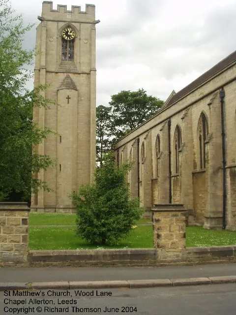
- Church of St Matthew - 0.32 km
Grade II
- 210, Harrogate Road - 0.11 km
- 204 and 206, Harrogate Road - 0.11 km
- 212, Harrogate Road - 0.12 km
- 214 and 216, Harrogate Road - 0.12 km
- 218 and 218A, Harrogate Road - 0.12 km
- 198 and 200, Harrogate Road - 0.12 km
- Turnley House - 0.12 km
- 226, 228 and 230, Harrogate Road - 0.13 km
- 150-170, Harrogate Road - 0.23 km
- St Matthews Parish Hall - 0.27 km
- Hawthorn House - 0.28 km
- 1, NORFOLK GARDENS (See details for further address information) - 0.31 km
- Webton Court - 0.33 km
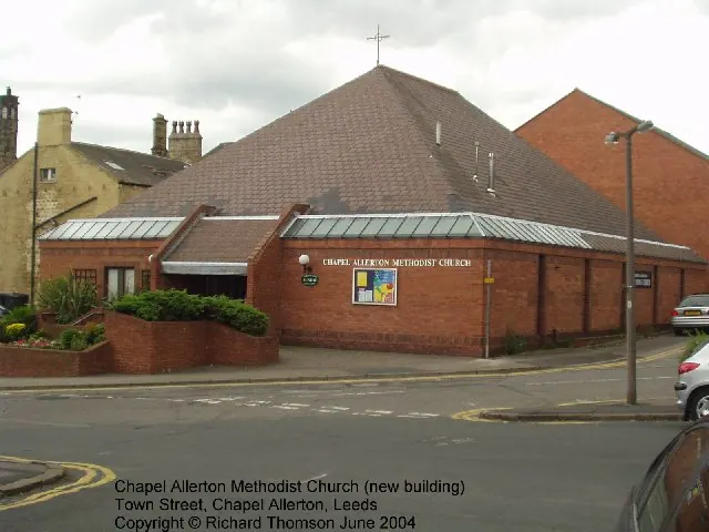
- The Methodist Centre - 0.4 km
- The Cottage - 0.44 km
- The Mustard Pot Public House and Restaurant - 0.45 km
- Chapel Allerton Library and Police Station - 0.45 km
- The Stables - 0.46 km
- Stratford House - 0.49 km
- War Memorial and Railings at Entrance to the Old Graveyard - 0.5 km
- Gateway to Chapel Allerton Old Graveyard - 0.53 km
- Group of 3 Gravestones in the Old Graveyard - 0.53 km
- Allerton Hall - 0.54 km
…and 37 more listed structures in the area.
Chapel Allerton Today
Today Chapel Allerton lies within the administrative area of Leeds, and the settlement recorded a population of 23,536 at recent figures. Nine and a half centuries separate that figure from the small rural community the Domesday survey recorded here in 1086.
Read more about modern Chapel Allerton on Wikipedia .
Nearby Domesday Settlements
Other places recorded in the 1086 survey within a few miles:
Heritage Around [Chapel] Allerton
Photographs of churches, listed buildings and monuments in the vicinity, contributed by volunteers to the Geograph project and reused here under a Creative Commons licence.

© Mike Wallis · Geograph · CC BY-SA 2.0
© Rich Tea · Geograph · CC BY-SA 2.0
© Rich Tea · Geograph · CC BY-SA 2.0
Images © their respective photographers, licensed under CC BY-SA 2.0 and reused here with attribution. Photographs depict listed buildings, churches and monuments near this settlement and may show neighbouring villages.
Data derived from the Open Domesday project (opendomesday.org), based on the Domesday Book dataset compiled by Professor J.J.N. Palmer and team. The Domesday Book (1086) is in the public domain.
Found an inaccuracy? [email protected]