Cayton in the Domesday Book (1086)
Cayton appears in the Domesday Book of 1086, entered under the hundred of Burghshire in Yorkshire. The survey assessed Cayton at 8.5 carucates of taxable land.
At the time of the survey, Cayton supported a recorded population of 6 villagers, 18 smallholders, 1 slave, 37 freemanmen, working 12 ploughs between them.
The survey lists 2 manors at Cayton under different lords. Splitting a single settlement between multiple tenants was common across the North – Saxon estates broken up and handed to William’s followers after 1066.
Resources Recorded at Cayton (1086)
- Mills: 1 mill
- Pigs: 9
- Fisheries: 0
- Meadow: 16 acres
- Woodland: 300 pigs
Other Settlements in Burghshire
- Addlethorpe
- Aismunderby
- Aldfield
- Allerton [Mauleverer]
- Arkendale
- Askwith
- Azerley
- Barrowby [Grange]
- Beckwith [House]
- Besthaim
- Bestham
- Bewerley
- Bilton
- Birstwith
The Meaning of the Name
The name Cayton is of Anglo-Saxon origin. Its final element derives from the Old English word tūn, a farmstead or village. The first element is most likely a personal name or an early descriptive term, now difficult to recover with certainty. Taken together the name probably meant something close to ‘a farmstead’.
Remarkably, the name has changed little since 1086, when the Domesday scribes wrote it as Cayton.
Listed Buildings Near Cayton
Historic England records 13 listed buildings within about a mile of Cayton. Listing protects structures of special architectural or historic interest, graded I (exceptional), II* (particularly important) and II.
Grade II
- Laundry and Game Larder Approximately 5 Metres West of Cayton Hall - 0.53 km
- Cayton Hall - 0.54 km
- Sundial Shaft Approximately 10 Metres South of Cayton Hall - 0.55 km
- Stables and Barn Approximately 50 Metres South West of Cayton Hall - 0.56 km
- Cart Shed and Pigeoncote Approximately 100 Metres South West of Cayton - 0.59 km
- Milepost at Se 3032 6339 - 0.73 km
- Manor Farmhouse - 0.98 km
- Eastern Farmhouse at High Cayton - 1.01 km
- Stables, Cart Sheds and Byres, Now Outbuilding Approximately 20 Metres North of the Eastern Farmhouse - 1.01 km
- Western Farmhouse at High Cayton - 1.04 km
- Barn and wheel-house approximately 30 metres north-west of the western farmhouse at High Cayton - 1.07 km
- Church of St Wilfrid - 1.12 km
- Hincks Hall - 1.26 km
Scheduled Monuments Near Cayton
Scheduled monuments are nationally important archaeological sites given legal protection. 3 lie within roughly a mile of Cayton:
- Cistercian grange and medieval settlement at High Cayton - 1.1 km
- Wallerthwaite medieval village - 1.3 km
- Round barrow 250m west of Wallerthwaite - 1.56 km
Cayton Today
Today Cayton lies within the administrative area of Harrogate, and the settlement recorded a population of 164 at the 2021 census. Nine and a half centuries separate that figure from the small rural community the Domesday survey recorded here in 1086.
Nearby Domesday Settlements
Other places recorded in the 1086 survey within a few miles:
- South Stainley - 1.0 km E
- Markington - 2.0 km N
- Susacres - 2.2 km SE
- Burton Leonard - 3.0 km E
- Bishop Thornton - 3.0 km W
- Ripley - 3.2 km S
Heritage Around Cayton
Photographs of churches, listed buildings and monuments in the vicinity, contributed by volunteers to the Geograph project and reused here under a Creative Commons licence.
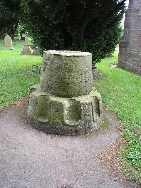
© Richard Swales · Geograph · CC BY-SA 2.0
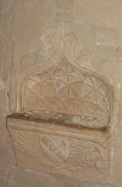
© Gordon Hatton · Geograph · CC BY-SA 2.0
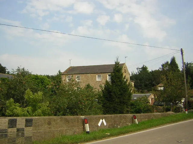
© manonabike · Geograph · CC BY-SA 2.0
Images © their respective photographers, licensed under CC BY-SA 2.0 and reused here with attribution. Photographs depict listed buildings, churches and monuments near this settlement and may show neighbouring villages.
Data derived from the Open Domesday project (opendomesday.org), based on the Domesday Book dataset compiled by Professor J.J.N. Palmer and team. The Domesday Book (1086) is in the public domain.
Found an inaccuracy? [email protected]