Cawton in the Domesday Book (1086)
The settlement of Cawton is recorded in William I’s Domesday survey of 1086, entered under the hundred of Maneshou in Yorkshire. The survey assessed Cawton at 15.2 carucates of taxable land.
At the time of the survey, Cawton supported a recorded population of 24 villagers, 19 smallholders, 6 freemanmen, working 11 ploughs between them.
The valuation dropped between 1066 and 1086. Before 1066, Cawton was worth 9.25 shillings; by 1086 that had dropped to 8.15 shillings – a fall of 11%. Most Yorkshire villages that lost value on this scale were swept up in the Harrying of the North – William’s scorched-earth campaign of 1069–70.
The survey lists 8 manors at Cawton under different lords. Splitting a single settlement between multiple tenants was common across the North – Saxon estates broken up and handed to William’s followers after 1066.
Resources Recorded at Cawton (1086)
- Churches: 1
- Fisheries: 5
- Meadow: 55 acres
Other Settlements in Maneshou
- Amotherby
- Ampleforth
- Appleton [le Street]
- Beadlam
- Brawby
- Broughton
- Coulton
- Fadmoor
- Fryton
- Gillamoor
- Gilling [East]
- Griff [Farm]
- Grimston
- Harome
The Meaning of the Name
The name Cawton is of Anglo-Saxon origin. Its final element derives from the Old English word tūn, a farmstead or village. The first element is most likely a personal name or an early descriptive term, now difficult to recover with certainty. Taken together the name probably meant something close to ‘a farmstead’.
Remarkably, the name has changed little since 1086, when the Domesday scribes wrote it as Cawton.
Listed Buildings Near Cawton
Historic England records 4 listed buildings within about a mile of Cawton. Listing protects structures of special architectural or historic interest, graded I (exceptional), II* (particularly important) and II.
Grade II
- Cawton Manor Farm - 0.54 km
- Sundial Farmhouse - 0.6 km
- Limekiln Approximately 120 Metres West of Cawton Hall - 0.66 km
- Spa Villa - 0.73 km
Scheduled Monuments Near Cawton
Scheduled monuments are nationally important archaeological sites given legal protection. 5 lie within roughly a mile of Cawton:
- Round barrow 250m west of Calf Close Wood - 0.96 km
- Round barrow 400m ESE of Theaker Waster’s Spring - 1.12 km
- Round barrow 550m NNW of Wool Knoll - 1.29 km
- Round barrow 545m NNW of Wool Knoll - 1.3 km
- Round barrow 530m north of Wool Knoll - 1.32 km
Cawton Today
Today Cawton lies within the administrative area of Ryedale, and the settlement recorded a population of 74 at the 2021 census. Nine and a half centuries separate that figure from the small rural community the Domesday survey recorded here in 1086.
Read more about modern Cawton on Wikipedia .
Nearby Domesday Settlements
Other places recorded in the 1086 survey within a few miles:
- Stonegrave - 1.4 km NE
- Hovingham - 2.2 km SE
- Coulton - 2.2 km SW
- Laysthorpe Lodge - 2.2 km NW
- Oswaldkirk - 2.8 km NW
- Gilling East - 3.0 km W
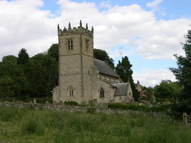
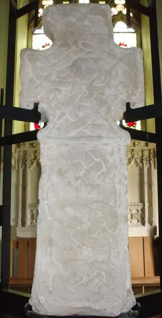
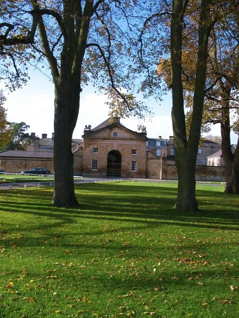
Heritage Around Cawton
Photographs of churches, listed buildings and monuments in the vicinity, contributed by volunteers to the Geograph project and reused here under a Creative Commons licence.
© Stuart and Fiona Jackson · Geograph · CC BY-SA 2.0
© Matthew Hatton · Geograph · CC BY-SA 2.0
© Gordon Hatton · Geograph · CC BY-SA 2.0
Images © their respective photographers, licensed under CC BY-SA 2.0 and reused here with attribution. Photographs depict listed buildings, churches and monuments near this settlement and may show neighbouring villages.
Data derived from the Open Domesday project (opendomesday.org), based on the Domesday Book dataset compiled by Professor J.J.N. Palmer and team. The Domesday Book (1086) is in the public domain.
Found an inaccuracy? [email protected]