Cawthorn in the Domesday Book (1086)
Cawthorn is named in the Domesday Book, compiled by Norman commissioners in 1086, entered under the hundred of Dic in Yorkshire.
Other Settlements in Dic
- Aislaby
- Allerston
- Appleton [le Moors]
- Aschelesmersc
- Aschilesmares
- Barton [le Street]
- Baschebi
- Baschesbi
- Brompton
- Burniston
- Burton [Dale]
- Cayton
- Chigogemers
- Chigomersc
The Meaning of the Name
The origin of the name Cawthorn is not securely established from its modern form alone; like many settlement names in the North it likely combines an Old English or Old Norse personal name with a landscape term.
Remarkably, the name has changed little since 1086, when the Domesday scribes wrote it as Cawthorn.
Listed Buildings Near Cawthorn
Historic England records 2 listed buildings within about a mile of Cawthorn. Listing protects structures of special architectural or historic interest, graded I (exceptional), II* (particularly important) and II.
Grade II
- Saintoft Lodge, including associated garden shed, gate piers and railings - 1.22 km
- Cart Shed Approximately 50 Metres East of Whitethorn Farmhouse - 1.26 km
Scheduled Monuments Near Cawthorn
Scheduled monuments are nationally important archaeological sites given legal protection. 9 lie within roughly a mile of Cawthorn:
- Cawthorne medieval settlement remains 150m north east of West Cawthorne - 0.3 km
- Two round barrows at East Cawthorne Farm - 0.45 km
- Round barrow 410m south of Keldy Banks - 0.48 km
- Round barrow 350m north west of Hen Flatts - 0.92 km
- Square barrow adjacent to Cawthorne Camps, 520m north west of Saintoft Lodge - 0.93 km
- Round barrow 550m north of High Nova Farm - 0.94 km
- Cawthorn Roman forts and camp including a section of medieval trackway known as the Portergate - 0.98 km
- Round barrow 600m SSW of Saintoft Grange - 1.5 km
- Round barrow 570m south of Saintoft Grange - 1.58 km
Cawthorn Today
Today Cawthorn lies within the administrative area of Cropton.
Nearby Domesday Settlements
Other places recorded in the 1086 survey within a few miles:
Heritage Around Cawthorn
Photographs of churches, listed buildings and monuments in the vicinity, contributed by volunteers to the Geograph project and reused here under a Creative Commons licence.
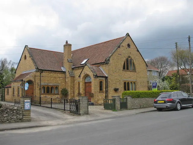
© Pauline E · Geograph · CC BY-SA 2.0
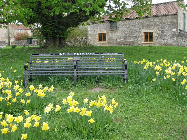
© Pauline E · Geograph · CC BY-SA 2.0
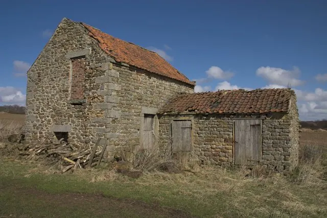
© Colin Grice · Geograph · CC BY-SA 2.0
Images © their respective photographers, licensed under CC BY-SA 2.0 and reused here with attribution. Photographs depict listed buildings, churches and monuments near this settlement and may show neighbouring villages.
Data derived from the Open Domesday project (opendomesday.org), based on the Domesday Book dataset compiled by Professor J.J.N. Palmer and team. The Domesday Book (1086) is in the public domain.
Found an inaccuracy? [email protected]