Catterick in the Domesday Book (1086)
Catterick appears in the Domesday Book of 1086, entered under the hundred of Land of Count Alan in Yorkshire.
Other Settlements in Land of Count Alan
- Achebi
- Agglethorpe
- Ainderby [Mires]
- Ainderby [Quernhow]
- Aiskew
- Aldbrough
- Allerthorpe [Hall]
- Ascam
- Ascham
- Asebi
- Aske [Hall]
- Askrigg
- Aysgarth
- Baldersby
The Meaning of the Name
The origin of the name Catterick is not securely established from its modern form alone; like many settlement names in the North it likely combines an Old English or Old Norse personal name with a landscape term.
Remarkably, the name has changed little since 1086, when the Domesday scribes wrote it as Catterick.
Listed Buildings Near Catterick
Historic England records 38 listed buildings within about a mile of Catterick. Listing protects structures of special architectural or historic interest, graded I (exceptional), II* (particularly important) and II.
Grade I
- Church of Saint Anne - 0.77 km
Grade II
- Building 46 (Station Headquarters) - 0.21 km
- Building 31 (Officers’ Mess and Quarters) - 0.23 km
- Building 124 (Operations Block) - 0.25 km
- Building 54 (Watch Office With Tower) - 0.32 km
- Building 68 (Watch Office) - 0.45 km
- 12 High Street - 0.7 km
- 14, High Street - 0.71 km
- Academy Buildings - 0.71 km
- Angel Inn - 0.71 km
- County Hotel - 0.72 km
- Royal Garden Chop Suey House - 0.73 km
- 25, High Street - 0.73 km
- 24, Low Green - 0.73 km
- Country Fayre - 0.74 km
- Stepping Stones House - 0.75 km
- 36, Low Green - 0.76 km
- Oak Tree Inn - 0.76 km
- Tombstone of Thomas Roodes, Died 1706, to Left of Porch of Church of Saint Anne - 0.77 km
- 43, High Street - 0.79 km
- 41A, High Street - 0.79 km
- Chandlers House - 0.79 km
- The Corner House - 0.8 km
- 44A, Low Green - 0.81 km
…and 14 more listed structures in the area.
Scheduled Monuments Near Catterick
Scheduled monuments are nationally important archaeological sites given legal protection. 4 lie within roughly a mile of Catterick:
- Bainesse Roman roadside settlement and Anglian cemetery - 0.7 km
- Pallet Hill motte and bailey castle, 80m north west of St Anne’s Church - 0.85 km
- Castle Hills medieval motte and bailey castle, and 20th century airfield defences, 700m north east of Oran House - 0.95 km
- World War II fighter pens and associated defences at former RAF Catterick, 120m south and 340m north east of Oran House - 1.28 km
Catterick Today
Today Catterick lies within the administrative area of North Yorkshire, and the settlement recorded a population of 2,717 at the 2021 census. Nine and a half centuries separate that figure from the small rural community the Domesday survey recorded here in 1086.
Read more about modern Catterick on Wikipedia .
Nearby Domesday Settlements
Other places recorded in the 1086 survey within a few miles:
- Ellerton on Swale - 1.0 km E
- Killerby Hall - 1.4 km SE
- Bolton upon Swale - 2.2 km NE
- East Appleton - 2.2 km SW
- Brough Hall - 3.0 km W
- Hackforth - 3.0 km S
Heritage Around Catterick
Photographs of churches, listed buildings and monuments in the vicinity, contributed by volunteers to the Geograph project and reused here under a Creative Commons licence.
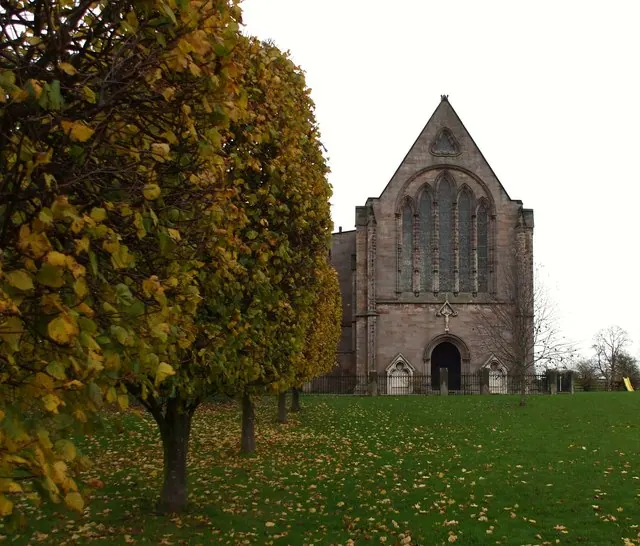
© Matthew Hatton · Geograph · CC BY-SA 2.0
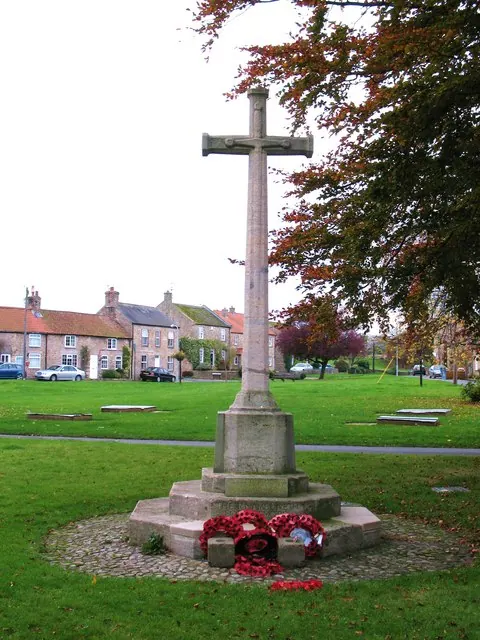
© Gordon Hatton · Geograph · CC BY-SA 2.0
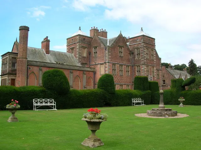
© DS Pugh · Geograph · CC BY-SA 2.0
Images © their respective photographers, licensed under CC BY-SA 2.0 and reused here with attribution. Photographs depict listed buildings, churches and monuments near this settlement and may show neighbouring villages.
Location
54.3723°N, -1.6228°W · Land of Count Alan hundred, Yorkshire
View larger map on OpenStreetMap →Data derived from the Open Domesday project (opendomesday.org), based on the Domesday Book dataset compiled by Professor J.J.N. Palmer and team. The Domesday Book (1086) is in the public domain.
Found an inaccuracy? [email protected]