Castleton in the Domesday Book (1086)
Castleton appears in the Domesday Book of 1086, entered under the hundred of Blackwell in Derbyshire.
Other Settlements in Blackwell
- Abney
- Ashford [-in-the-Water]
- Aston
- Bakewell
- Bamford
- Baslow
- Beeley
- Birchills
- Birchover
- Blackwell
- Bradwell
- Bubnell
- Burley
- Burton
The Meaning of the Name
The name Castleton is of Anglo-Saxon origin. Its final element derives from the Old English word tūn, a farmstead or village. The first element is most likely a personal name or an early descriptive term, now difficult to recover with certainty. Taken together the name probably meant something close to ‘a farmstead’.
Remarkably, the name has changed little since 1086, when the Domesday scribes wrote it as Castleton.
Listed Buildings Near Castleton
Historic England records 23 listed buildings within about a mile of Castleton. Listing protects structures of special architectural or historic interest, graded I (exceptional), II* (particularly important) and II.
Grade I
Grade II*
- Church of St Edmund - 0.72 km
Grade II
- Bean Hill Farmhouse - 0.64 km
- Range of Outbuildings to West of Bean Hill Farmhouse - 0.65 km
- War Memorial - 0.66 km
- Looe Cottage - 0.69 km
- Sundial in St Edmund’s Churchyard 15 Yards South of Church - 0.7 km
- Pindale Mine Engine House and Attached Chimney - 0.7 km
- Castleton Hall - 0.72 km
- Castle Close Cottage - 0.72 km
- School and Attached Walls and Railings - 0.73 km
- The George - 0.74 km
- Cryer House - 0.75 km
- Toll Bar Cottage and Shop and Attached Wall and Railings - 0.75 km
- Spital Buildings - 0.75 km
- Former Stables at Castleton Hall - 0.76 km
- K6 Telephone Kiosk - 0.76 km
- Castle Hotel - 0.77 km
- Goosehill Hall - 0.91 km
- Barn at Goosehill Hall - 0.96 km
- Gate Piers at Goosehill Hall - 0.99 km
- Mile Post East of Marston Farm Sk159834 - 1.01 km
- Milepost at Os 146 828 - 1.09 km
Scheduled Monuments Near Castleton
Scheduled monuments are nationally important archaeological sites given legal protection. 8 lie within roughly a mile of Castleton:
- Pin Dale lead side veins - 0.27 km
- Palisaded hilltop enclosure 230m SSE of Dirt Low - 0.39 km
- Town defences 270m north and 350m north east of Peveril Castle - 0.66 km
- Peveril Castle eleventh to fourteenth century tower keep castle - 0.7 km
- Medieval hospital 530m south east of Losehill Hall - 0.86 km
- Round barrow 500m south west of Peveril Castle - 0.92 km
- How Grove Lead Mine - 1.01 km
- The Folly platform cairn - 1.29 km
Castleton Today
Today Castleton lies within the administrative area of High Peak, and the settlement recorded a population of 544 at the 2021 census. Nine and a half centuries separate that figure from the small rural community the Domesday survey recorded here in 1086.
Read more about modern Castleton on Wikipedia .
Nearby Domesday Settlements
Other places recorded in the 1086 survey within a few miles:
- Hope - 2.2 km NE
- Bradwell - 2.2 km SE
- Hazelbadge - 2.8 km SE
- Aston - 3.2 km E
- Great and Little Hucklow - 4.1 km S
- Edale - 4.2 km NW
Heritage Around Castleton
Photographs of churches, listed buildings and monuments in the vicinity, contributed by volunteers to the Geograph project and reused here under a Creative Commons licence.
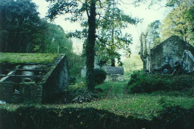
© Humphrey Bolton · Geograph · CC BY-SA 2.0
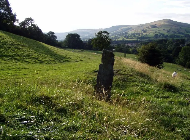
© Mark Dunn · Geograph · CC BY-SA 2.0
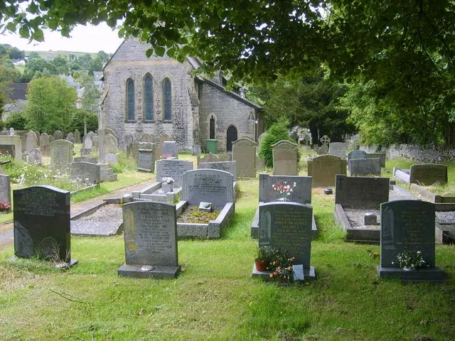
© William Metcalfe · Geograph · CC BY-SA 2.0
Images © their respective photographers, licensed under CC BY-SA 2.0 and reused here with attribution. Photographs depict listed buildings, churches and monuments near this settlement and may show neighbouring villages.
Data derived from the Open Domesday project (opendomesday.org), based on the Domesday Book dataset compiled by Professor J.J.N. Palmer and team. The Domesday Book (1086) is in the public domain.
Found an inaccuracy? [email protected]