Casterton in the Domesday Book (1086)
The 1086 Domesday survey records the settlement of Casterton, entered under the hundred of Amounderness in Yorkshire.
Other Settlements in Amounderness
- Aighton
- Aldcliffe
- Aldingham
- Arkholme
- Aschebi
- Ashton [Hall]
- Ashton [on Ribble]
- Austwick
- Barbon
- Bardsea
- Bare
- Barnoldswick
- Barton
- Beetham
The Meaning of the Name
The name Casterton is of Anglo-Saxon origin. Its final element derives from the Old English word tūn, a farmstead or village. The first element is most likely a personal name or an early descriptive term, now difficult to recover with certainty. Taken together the name probably meant something close to ‘a farmstead’.
Remarkably, the name has changed little since 1086, when the Domesday scribes wrote it as Casterton.
Listed Buildings Near Casterton
Historic England records 13 listed buildings within about a mile of Casterton. Listing protects structures of special architectural or historic interest, graded I (exceptional), II* (particularly important) and II.
Grade II*
- Casterton Hall, East Wing, the Mews (Includes the Orangery) - 0.64 km
- Underley Hall School - 1.27 km
Grade II
- Church of Holy Trinity - 0.25 km
- Barn to West of Bee Nest Farmhouse - 0.26 km
- Bee Nest Farmhouse - 0.26 km
- Casterton Old Hall - 0.32 km
- Cow Shelter Approximately 110M South of High Lodge - 0.5 km
- Limekiln at Sd 621 797 - 0.52 km
- Gatehouse - 0.57 km
- Limekiln at Sd 628 799 - 0.6 km
- Old Manor - 0.62 km
- Milestone by the Grange - 0.66 km
- Kirfitt Hall and Attached Outbuilding - 0.82 km
Scheduled Monuments Near Casterton
Scheduled monuments are nationally important archaeological sites given legal protection. 3 lie within roughly a mile of Casterton:
- Stone circle 200yds (180m) SE of Langthwaite Gill Plantation - 1.44 km
- Sculptured cross near Shamrock Wood, Whelprigg - 1.52 km
- Cockpit Hill, medieval motte castle - 1.59 km
Casterton Today
Today Casterton lies within the administrative area of South Lakeland, and the settlement recorded a population of 353 at the 2021 census. Nine and a half centuries separate that figure from the small rural community the Domesday survey recorded here in 1086.
Read more about modern Casterton on Wikipedia .
Nearby Domesday Settlements
Other places recorded in the 1086 survey within a few miles:
- Kirkby Lonsdale - 1.0 km W
- Thirnby Wood - 2.2 km SW
- Barbon - 3.2 km N
- Lower Leck - 3.6 km SE
- Whittington - 3.6 km SW
- Mansergh - 4.2 km NW
Heritage Around Casterton
Photographs of churches, listed buildings and monuments in the vicinity, contributed by volunteers to the Geograph project and reused here under a Creative Commons licence.
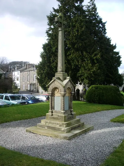
© Alexander P Kapp · Geograph · CC BY-SA 2.0
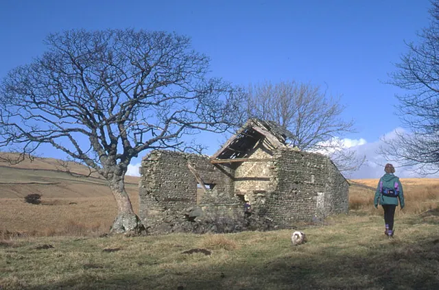
© Tom Richardson · Geograph · CC BY-SA 2.0
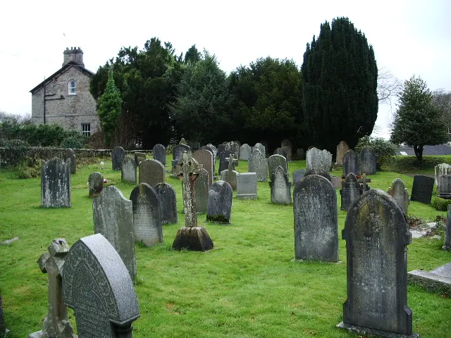
© Alexander P Kapp · Geograph · CC BY-SA 2.0
Images © their respective photographers, licensed under CC BY-SA 2.0 and reused here with attribution. Photographs depict listed buildings, churches and monuments near this settlement and may show neighbouring villages.
Data derived from the Open Domesday project (opendomesday.org), based on the Domesday Book dataset compiled by Professor J.J.N. Palmer and team. The Domesday Book (1086) is in the public domain.
Found an inaccuracy? [email protected]